
Cova Freda
A 232 m-long cavity in Montserrat (Collbató), known since time immemorial and in a lamentable state of conservation.
EspeleoWorld
Cova Freda
A 232 m-long cavity in Montserrat (Collbató), known since time immemorial and in a lamentable state of conservation.
Collbató · Baix Llobregat
Length: 232 m · Depth: 16 m
Updated record
https://espeleoworld.com/en/c/cova-freda
Information can change. Always verify coordinates, access, weather, and cave conditions before setting out.
A 232 m-long cavity in Montserrat (Collbató), known since time immemorial and in a lamentable state of conservation.
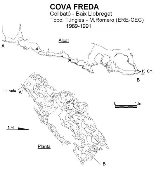
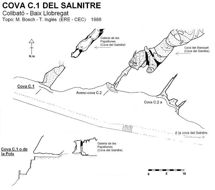
Topographic
Espeleoindex · CC BY-NC 4.0, https://creativecommons.org/licenses/by-nc/4.0/ · Image © its author.
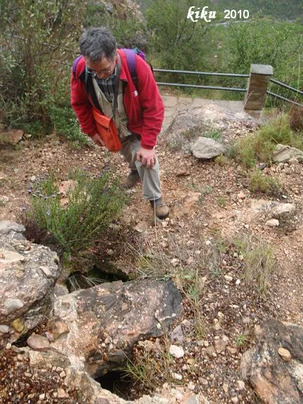
Photos
Espeleoindex · CC BY-NC 4.0, https://creativecommons.org/licenses/by-nc/4.0/ · Image © its author.
Description
Morphology
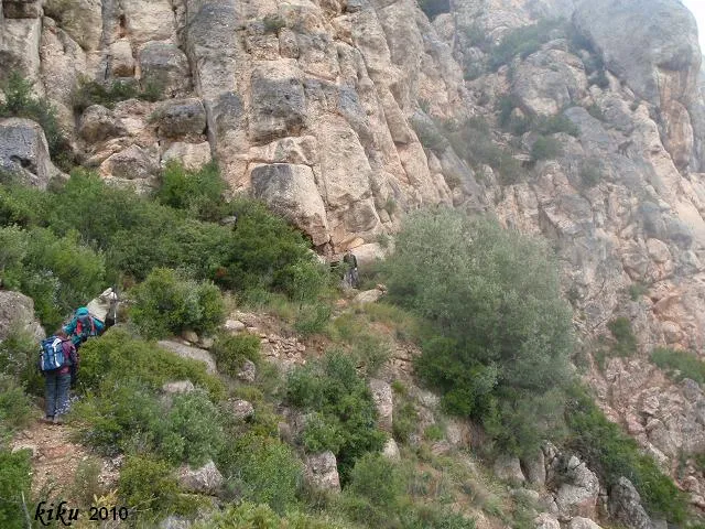
The current entrance is fitted with an iron door that has been open for many years; its installation involved masonry work that caused a second mouth a few metres away to disappear, which also allowed entry into the so-called Vestíbul, a spacious chamber that in some points allows one to stand upright. Some large blocks serve as a viewpoint over a lower hall, which is reached through a low passage to the left of them. To the right of this chamber and through a narrow passage one can enter a gallery (Corredor de la gatera) that is about 20 metres long and remains cut off from the rest of the cavity. Returning to the previous hall, the floor becomes steeper and one reaches a new chamber, smaller than the previous one, dominated by an important clastic morphology, which will be the main feature of the rest of the cavity. Continuing forward there are a series of diverticula that connect with different spaces between blocks and interconnected with each other. At the lowest point of the Cambra final the point of maximum drop of the cave is reached at the level of – 15.8 metres.
Speleothems
Climbing up some large blocks one can reach the final hall by different points, located on a lower level, in which different lithogenic forms appear, especially flowstone and stalagmitic formations in an advanced state of decalcification.
Other details
The cavity is in a rather lamentable state of conservation, due to the incivility of some visitors who have taken no care when throwing away rubbish and large “graffitis” with paint in every corner of the cave.
History
Despite being a cavity known since time immemorial, it does not appear in the old catalogues (Puig y Larraz; Font i Sagué). Faura in his Recull (1909) mentions a Cova Freda, to which he attributes 13 metres of length and which we think may be another Montserrat cavity. In fact, on a map of the mountain, published in 1909 by the Revista Montserratina, two caves with the same name appear, although the one referred to here appears as Cova Freda 2; the other, which they place in the area of the Clot de la Mònica, we have no data on. The archaeological excavations carried out in 1922 by Josep Colomines and published in 1925 in the work Prehistòria de Montserrat, are the first clear reference to the cova Freda and the cova Gran. It is not until the hydrogeological campaign in Montserrat directed by Llopis Lladó and Thomas Casajuana in the years 1946 to 1948, that in the work published in Speleon in 1953 extensive references are given about the cavity and in fact the only topography known until now. During the 1970s the archaeological excavations continued and the cavity was closed with a metal door, which shortly afterwards became completely unusable. Within the works of the ERE – CEC at the coves del Salnitre at the end of the 1980s, the topographic survey of the cova Freda was also carried out, which has remained unpublished until now (2010).
User Comments (0)
No comments yet.
Be the first to share your experience!
Registered Explorations (0)
No explorations registered yet.
Register your visit to this cave!
Bibliography
Llopis, N.; Thomas, JM. (1953).- “Estudio hidrogeológico de la vertiente meridional de Montserrat”. Speleon IV (3-4): 121-192, Universidad de Oviedo
Nearby caves
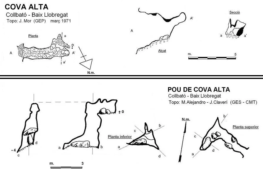


Source: Espeleoindex (espeleoindex.com), modified. CC BY-NC 4.0, https://creativecommons.org/licenses/by-nc/4.0/