
Cova dels Tres Forats
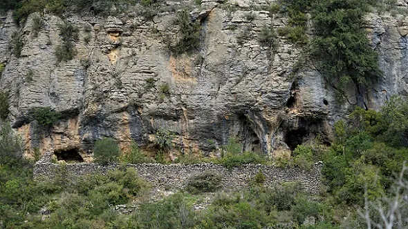
Balma amb tres concavitats a la zona del barranc del Bosc, Cellers (Castell de Mur).
EspeleoWorld
Cova dels Tres Forats
Balma amb tres concavitats a la zona del barranc del Bosc, Cellers (Castell de Mur).
Castell de Mur · Pallars Jussà
Length: 7 m
Updated record
https://espeleoworld.com/en/c/cova-dels-tres-forats
Information can change. Always verify coordinates, access, weather, and cave conditions before setting out.
A rock shelter with three hollows in the barranc del Bosc, Cellers (Castell de Mur), known as the Cova dels Tres Forats.
Photos
Espeleoindex · CC BY-NC 4.0, https://creativecommons.org/licenses/by-nc/4.0/ · Image © its author.
Description
Morphology
It is a rock shelter about 30 metres wide, mostly closed off by a dry-stone wall that must have served as a corral. Three holes can be seen in it which at first sight appear to continue, but this is not the case. This is probably where the name Cova dels Tres Forats comes from.
On the western side and next to the wall that closes the enclosure, there is a first hole 2 metres deep by 3 wide; on the eastern side of the corral there is a second opening that goes about 3 metres inwards and is 2.5 metres high; also on the eastern side and outside the corral we find a third hole with characteristics similar to the previous ones.
Progression
Once we have reached the end of the track a small path begins that initially runs level with a slight climb; we come to a junction and we will follow the left-hand branch until the small path begins to go downhill. Now without a path we will continue to the right until we cross a barranc; from here on the vegetation becomes even thicker and we will have to use secateurs to be able to open a way through; we will reach an area free of vegetation where we will go downhill scrambling a little until we place ourselves at the base of the crag, we will follow this in a westerly direction until we find the cave.
History
Known for a very long time, since it is said that during the civil war the inhabitants of the village of Cellers hid there.
In the June 1956 bulletin of the AEC there appears a note relating: During Holy Week (1956) members of the ERE - AEC were at Terradets and explored: Forat dels Muriacs, Cova de l'Or and Cova dels Tres Forats. Doctor Eduard Ripoll of the Archaeological Museum took part in these explorations.
User Comments (0)
No comments yet.
Be the first to share your experience!
Registered Explorations (0)
No explorations registered yet.
Register your visit to this cave!
Bibliography
- Dades inèdites, coordenades, situació descripció i fotografies facilitades per Antonio Satorra (GELL).
Nearby caves
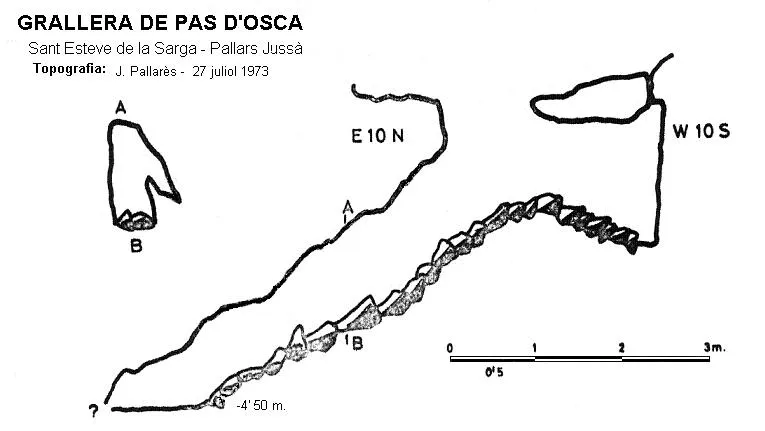

Source: Espeleoindex (espeleoindex.com), modified. CC BY-NC 4.0, https://creativecommons.org/licenses/by-nc/4.0/