
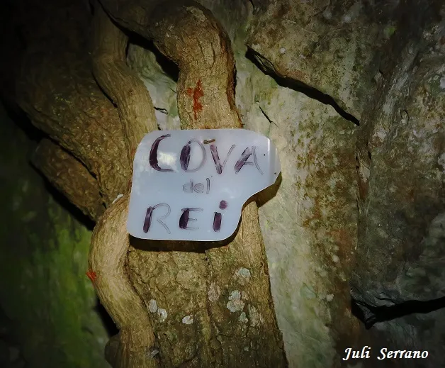
Cova del Rei
A 20 m cave at the Motllats (Capafonts), a single ascending gallery about 8 m wide and 2 m high, with an entrance protected by a dry-stone wall.
EspeleoWorld
Cova del Rei
A 20 m cave at the Motllats (Capafonts), a single ascending gallery about 8 m wide and 2 m high, with an entrance protected by a dry-stone wall.
Capafonts · Baix Camp
Length: 20 m
Updated record
https://espeleoworld.com/en/c/cova-del-rei
Information can change. Always verify coordinates, access, weather, and cave conditions before setting out.
A 20 m cave at the Motllats (Capafonts), a single ascending gallery about 8 m wide and 2 m high, with an entrance protected by a dry-stone wall.
Topographic
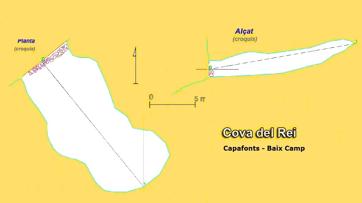

Espeleoindex · CC BY-NC 4.0, https://creativecommons.org/licenses/by-nc/4.0/ · Image © its author.
Photos

Espeleoindex · CC BY-NC 4.0, https://creativecommons.org/licenses/by-nc/4.0/ · Image © its author.
Description
Morphology
It consists of a single gallery about 20 metres long, slightly ascending, about 8 metres wide and about 2 metres high along almost its entire length.
Other details
The entrance is protected by a dry-stone wall one metre high, which indicates its former use for keeping livestock.
History
Cited by J. Iglésies in 1927 as the Coves del Rei, with a careful description of it. It seems to have served as a refuge during the Civil War. Well known to hikers who travel through the area. In August 2017, members of the SIE – CEA (Josu Rizu and Lluïsa Mengual) visited it and made a sketch and photographs of the cavity.
User Comments (0)
No comments yet.
Be the first to share your experience!
Registered Explorations (0)
No explorations registered yet.
Register your visit to this cave!
Bibliography
- Iglèsies, Josep (1927).- “Catalogació d'avencs i coves de la vall del riu Brugent”. Revista del Centre de Lectura (173): 212-226. Reus.
- Borràs, J.; Miñarro,JM.; Talavera, F. (1978).-Catàleg Espeleològic de Catalunya. Vol. 2 (l'Alt Camp, la Conca de Barberà,el Baix Penedès i el Tarragonès):246 pp. Ed. Poliglota. Barcelona.
- Borrás, J.; Miñarro, J.M.; Talavera, F.(1984).-”El Baix Camp, el Priorat i la Ribera d'Ebre” Catàleg Espeleològic de Catalunya (Vol 7):1-283. Ed Políglota. Barcelona.
- Actualització de dades i croquis topogràfic extret del blog: espeleobloc.blogspot (Apunt del 3-9-2017).
- Actualització de dades i fotografies facilitades per Montse Roca i Juli Serrano (SIE-CEA) desembre de 2020.
Nearby caves
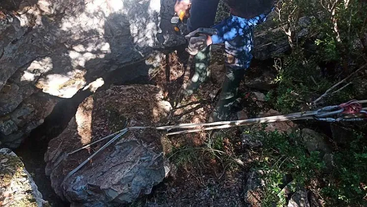
Forat del Portell
0.2 km · W
Capafonts (Baix Camp)
1 topo.5 photos

Forat del Pere Pòstol
0.3 km · SW
Capafonts (Baix Camp)
2 topo.13 photos
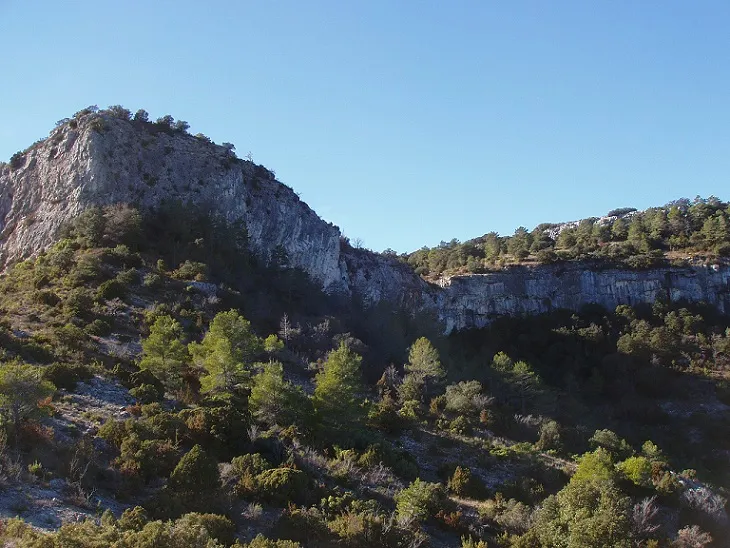
Cova dels Galls Carboners
0.6 km · E
Mont-ral (Alt Camp)
1 topo.5 photos

Avenc de la Serra de l'embestida
0.8 km · NE
Mont-ral (Alt Camp)
1 topo.12 photos
Source: Espeleoindex (espeleoindex.com), modified. CC BY-NC 4.0, https://creativecommons.org/licenses/by-nc/4.0/