

Avenc de la Serra de l'embestida
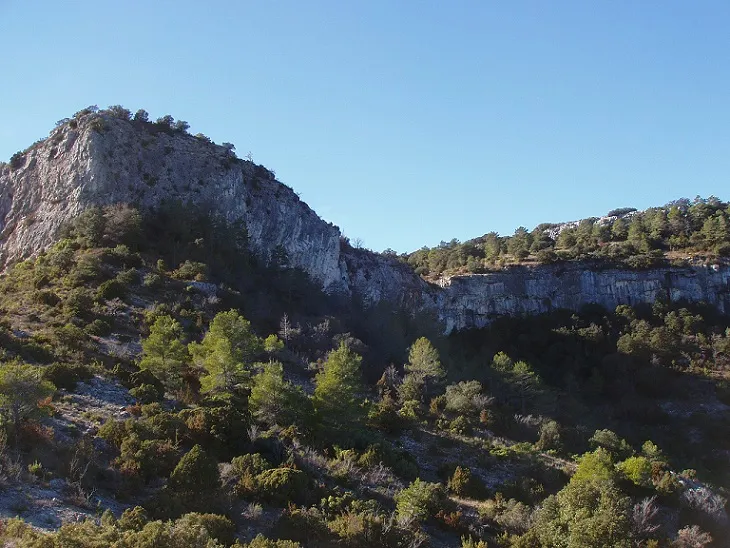
A 29 m deep pit in the Serra de l'Embestida (Mont-ral), with an entrance of 1.36x0.51 m, pits and a diaclase, explored since 2008 and surveyed in 2020.
EspeleoWorld
Avenc de la Serra de l'embestida
A 29 m deep pit in the Serra de l'Embestida (Mont-ral), with an entrance of 1.36x0.51 m, pits and a diaclase, explored since 2008 and surveyed in 2020.
Mont-ral · Alt Camp
Length: 67 m · Depth: 29 m
Updated record
https://espeleoworld.com/en/c/avenc-de-la-serra-de-l-embestida
Information can change. Always verify coordinates, access, weather, and cave conditions before setting out.
A 29 m deep pit in the Serra de l'Embestida (Mont-ral), with an entrance of 1.36x0.51 m, pits and a diaclase, explored since 2008 and surveyed in 2020.
Topographic

Espeleoindex · CC BY-NC 4.0, https://creativecommons.org/licenses/by-nc/4.0/ · Image © its author.
Photos
Espeleoindex · CC BY-NC 4.0, https://creativecommons.org/licenses/by-nc/4.0/ · Image © its author.
Description
Morphology
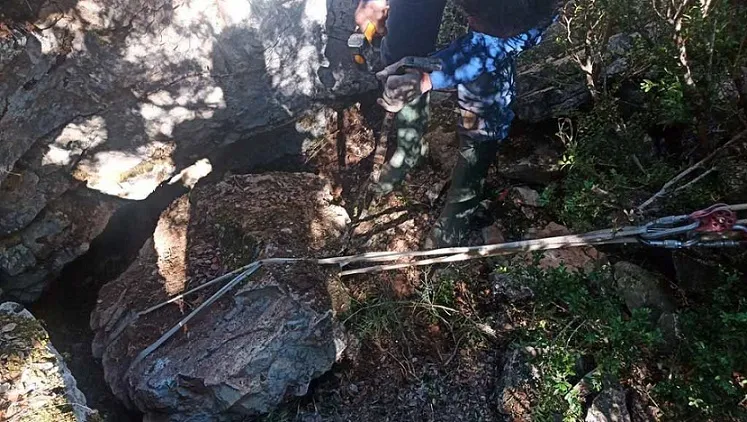
An entrance of 1.36x0.51 that was very probably opened in part when the track was made gives access to a 3.22 metre pit, where we find a small chamber with a crawlway that ends after a few metres. On one side of the small chamber there is a 5.36 metre pit, which places us in a diaclase with a sloping floor, and some drops that require rigging.
At the lowest point of the diaclase a 3.46 metre pit opens, which places us on a steeply sloping level that introduces us into a wide gallery with large blocks. On the right we find a passage that ends after a few metres and on the left-hand side of the gallery, behind the large blocks, we find a narrow and elongated 2.69 metre pit that places us at the deepest point of the cavity, at -29.6 metres.
Speleothems
On the walls of this sector we find many stalagmitic flows.
Progression
An entrance of 1.36x0.51 gives access to a 3.22 metre pit; on one side of the small chamber there is a 5.36 metre pit, which places us in a diaclase with a sloping floor, and some drops that require rigging. At the lowest point of the diaclase a 3.46 metre pit opens, which places us on a steeply sloping level that introduces us into a wide gallery with large blocks; on the left-hand side of the gallery, behind the large blocks, we find a narrow and elongated 2.69 metre pit that places us at the deepest point of the cavity, at -29.6 metres.
History
The first news of the cavity was provided around 2008 to Joan Pallisé, at the bar in Capafonts, by a gentleman they call Estevet who has a house in the La Cadeneta area. A few months later he accompanied them to the cavity, observing that the entrance was blowing and that on the entrance rock there were some small letters painted in black that said ERE. In principle we think it is the ERE – AEC of Reus, who must have made the first exploration (there is also an old and rusty spit at the bottom of the first pit). We do not know the date of the exploration or whether they named it with any name.
In June and August 2015 Joan Pallisé and Ramon Sendra (Montblanc) carry out the exploration and devote themselves primarily to the collection of fauna. Some time later they pass the coordinates and location on to the Espeleoíndex team.
On 3 October 2020 a team made up of members of the SIE – CEA and the ERE – CEC visit the cavity to carry out the survey and cataloguing work.
Bio
Coleoptera
- Troglocharinus orcinus (Jeannel, 1910)
User Comments (0)
No comments yet.
Be the first to share your experience!
Registered Explorations (0)
No explorations registered yet.
Register your visit to this cave!
Bibliography
- Pallisé, Joan (2018).- “El Troglocharinus orcinus (Jeannel, 1910) un endemisme de les muntanyes de Prades (Coleoptera, Leiodidae) (subespècies, noves localitzacions i relació actualitzada).” Actes de les V Jornades sobre el bosc de Poblet i les Muntanyes de Prades. Paratge Natural d'Interès Nacional de Poblet. Departament de Territori i Sostenibilitat. Generalitat de Catalunya, 2020 p. 157-168. l'Espluga de Francolí.
- Dades biospeleològiques aportades per Joan Pallisé
- Dades generals, topografia i fotografies aportades per Francesc Rubinat (ERE – CEC), Julio Serrano i Montse Roca (SIE – CEA) (octubre 2020)
Nearby caves


Source: Espeleoindex (espeleoindex.com), modified. CC BY-NC 4.0, https://creativecommons.org/licenses/by-nc/4.0/