
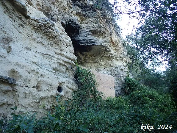
Cova del Mallorquí
Cavity developed in travertines at la Pobla de Claramunt, known and excavated by archaeologists; Amador Romani visited it in 1898 and 1911.
EspeleoWorld
Cova del Mallorquí
Cavity developed in travertines at la Pobla de Claramunt, known and excavated by archaeologists; Amador Romani visited it in 1898 and 1911.
Pobla de Claramunt, La · Anoia
Length: 14 m · Depth: 2 m
Updated record
https://espeleoworld.com/en/c/cova-del-mallorqui
Information can change. Always verify coordinates, access, weather, and cave conditions before setting out.
Cavity developed in travertines at la Pobla de Claramunt, known and excavated by archaeologists; Amador Romani visited it in 1898 and 1911.
Topographic
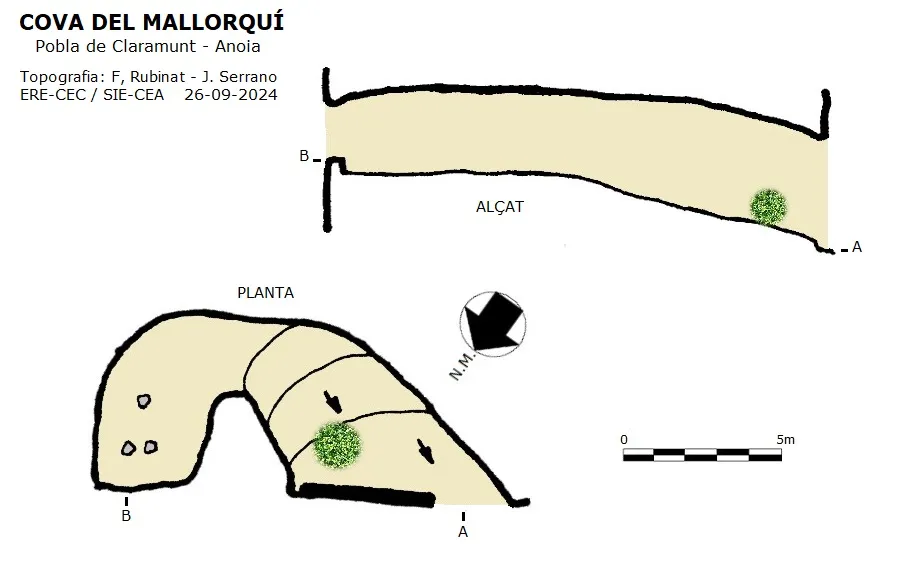
Espeleoindex · CC BY-NC 4.0, https://creativecommons.org/licenses/by-nc/4.0/ · Image © its author.
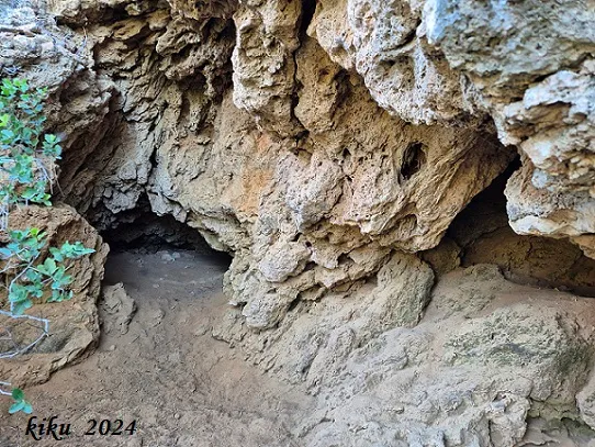
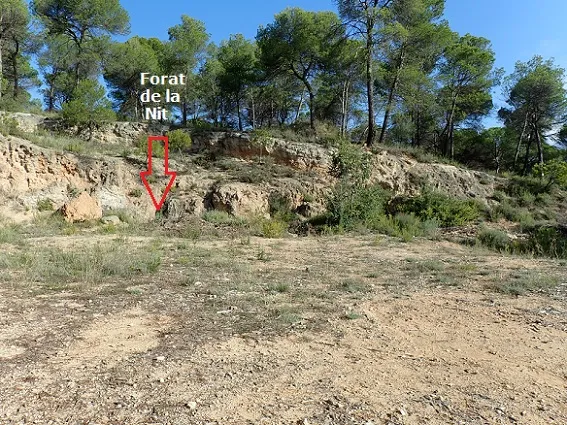
Photos
Espeleoindex · CC BY-NC 4.0, https://creativecommons.org/licenses/by-nc/4.0/ · Image © its author.
Description
Morphology
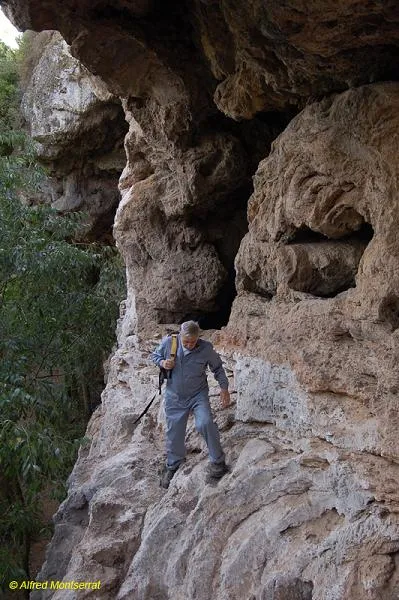
Through a wide mouth, half of which is protected by a rammed-earth wall, we enter a gallery that climbs up and leads us to a chamber where a window opening onto the cliff is cut in the rock wall; this has been worked in its lower part. At various points in the cavity it can be seen that it has been partially modified artificially.
History
Cavity known and excavated by archaeologists; Amador Romani visited it in 1898 and 1911.
User Comments (0)
No comments yet.
Be the first to share your experience!
Registered Explorations (0)
No explorations registered yet.
Register your visit to this cave!
Bibliography
- Totes les dades, coordenades, topografia i fotografies han estat facilitades per Francesc Rubinat (ERE-CEC) i Juli Serrano (SIE-CEA). Setembre 2024.
Nearby caves


Source: Espeleoindex (espeleoindex.com), modified. CC BY-NC 4.0, https://creativecommons.org/licenses/by-nc/4.0/