

Forat de la Nit
Cavity developed in travertines at the Torre de Claramunt, discovered by quarry extraction and explored and surveyed in 1991.
EspeleoWorld
Forat de la Nit
Cavity developed in travertines at the Torre de Claramunt, discovered by quarry extraction and explored and surveyed in 1991.
Torre de Claramunt, La · Anoia
Length: 12 m · Depth: 2 m
Updated record
https://espeleoworld.com/en/c/forat-de-la-nit
Information can change. Always verify coordinates, access, weather, and cave conditions before setting out.
Cavity developed in travertines at the Torre de Claramunt, discovered by quarry extraction and explored and surveyed in 1991.
Topographic


Espeleoindex · CC BY-NC 4.0, https://creativecommons.org/licenses/by-nc/4.0/ · Image © its author.
Photos

Espeleoindex · CC BY-NC 4.0, https://creativecommons.org/licenses/by-nc/4.0/ · Image © its author.
Description
Morphology
The mouth opens at the foot of the small wall left by the rock extraction of the old quarry. A small step leads us into a chamber where on the SE side a small chamber opens. On the NW side a low passage leads us into another small chamber.
Speleothems
The small chamber on the SE side has quite a lot of formation but rather damaged due to occasional visitors. The small chamber on the NW side is quite decorated.
Progression
A small step leads us into a chamber; on the NW side a low passage leads us into another small chamber.
History
Discovered by the action of machines working to extract travertine (popularly known as turo) in a small quarry at the Torre de Claramunt. This fact came to the ears of Anselm Garcia, a member of the EGAN, who passed the information on to his group colleagues. In mid-February 1991 they spent a couple of days exploring and surveying it.
In September 2024, members of Espeleoindex, with the documentation provided many years ago by the colleague Antoni Martín of the EGAN, made their way to the quarry (abandoned for a long time), locating and visiting the small cavity in order to catalogue it with the exact location and take a photograph.
User Comments (0)
No comments yet.
Be the first to share your experience!
Registered Explorations (0)
No explorations registered yet.
Register your visit to this cave!
Bibliography
- EGAN (1991).- “Descoberta i topografiada una cova”. La Veu de l'Anoia (8-3-1991), pàg. 43. Igualada.
- Actualització de dades, coordenades i fotografies facilitades per Francesc Rubinat (ERE-CEC) i Juli Serrano (SIE-CEA). Setembre 2024.
Nearby caves

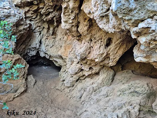
Cova de les Sitges
0.0 km · NE
Torre de Claramunt, La (Anoia)
1 topo.9 photos
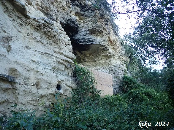
Cova de l'Olivera
1.0 km · NW
Pobla de Claramunt, La (Anoia)
1 topo.3 photos
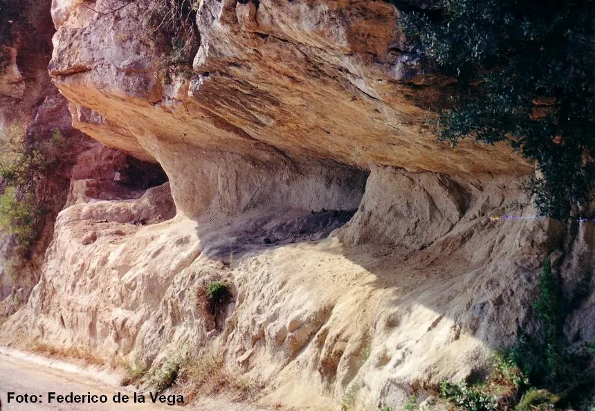
Cova del Mallorquí
1.1 km · NW
Pobla de Claramunt, La (Anoia)
1 topo.6 photos
Balma del Castell de Cabrera
3.2 km · SE
Cabrera d'Anoia (Anoia)
1 topo.1 photos
Source: Espeleoindex (espeleoindex.com), modified. CC BY-NC 4.0, https://creativecommons.org/licenses/by-nc/4.0/