
Cova del Barranc de Fontfreda
An 80-metre-wide and 20-metre-deep rock shelter in Comiols, Isona i Conca Dellà, documented by the GE Lleidatà in 1991.
EspeleoWorld
Cova del Barranc de Fontfreda
An 80-metre-wide and 20-metre-deep rock shelter in Comiols, Isona i Conca Dellà, documented by the GE Lleidatà in 1991.
Isona i Conca Dellà · Pallars Jussà
Length: 20 m
Updated record
https://espeleoworld.com/en/c/cova-del-barranc-de-fontfreda
Information can change. Always verify coordinates, access, weather, and cave conditions before setting out.
An 80-metre-wide and 20-metre-deep rock shelter in Comiols, Isona i Conca Dellà, documented by the GE Lleidatà in 1991.
Topographic
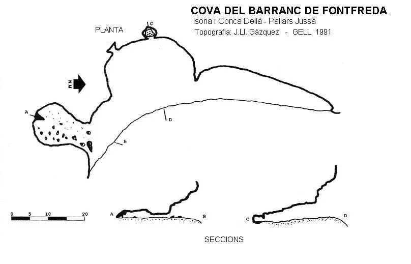

Espeleoindex · CC BY-NC 4.0, https://creativecommons.org/licenses/by-nc/4.0/ · Image © its author.
Description
Morphology
It is a rock shelter 80 metres wide where we find several small adjoining chambers up to 20 metres deep.
Progression
To reach it one can go up the slope from the ravine, which in this stretch changes its name from barranc de la Font Freda to barranc de la Jona, or else follow the path to the balmes de Gramenet and once there take the little path that climbs to Montadó; when we have climbed above the balmes de Gramenet, instead of continuing westwards, we must go towards the S, going around the foot of the cliff that forms a spur; once around this we will follow the same stratum until reaching the cave.
History
The first report about this cavity is provided by the GE Lleidatà in 1991. On the map of the Institut Cartogràfic de Catalunya it appears marked with the name cova de la Font del Camí (?).
User Comments (0)
No comments yet.
Be the first to share your experience!
Registered Explorations (0)
No explorations registered yet.
Register your visit to this cave!
Bibliography
- Cortés i Ribelles, Manuel.(1984).- El Montsec i Muntanyes Veïnes. Centre Excursionista de Lleida.
- Gàzquez i Pons, Josep Lluís (1995).-”Catàleg Espeleològic de la Noguera”. Grallera (3-4):1-90.GELL-CE Lleida.
Nearby caves
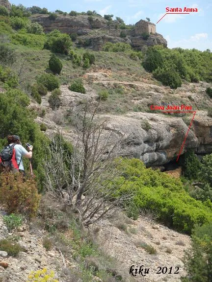
Cova de Joan Pau
0.4 km · W
Isona i Conca Dellà (Pallars Jussà)
1 topo.6 photos
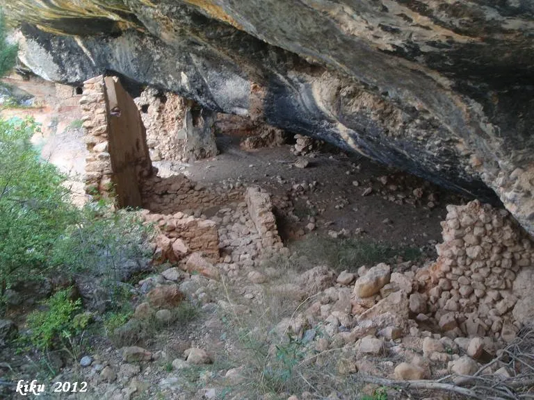
Balmes de Gramenet
0.5 km · SW
Isona i Conca Dellà (Pallars Jussà)
1 topo.9 photos
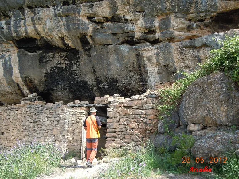
Cova de Montadó
0.5 km · W
Isona i Conca Dellà (Pallars Jussà)
1 topo.7 photos
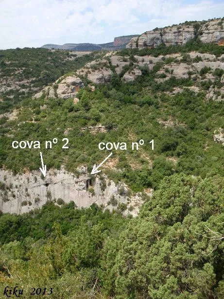
Cova Nº1 de la Font Freda
1.2 km · SW
Isona i Conca Dellà (Pallars Jussà)
1 topo.8 photos
Source: Espeleoindex (espeleoindex.com), modified. CC BY-NC 4.0, https://creativecommons.org/licenses/by-nc/4.0/