
Cova de Montadó
Gran Balma de 26 metres de recorregut a la zona de Comiols, Isona i Conca Dellà.
EspeleoWorld
Cova de Montadó
Gran Balma de 26 metres de recorregut a la zona de Comiols, Isona i Conca Dellà.
Isona i Conca Dellà · Pallars Jussà
Length: 26 m · Depth: 1 m
Updated record
https://espeleoworld.com/en/c/cova-de-montado
Information can change. Always verify coordinates, access, weather, and cave conditions before setting out.
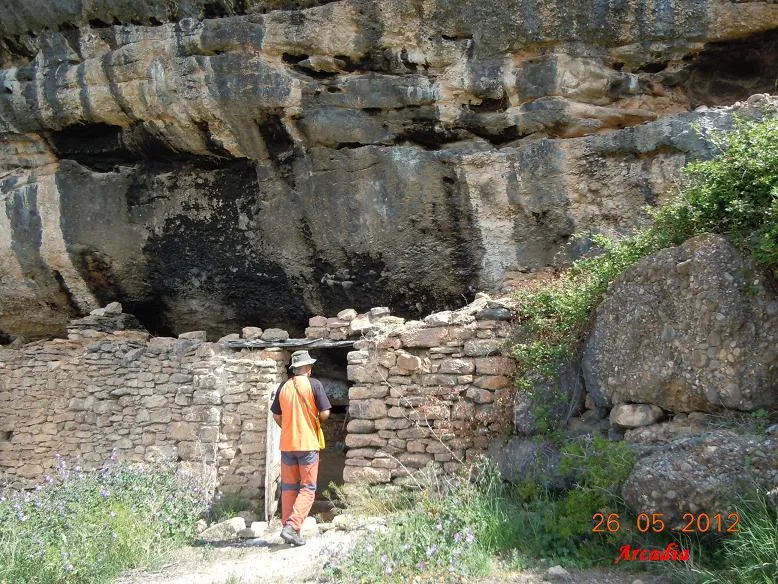
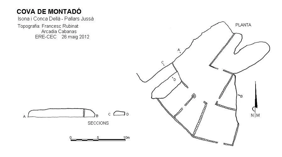
Large rock shelter with a 26-metre route in the Comiols area, Isona i Conca Dellà, worked with several chambers and used as a livestock pen.
Topographic

Espeleoindex · CC BY-NC 4.0, https://creativecommons.org/licenses/by-nc/4.0/ · Image © its author.
Photos

Espeleoindex · CC BY-NC 4.0, https://creativecommons.org/licenses/by-nc/4.0/ · Image © its author.
Description
Morphology
It is a large rock shelter worked with several chambers inside; it has an entrance-to-back route of 26 metres where it is totally dark, the height decreases until it is less than 0.5 metres at the back, mainly due to the large accumulation of excrement produced by the flocks of sheep that for a long time have used the cave as a livestock pen.
History
Cave used and known in the area since prehistoric times. The first speleological mention of the cavity was made by Manuel Cortés in the book “El Montsec i Muntanyes veïnes (1984)”.
Both the Institut Cartogràfic de Catalunya and the official gazetteer of toponymy of Catalonia cite this cavity with the name “cova de Montadó de Dalt”, but they wrongly place it in the municipality of Vilanova de Meià and in the comarca of Noguera.
User Comments (0)
No comments yet.
Be the first to share your experience!
Registered Explorations (0)
No explorations registered yet.
Register your visit to this cave!
Bibliography
- Cortés i Ribelles, Manuel.(1984).- El Montsec i Muntanyes Veïnes. Centre Excursionista de Lleida.
Nearby caves
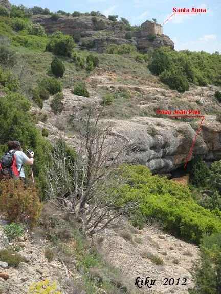
Cova de Joan Pau
0.1 km · SE
Isona i Conca Dellà (Pallars Jussà)
1 topo.6 photos
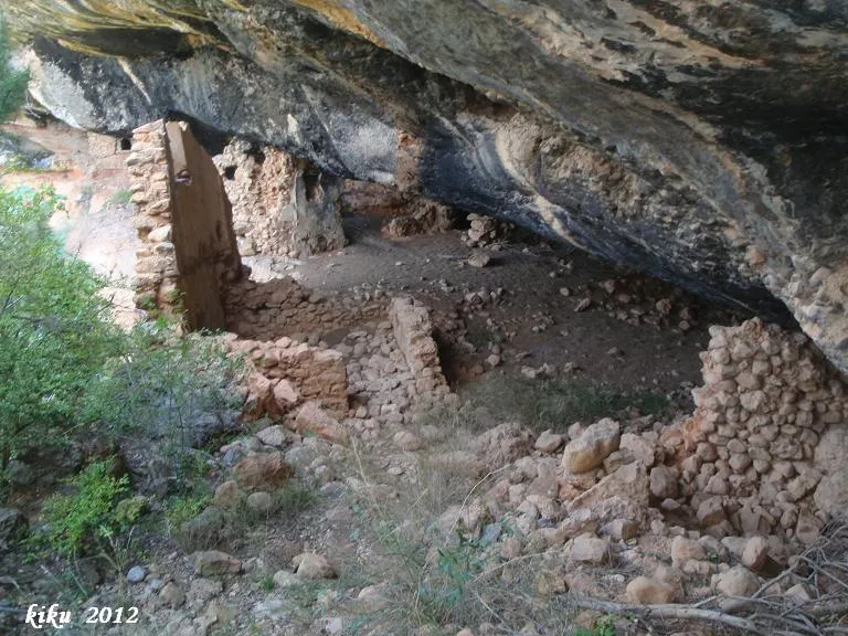
Balmes de Gramenet
0.4 km · SE
Isona i Conca Dellà (Pallars Jussà)
1 topo.9 photos
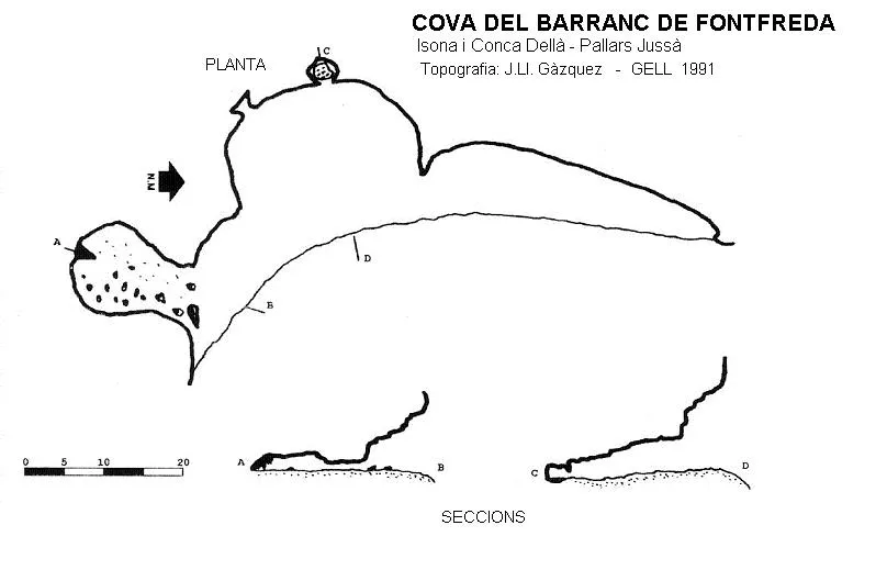
Cova del Barranc de Fontfreda
0.5 km · E
Isona i Conca Dellà (Pallars Jussà)
1 topo.
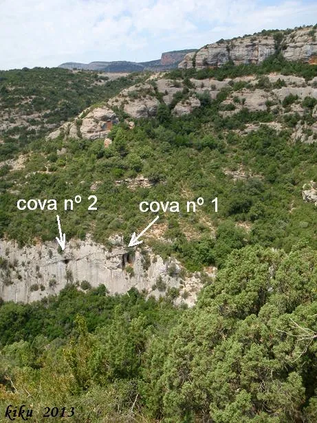
Cova Nº1 de la Font Freda
1.0 km · S
Isona i Conca Dellà (Pallars Jussà)
1 topo.8 photos
Source: Espeleoindex (espeleoindex.com), modified. CC BY-NC 4.0, https://creativecommons.org/licenses/by-nc/4.0/