
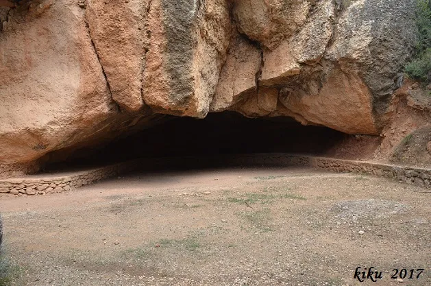
Cova de Sant Roc
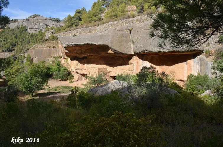
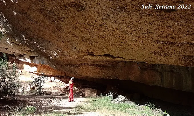
A wide rock shelter at the ermita de Sant Roc, Cabacés, known since time immemorial and used for the ermita.
EspeleoWorld
Cova de Sant Roc
A wide rock shelter at the ermita de Sant Roc, Cabacés, known since time immemorial and used for the ermita.
Cabacés · Priorat
Length: 10 m
Updated record
https://espeleoworld.com/en/c/cova-de-sant-roc
Information can change. Always verify coordinates, access, weather, and cave conditions before setting out.
A wide rock shelter at the ermita de Sant Roc, Cabacés, known since time immemorial and used for the ermita.
Topographic
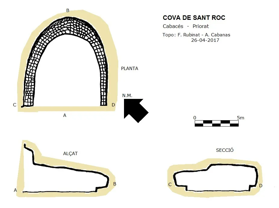
Espeleoindex · CC BY-NC 4.0, https://creativecommons.org/licenses/by-nc/4.0/ · Image © its author.
Photos
Espeleoindex · CC BY-NC 4.0, https://creativecommons.org/licenses/by-nc/4.0/ · Image © its author.
Description
Morphology
It is a wide rock shelter that has been fitted out and used for the ermita.
History
Cavity known since time immemorial.
User Comments (0)
No comments yet.
Be the first to share your experience!
Registered Explorations (0)
No explorations registered yet.
Register your visit to this cave!
Bibliography
- Totes les dades han estat aportades per espeleoíndex.
Nearby caves
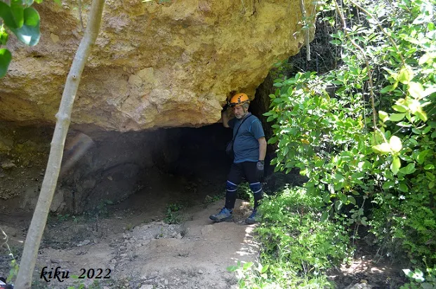
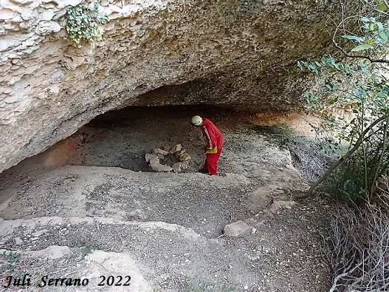


Source: Espeleoindex (espeleoindex.com), modified. CC BY-NC 4.0, https://creativecommons.org/licenses/by-nc/4.0/