
Cova de les Llosanques
Coneguda cova d'uns 16 m. de fondària als Rasos de Peguera
EspeleoWorld
Cova de les Llosanques
Coneguda cova d'uns 16 m. de fondària als Rasos de Peguera
Castellar del Riu · Berguedà
Length: 50 m · Depth: 16 m
Updated record
https://espeleoworld.com/en/c/cova-de-les-llosanques
Information can change. Always verify coordinates, access, weather, and cave conditions before setting out.
A well-known cave about 16 m deep in the Rasos de Peguera, with a 7 m entrance shaft and notable lithogenic formations.
Topographic
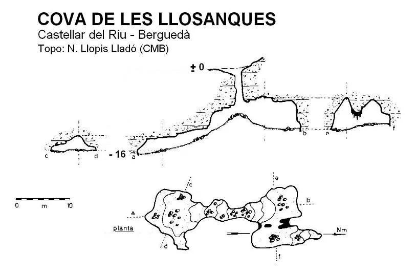
Espeleoindex · CC BY-NC 4.0, https://creativecommons.org/licenses/by-nc/4.0/ · Image © its author.
Photos
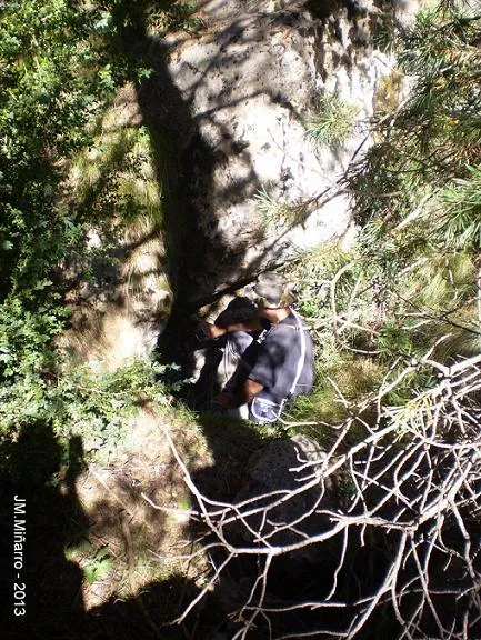
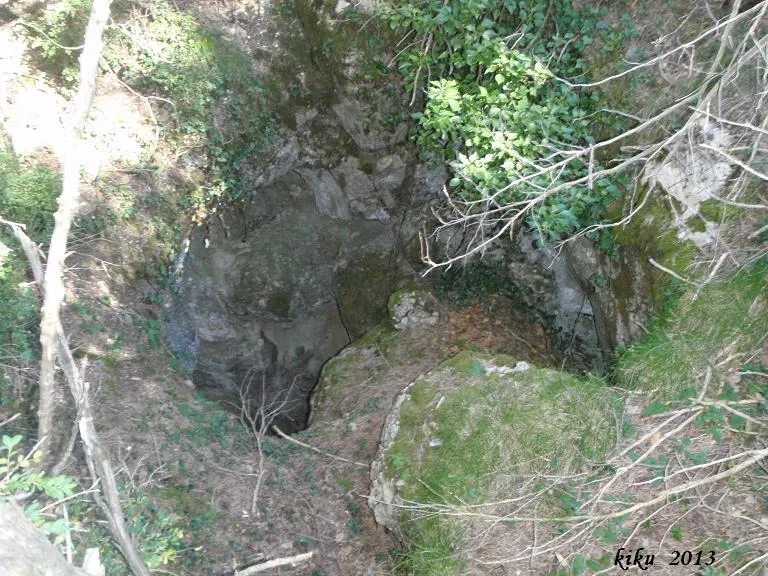
Espeleoindex · CC BY-NC 4.0, https://creativecommons.org/licenses/by-nc/4.0/ · Image © its author.
Description
Morphology
Through the entrance, a little more than one metre long and 40 centimetres wide, one enters a small vertical shaft with a drop of about 7 metres. At its bottom a medium-sized chamber is formed, and at its end, below the entrance shaft, a short ascending ramp leads to a new smaller room.
Speleothems
The lithogenic formations are quite notable.
Progression
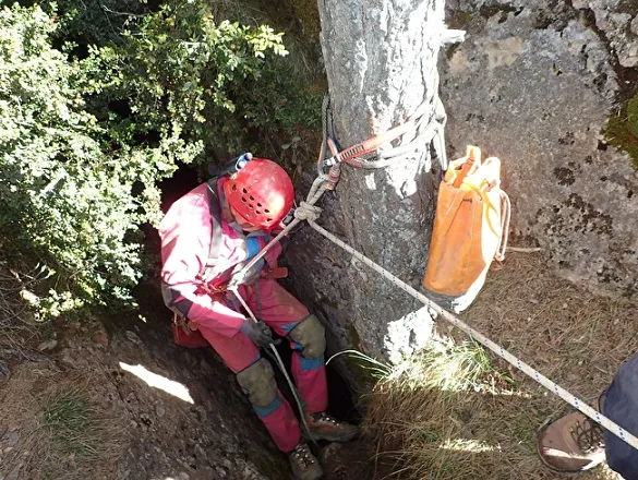
In the past the small shaft could easily be descended thanks to a long trunk, which is no longer there today, so the use of a rope is necessary.
History
Known since time immemorial. Font i Sagué in his Catàlech (1897) mentions it as Cova de les Lloranques. It is cited and described in many hiking guides and articles about the Berguedà. The only survey we have is the one made by N. Llopis Lladó around 1934-35, which remained unpublished in the GES – CMB archive until it was published in the Catàleg Espeleològic de Catalunya, vol. 5 (1980). There is also another one, published in Soterrània no. 1 (1968) by the GE Talaia de Vilanova i la Geltrú, but the drawing is unrecoverable.
It would probably be more correct to call it Bòfia de les Llosanques, but it has always been known by the toponym cova, which we prefer to respect.
User Comments (0)
No comments yet.
Be the first to share your experience!
Registered Explorations (0)
No explorations registered yet.
Register your visit to this cave!
Bibliography
- Borràs,J; Miñarro,J.M; Talavera,F.(1980).-”l'Urgell, el Solsonès, la Segarra i el Berguedà”. Catàleg Espeleològic de Catalunya (vol. 5): 1-233. Ed. Políglota. Barcelona.
- Fotos extretes del web: espeleodijous.cat Apunt del 25-3-2021: Cova de les Llosanques.
- Fotos extretes del web: espeleobloc.cat Apunts dels dies 1,2 i 3-03-2015: Cova de les Llosanques.
Nearby caves


Source: Espeleoindex (espeleoindex.com), modified. CC BY-NC 4.0, https://creativecommons.org/licenses/by-nc/4.0/