
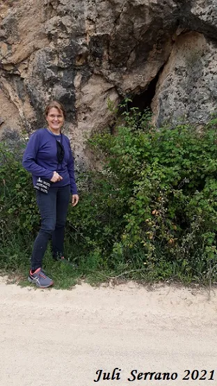
Cova de les Caixes
Cova de 239 m. de recorregut i 49 m de desnivell a Santa Linya.
EspeleoWorld
Cova de les Caixes
Cova de 239 m. de recorregut i 49 m de desnivell a Santa Linya.
Avellanes i Santa Linya, Les · Noguera
Length: 239 m · Depth: 49 m
Updated record
https://espeleoworld.com/en/c/cova-de-les-caixes
Information can change. Always verify coordinates, access, weather, and cave conditions before setting out.
A cave with 239 m of passage and 49 m of elevation change in Santa Linya, with a surveyed length of 238.9 m and an elevation change of 48.5 m (-45.1/+3.40).
Topographic
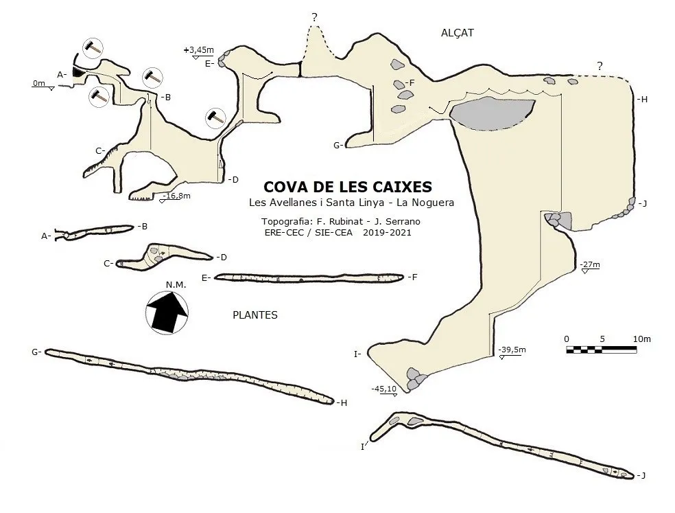

Espeleoindex · CC BY-NC 4.0, https://creativecommons.org/licenses/by-nc/4.0/ · Image © its author.
Photos

Espeleoindex · CC BY-NC 4.0, https://creativecommons.org/licenses/by-nc/4.0/ · Image © its author.
Description
Morphology
The entrance is 0.82x1.26 m and had to be cleared; it turns right and climbs almost 1 metre to a small chamber with a strong draught, which changes direction depending on the time of year. At this point you have to turn around to descend a narrow passage that was also cleared and follow a short gallery to a narrow shaft, also cleared, 3 metres deep. From the small chamber to the base of this shaft, a fixed rope is rigged to make the exit easier. At the base, a short 3-metre gallery leads to the head of a 7.6-metre shaft that was also cleared. Once at the base, if you head back towards the entrance you find a step up that leads to a passage with abundant lithogenic formations, followed by a small shaft that becomes impassable. Back at the base of the shaft, you descend a steep ramp of large blocks; halfway down it, towards the entrance, there is a small passage that leads to an area with abundant and curious stalagmitic formations. Back on the ramp, you finish descending to the base; at some times of year this is covered by about 10 cm of water. The continuation is in the ceiling of the gallery; a fixed rope is rigged, you have to climb up to a wooden platform installed to make access easier and climb a narrow passage that had to be cleared; the shaft is 6.4 metres high, followed by an ascending 3-metre ramp, but wider. Once at the top you are at the base of a 6.45-metre shaft that is equipped with a fixed rope; the head of the shaft is also quite narrow. Once past the shaft you find an equipped handline that leads to a gallery with plenty of formation where the ceiling rises up until it is lost from view; in this area a lot of water trickles down and the draught is also lost. At the end of the gallery it forms a narrow passage with a small pool of water on the floor; the gallery descends until it meets a shaft of about -8 metres that is equipped with a rope. The gallery climbs back up until reaching a point where the floor begins to collapse; from here a long equipped handline begins until reaching a “Y” rope rig. From this point the end of the fissure can be seen further on with no continuation, and the rope rigged in the “Y” is found, descending a -15.5-metre shaft to a pile of blocks that form a base; the fixed rope reaches this point, the excess rope is gathered here and allows descent of the next -11-metre shaft located on the W side of the fissure. The base of the shaft is on a steep downward slope and ends in a new -5.8-metre shaft. The base of this continues descending until reaching the final area with large blocks and quite broken up, with the floor full of a fine white earth resulting from decalcification. The passage is 238.9 metres with an elevation change of 48.5 metres (-45.1/+3.40).
Speleothems
Passage with abundant lithogenic formations. Area with abundant and curious stalagmitic formations. Gallery with plenty of formation where the ceiling rises up until it is lost from view.
Hydrology
The base of the ramp at some times of year is covered by about 10 cm of water. In the area of the gallery with plenty of formation a lot of water trickles down. At the end of the gallery there is a narrow passage with a small pool of water on the floor.
Progression
The cave is fully rigged for exploration, except for the last section that descends to the lowest point, for which you only need to bring a 20-metre rope and 3 hangers for “spit”. All defective ropes have been changed and a new wooden platform has been put in to access the ascending shaft. Inside the cave, in some corners, there are still pieces of unusable rope and some plastic water bottles that the first explorers used; at some point all of this should be removed.
History
A small impassable hole known to Juan Gutiérrez (GELL) for some years was shown to Lluís Pérez Freixinet around 1997, but at that time the hole remained only in memory. It was not until January 2006 that they decided to begin clearing the small fissure, using micro-blaster and with the help of a pneumatic hammer and a Portuguese builder who was at GELL for a time and shortly afterwards disappeared; they managed to open the entrance and little by little cleared the various passages that blocked the continuations, until they were stopped at Christmas 2006 at the base of a narrow ascending shaft. In January 2007 they returned accompanied by Ramon Castellà, from Cervera; he managed to get past the shaft and continue the explorations. They returned in April and May of the same year to do the survey (it is not known what became of it). The last visit to the cave was made on 31-5-2008 with the intention of removing ropes they needed to explore a new cave they had found (the Forat del Balconet). Shortly afterwards Lluís Pérez fell ill and never returned to the Cova de les Caixes; as a consequence of the illness he left us in January 2016. Following a series of trips carried out jointly with Josep M. Molgó and Antoni Satorra (GELL-CEL) with Francesc Rubinat (ERE-CEC) between 2017 and 2019, they indicated where the cova de les Caixes was located, and also expressed the little empathy that existed between the Group (GELL) and the cave in question, which seems to have gained a bad reputation. In February 2019, Juli Serrano (SIE-CEA) and Francesc Rubinat (ERE-CEC), regular collaborators of Espeleoíndex, began the exploration and survey of the cave, but seeing the narrowness of some passages in the cave they decided to widen it from the entrance using more forceful methods; they returned again in July of the same year, getting stopped at the ascending shaft. From then on, 6 more trips were made into the cave by Juli Serrano and Montse Roca (SIE-CEA), the last two in this same year 2021; during these trips they widened the ascending shaft, changed ropes and improved some of the narrow passages, and also replaced the wooden platform with a new one, since the one there was rotten and had broken. On 10-06-2021 Juli Serrano and Francesc Rubinat explored it completely and finished the survey.
User Comments (0)
No comments yet.
Be the first to share your experience!
Registered Explorations (0)
No explorations registered yet.
Register your visit to this cave!
Bibliography
- Valles Jordi de. (2009).-”Alt Urgell, Noguera, Pla d'Urgell, Segarra, Solsonès, Urgell”. Catàleg Espeleològic de Catalunya (vol.2):1-384. EC Gràcia/FCE.
- Pérez Freixinet, Lluís (†). (quartsdequalls.blogspot .com)
- Satorra Vallverdú, Antoni (†). Situació de la cavitat.
- Totes les dades han estat facilitades per Montse Roca i Juli Serrano (SIE-CEA) i Francesc Rubinat (ERE-CEC).
Nearby caves
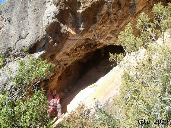
Coveta del Barranc de les Caixes
0.0 km · NE
Avellanes i Santa Linya, Les (Noguera)
1 topo.6 photos
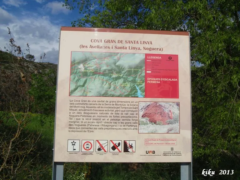
Cova Gran
1.3 km · W
Avellanes i Santa Linya, Les (Noguera)
1 topo.4 photos
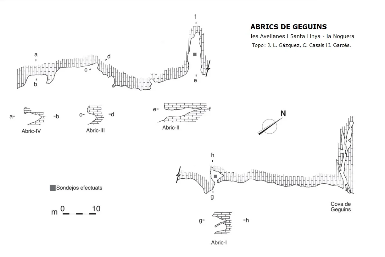
Abrics de Geguins
1.7 km · E
Avellanes i Santa Linya, Les (Noguera)
1 topo.
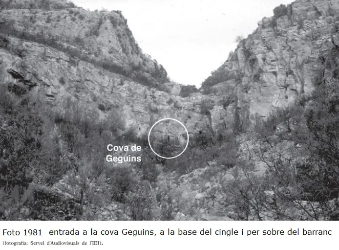
Cova de Geguins
1.7 km · E
Avellanes i Santa Linya, Les (Noguera)
1 topo.15 photos
Source: Espeleoindex (espeleoindex.com), modified. CC BY-NC 4.0, https://creativecommons.org/licenses/by-nc/4.0/