
Cova de la Punta de N'estella
51 m-long sea cave in Palafrugell, with a 20 m-high entrance, 8 m of depth underwater and 4.5 m of width.
EspeleoWorld
Cova de la Punta de N'estella
51 m-long sea cave in Palafrugell, with a 20 m-high entrance, 8 m of depth underwater and 4.5 m of width.
Palafrugell · Baix Empordà
Length: 51 m · Depth: 15 m
Updated record
https://espeleoworld.com/en/c/cova-de-la-punta-de-n-estella
Information can change. Always verify coordinates, access, weather, and cave conditions before setting out.
51 m-long sea cave in Palafrugell, with a 20 m-high entrance, 8 m of depth underwater and 4.5 m of width.
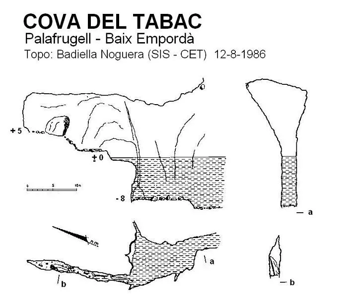
Topographic

Espeleoindex · CC BY-NC 4.0, https://creativecommons.org/licenses/by-nc/4.0/ · Image © its author.
Description
Morphology
Spectacular 20-metre-high entrance (it is considered the highest on the Catalan coast), 8 metres of depth underwater and 4.5 metres of width. The cavity continues with these dimensions until at 25 metres the water must be left and a small rise climbed, continuing over solid rock for about 25 metres more until it ends abruptly.
Progression
At 25 metres the water must be left and a small rise climbed, continuing over solid rock for about 25 metres more until it ends abruptly.
History
Cavity known since remote times by the people of the area. The only data we know are those provided by members of the SIS – CE Terrassa who explored and surveyed it in August 1986.
User Comments (0)
No comments yet.
Be the first to share your experience!
Registered Explorations (0)
No explorations registered yet.
Register your visit to this cave!
Bibliography
- Badiella, Enric; Badiella, Xavier; Badiella, Eduard (1992).- “Les cavitats litorals del Baix Empordà. (I) de Palamós a Aiguablava”. SIS (12): 26-51 / Arxiu del Centre Excursionista de Terrassa (75): 162-187. Terrassa.
Nearby caves



Source: Espeleoindex (espeleoindex.com), modified. CC BY-NC 4.0, https://creativecommons.org/licenses/by-nc/4.0/