
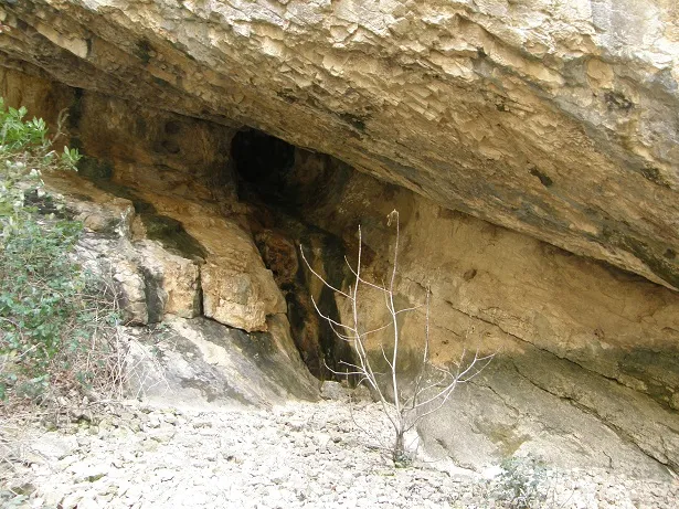
Cova de la Platja
A cave with 83 metres of passage in the municipality of Castell de Mur, with two entrances and ascending and descending galleries.
EspeleoWorld
Cova de la Platja
A cave with 83 metres of passage in the municipality of Castell de Mur, with two entrances and ascending and descending galleries.
Castell de Mur · Pallars Jussà
Length: 83 m · Depth: 6 m
Updated record
https://espeleoworld.com/en/c/cova-de-la-platja
Information can change. Always verify coordinates, access, weather, and cave conditions before setting out.
A cave with 83 metres of passage in the municipality of Castell de Mur, with two entrances and ascending and descending galleries.
Topographic
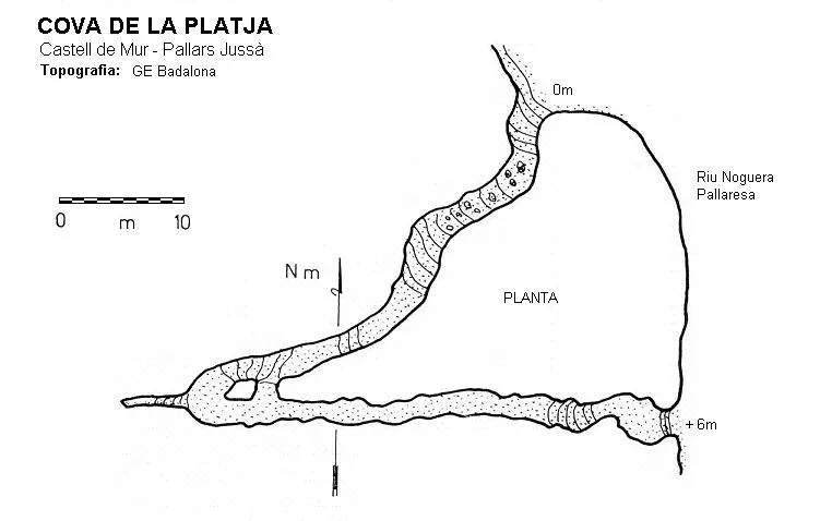
Espeleoindex · CC BY-NC 4.0, https://creativecommons.org/licenses/by-nc/4.0/ · Image © its author.
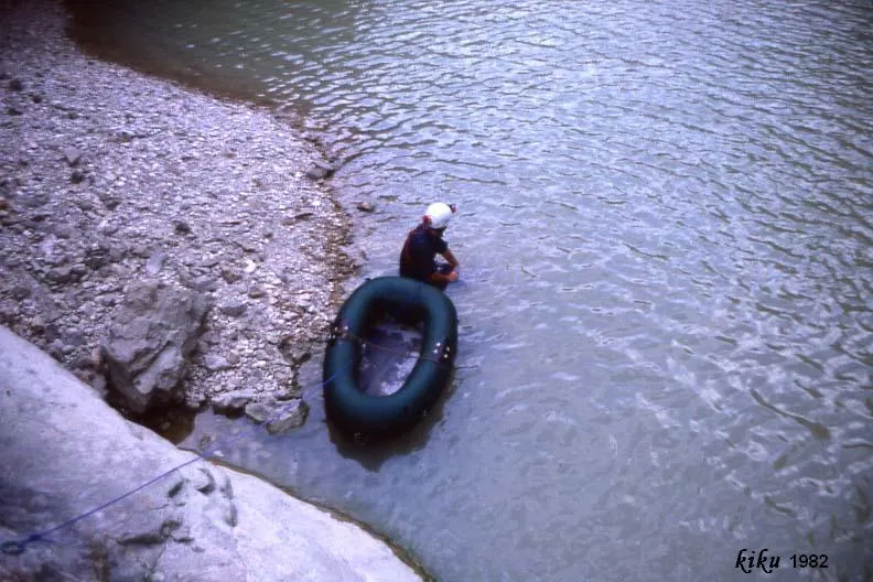
Photos
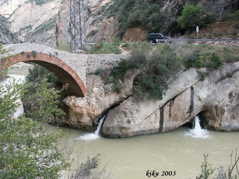
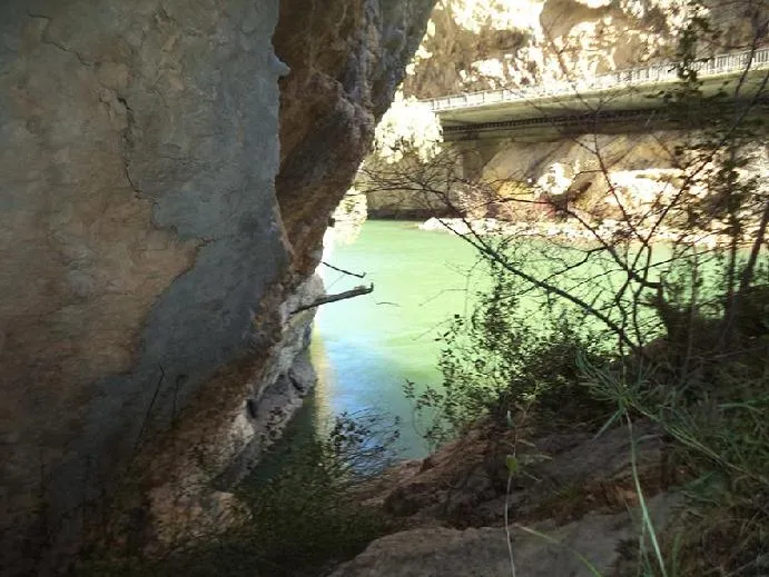
Espeleoindex · CC BY-NC 4.0, https://creativecommons.org/licenses/by-nc/4.0/ · Image © its author.
Description
Morphology
The lower entrance leads to an ascending passage running south-west, with some narrow sections; at its end there is a small pit and an upper gallery of 6 metres. After a sharp bend we find a descending gallery running east through which one reaches a low gallery that leads to the second entrance of the cave, located 6 metres above the river level.
History
The first exploration was carried out by the GE Badalona on 22 December 1964. On 11 May 1965 the ERE of the CEC explored a small ascending upper gallery.
User Comments (0)
No comments yet.
Be the first to share your experience!
Registered Explorations (0)
No explorations registered yet.
Register your visit to this cave!
Bibliography
- Borràs, J; Miñarro, J.M.; Talavera, F.(1979).-”el Pallars Jussà”. Catàleg Espeleològic de Catalunya (Vol.3). ed. Políglota. Barcelona.
- Carreras, A. (1965).-”El Montsec Subterráneo”. Cavernas (5):150-156. GE Badalona.
- Escolà i Boada, Oleguer (1970).- “Catálogo Espeleológico del Montsec”. Espeleòleg (11-12):453-541. ERE del CEC. Barcelona.
- Rubinat Aumedes, Francesc (1982).-“Serra del Montsec” Gours (9):114-127. GEFOMA. Barcelona.
- Valles, Jordi de (2008).-”Alta Ribagorça, Pallars Jussà, Pallars Sobirà, Val d'Aran”. Catàleg Espeleològic de Catalunya (Vol.1):1-319. FCE/EC Gràcia.
- Vega, Josep de la (1981).-“Aplec de documents arqueològics de les coves del Montsec i llur projecció a les comarques i serres properes”. Mediterrània (11-12):1-359.
- Fotografies facilitades per Josep M. Molgó (GELL).
- Situació i coordenades facilitades per Joan Pallise.
Nearby caves
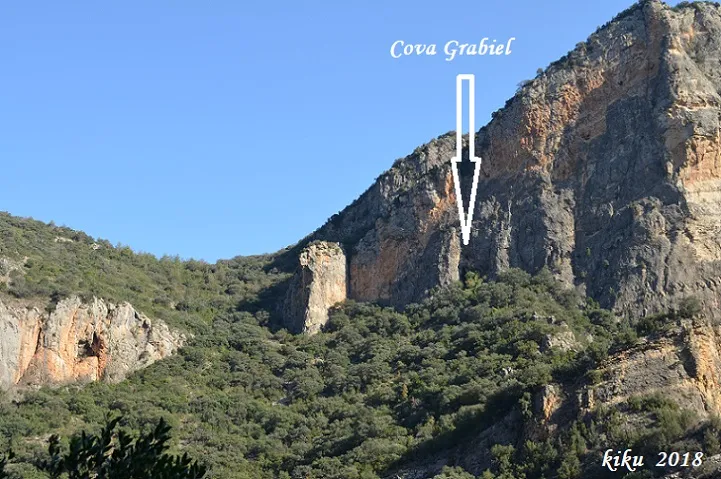


Source: Espeleoindex (espeleoindex.com), modified. CC BY-NC 4.0, https://creativecommons.org/licenses/by-nc/4.0/