
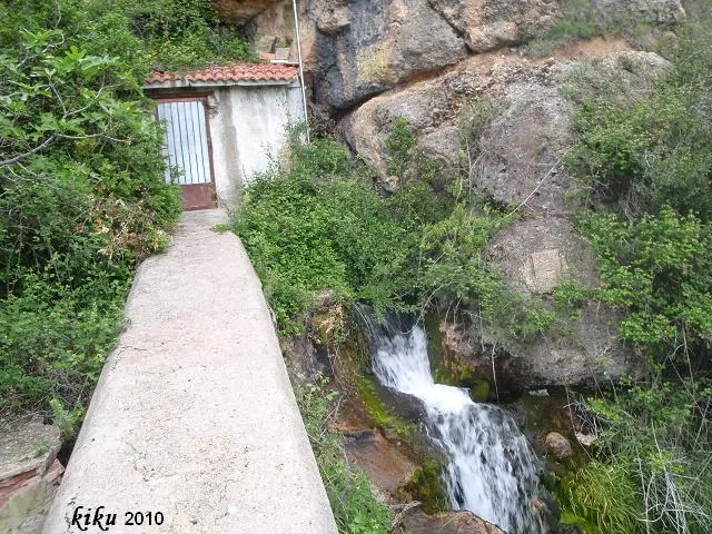
Cova de la Font del Molí
A cave with 195 metres of passage in the serra de Lleràs (Tremp), N of Gurp, with a route that includes a submerged section of 60 metres and a total elevation change of 30 metres (-10/+20).
EspeleoWorld
Cova de la Font del Molí
A cave with 195 metres of passage in the serra de Lleràs (Tremp), N of Gurp, with a route that includes a submerged section of 60 metres and a total elevation change of 30 metres (-10/+20).
Tremp · Pallars Jussà
Length: 195 m · Depth: 30 m
Updated record
https://espeleoworld.com/en/c/cova-de-la-font-del-moli
Information can change. Always verify coordinates, access, weather, and cave conditions before setting out.
A cave with 195 metres of passage in the serra de Lleràs (Tremp), N of Gurp, with a route that includes a submerged section of 60 metres and a total elevation change of 30 metres (-10/+20).
Topographic
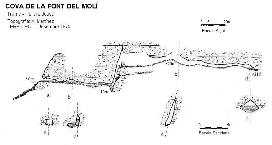

Espeleoindex · CC BY-NC 4.0, https://creativecommons.org/licenses/by-nc/4.0/ · Image © its author.
Photos

Espeleoindex · CC BY-NC 4.0, https://creativecommons.org/licenses/by-nc/4.0/ · Image © its author.
Description
Morphology
The entrance is 3.5 metres wide by 1.5 metres high, and currently (2010) it is covered by a masonry wall and closed with a door in order to preserve the aquifer that supplies the village of Gurp and the military academy of Talarn. Once past the entrance one continues along a more or less cylindrical gallery that descends progressively until it becomes totally submerged. The submerged section has a length of 60 metres, the last stretch being somewhat dangerous due to the presence of unstable blocks that form narrow passages. The total elevation change is 30 metres (-10/+20).
Hydrology
Two hundred metres from the cave and some 40 metres of elevation change below, in the torrent bed, we find a constant but impenetrable spring known as the FONT DEL MOLÍ.
Progression
Once past the entrance one continues along a more or less cylindrical gallery that descends progressively until it becomes totally submerged, making the use of diving equipment essential in order to continue the exploration. Once the narrow passages have been passed and after ascending a little more than 10 metres, one reaches a dry gallery that in the first metres ascends slightly, to descend again through a series of alternating ramps where small pools form until the last one sumps completely.
History
The first known exploration of the cave was carried out by the SIE del CEA on 9 September 1974, which reached the first sump. The following year the ERE del CEC passed the sump and explored an air gallery that ends in a new sump; this exploration was carried out on 14 December 1975. During the eighties, the military renewed the water pipes and built the wall at the entrance of the cave.
User Comments (0)
No comments yet.
Be the first to share your experience!
Registered Explorations (0)
No explorations registered yet.
Register your visit to this cave!
Bibliography
- Garriga,J;Martínez,A;Romero,M.(1977).-”La cova de la Font del Molí i les seves relacions hidrogeològiques” Espeleòleg (25):333-344. ERE-CE Catalunya. Barcelona.
- Victoria,J.M.;Iñigo,G;Rovira,J.(1974).-”Karstificación en los conglomerados del margen derecho de la Conca de Tremp(Lérida).” Espeleosie (16):71-120. SIE-CE Àliga. Barcelona.
Nearby caves
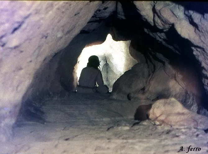
Forat del Toscà
0.0 km · S
Tremp (Pallars Jussà)
1 topo.5 photos
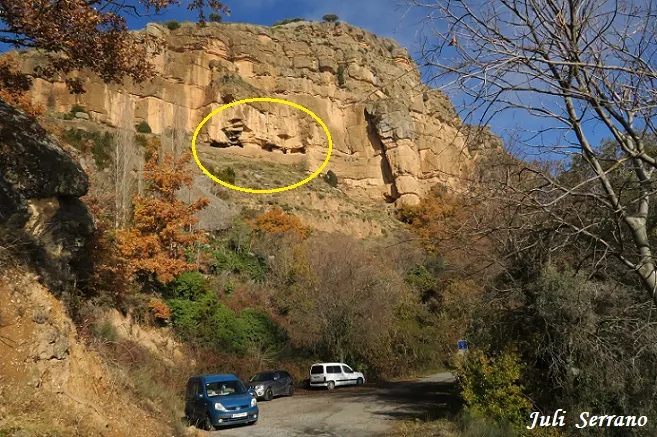
Espluga Nº10 dels Corrals de Gurp
0.5 km · SW
Tremp (Pallars Jussà)
1 topo.8 photos
Espluga Nº9 dels Corrals de Gurp
0.6 km · SW
Tremp (Pallars Jussà)
1 topo.7 photos
Espluga Nº8 dels Corrals de Gurp
0.7 km · SW
Tremp (Pallars Jussà)
1 topo.6 photos
Source: Espeleoindex (espeleoindex.com), modified. CC BY-NC 4.0, https://creativecommons.org/licenses/by-nc/4.0/