
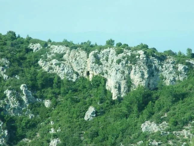
Cova de la Duna
Small cave in l'Ordal, Gelida, 2 metres long with a small 3.70-metre-deep shaft.
EspeleoWorld
Cova de la Duna
Small cave in l'Ordal, Gelida, 2 metres long with a small 3.70-metre-deep shaft.
Gelida · Alt Penedès
Length: 6 m · Depth: 3 m
Updated record
https://espeleoworld.com/en/c/cova-de-la-duna
Information can change. Always verify coordinates, access, weather, and cave conditions before setting out.
Small cave in l'Ordal, Gelida, 2 metres long with a small 3.70-metre-deep shaft.
Topographic
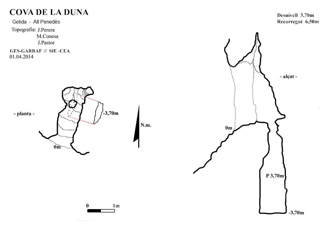
Espeleoindex · CC BY-NC 4.0, https://creativecommons.org/licenses/by-nc/4.0/ · Image © its author.
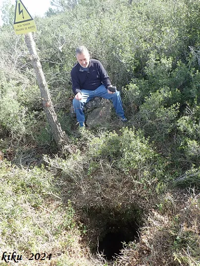
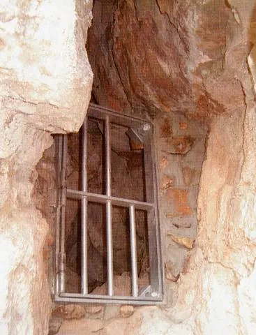
Photos
Espeleoindex · CC BY-NC 4.0, https://creativecommons.org/licenses/by-nc/4.0/ · Image © its author.
Description
Morphology
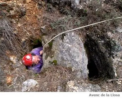
It is a small cave 2 metres long, where on the floor we find a small shaft 3.70 metres deep. The cave has a total length of 6.50 metres and a vertical drop of 3.70 metres.
History
Explored and surveyed on 1 April 2014 by Montse Conesa, Josep Pastor, Duna and Jordi Perera of the caving group “Espeleodijous”.
User Comments (0)
No comments yet.
Be the first to share your experience!
Registered Explorations (0)
No explorations registered yet.
Register your visit to this cave!
Bibliography
- Dades facilitades per Jordi Perera, totes les dades, coordenades, topografia i fotografies, han estat extretes del blog (espeleodijous.cat) post del dia 1-4-2014.
Nearby caves


Source: Espeleoindex (espeleoindex.com), modified. CC BY-NC 4.0, https://creativecommons.org/licenses/by-nc/4.0/