
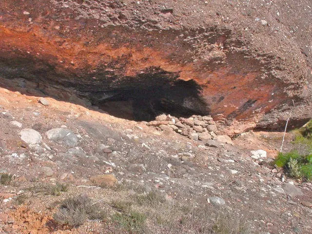
Cova de la Dona Morta
Small cave in Matadepera, in Sant Llorenç de Munt, known to hikers since distant times.
EspeleoWorld
Cova de la Dona Morta
Small cave in Matadepera, in Sant Llorenç de Munt, known to hikers since distant times.
Matadepera · Vallès Occidental
Length: 5 m
Updated record
https://espeleoworld.com/en/c/cova-de-la-dona-morta-matadepera
Information can change. Always verify coordinates, access, weather, and cave conditions before setting out.
Small cave in Matadepera, in Sant Llorenç de Munt, known to hikers since distant times.
Photos

Espeleoindex · CC BY-NC 4.0, https://creativecommons.org/licenses/by-nc/4.0/ · Image © its author.
Description
Morphology
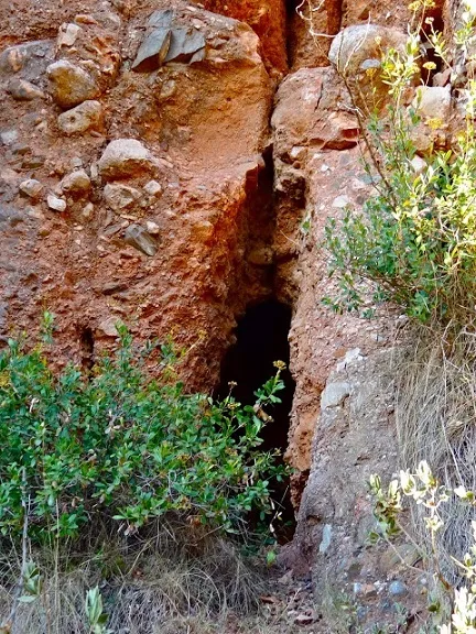
An elongated rock shelter excavated in a stratum of sandstones intercalated in the conglomerates. At one of the ends it presents a little more height and one can enter a meagre concavity a few metres deep.
No topography is available, so the exact measurements are unknown.
History
Known since distant times by the hikers of Sant Llorenç de Munt.
User Comments (0)
No comments yet.
Be the first to share your experience!
Registered Explorations (0)
No explorations registered yet.
Register your visit to this cave!
Bibliography
- GES-CMB (1974).- Catálogo espeleológico de la provincia de Barcelona. 198 pp. Club Montañés Barcelonés /Diputación Provincial de Barcelona.
- Valles, Jordi de (2016).- Catàleg Espeleològic de Catalunya. Vol. 5: 560 pp. EC Gràcia / Fed. Catalana Espeleologia. Barcelona.
- Fotografia extreta del blog: trailsantllorenc.blogspot (de Lluís R. Hernández, Matadepera)
Nearby caves
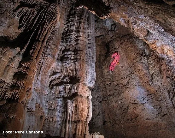
Avenc de la Codoleda
0.1 km · SE
Matadepera (Vallès Occidental)
3 topo.12 photos
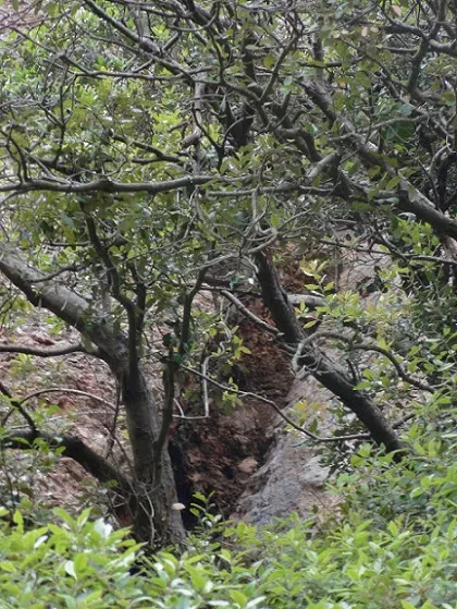
Cova de la Codoleda
0.1 km · SE
Matadepera (Vallès Occidental)
1 photos
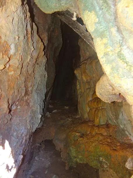
Cova de les Bardisses
0.4 km · W
Matadepera (Vallès Occidental)
1 topo.1 photos
Cova de la Cinta
0.5 km · W
Matadepera (Vallès Occidental)
1 topo.1 photos
Source: Espeleoindex (espeleoindex.com), modified. CC BY-NC 4.0, https://creativecommons.org/licenses/by-nc/4.0/