
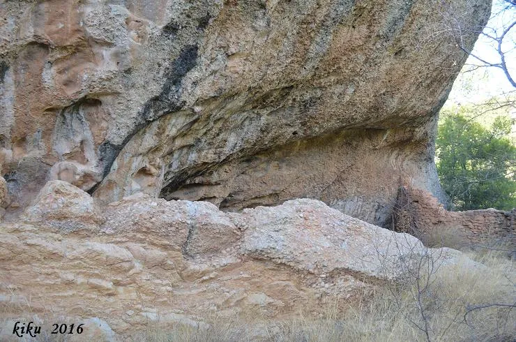
Cova de l'Homdedéu
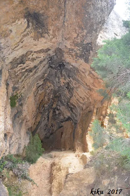
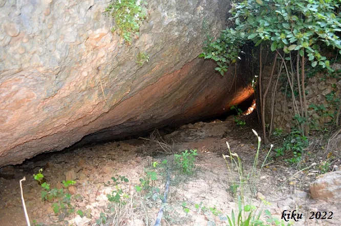
Balma de 6 metres de fons a Cabacés (Montsant).
EspeleoWorld
Cova de l'Homdedéu
Balma de 6 metres de fons a Cabacés (Montsant).
Cabacés · Priorat
Length: 6 m
Updated record
https://espeleoworld.com/en/c/cova-de-l-homdedeu
Information can change. Always verify coordinates, access, weather, and cave conditions before setting out.
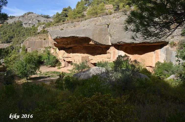
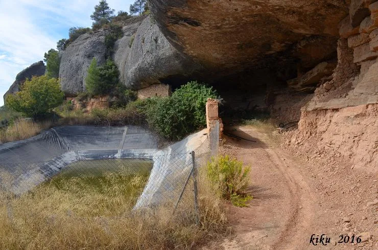
A 6-metre-deep rock shelter in Cabacés (Montsant), 15 metres wide and 6.20 metres high, known since time immemorial.
Topographic
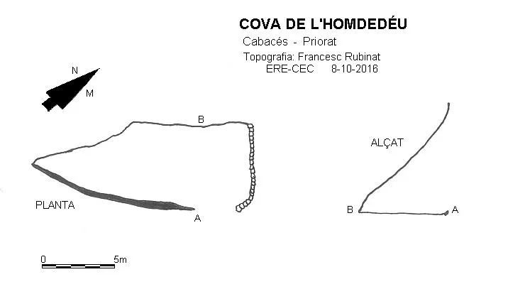
Espeleoindex · CC BY-NC 4.0, https://creativecommons.org/licenses/by-nc/4.0/ · Image © its author.
Photos
Espeleoindex · CC BY-NC 4.0, https://creativecommons.org/licenses/by-nc/4.0/ · Image © its author.
Description
Morphology
Small rock shelter 15 metres wide, 6 metres deep and 6.20 metres high; on the NE side it is closed off by a dry-stone wall of half height.
History
Known since time immemorial. The surname Homdedéu in Cabacés is already documented in 1682.
User Comments (0)
No comments yet.
Be the first to share your experience!
Registered Explorations (0)
No explorations registered yet.
Register your visit to this cave!
Bibliography
- Borrás, J.; Miñarro, J.M.; Talavera, F.(1984).-”el baix camp, el priorat i la ribera d'ebre”. Catàleg Espeleològic de Catalunya (vol.7): 176. Ed. Políglota. Barcelona.
Nearby caves


Source: Espeleoindex (espeleoindex.com), modified. CC BY-NC 4.0, https://creativecommons.org/licenses/by-nc/4.0/