
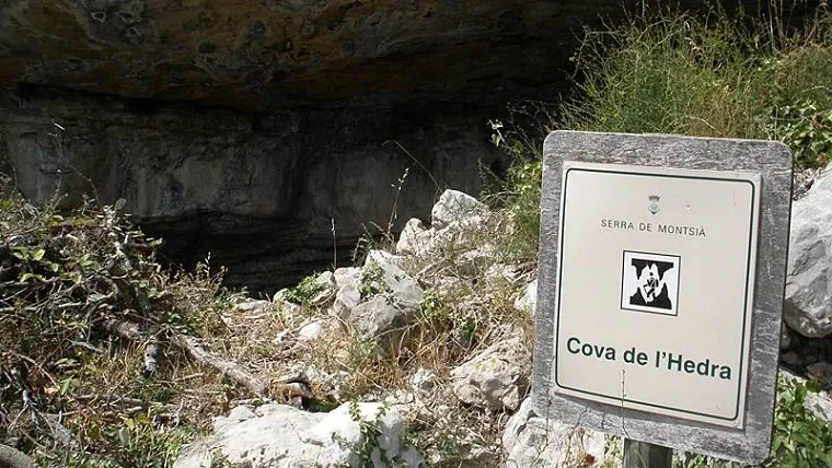
Cova de l'Hedra
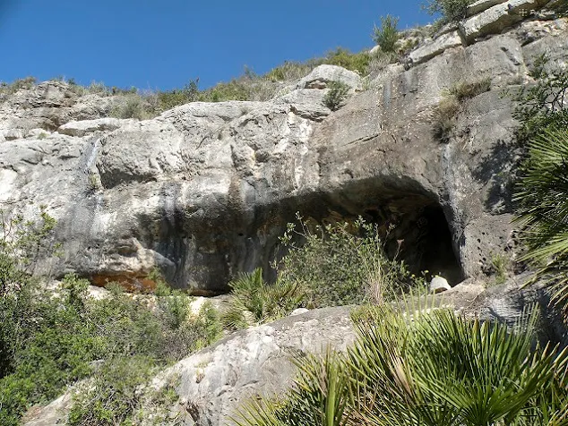
A long, shallow shelter of little importance in Montsià, known since ancient times and mentioned on maps of the area.
EspeleoWorld
Cova de l'Hedra
A long, shallow shelter of little importance in Montsià, known since ancient times and mentioned on maps of the area.
Alcanar · Montsià
Length: 5 m
Updated record
https://espeleoworld.com/en/c/cova-de-l-hedra
Information can change. Always verify coordinates, access, weather, and cave conditions before setting out.
A long, shallow shelter of little importance in Montsià, known since ancient times and mentioned on maps of the area.
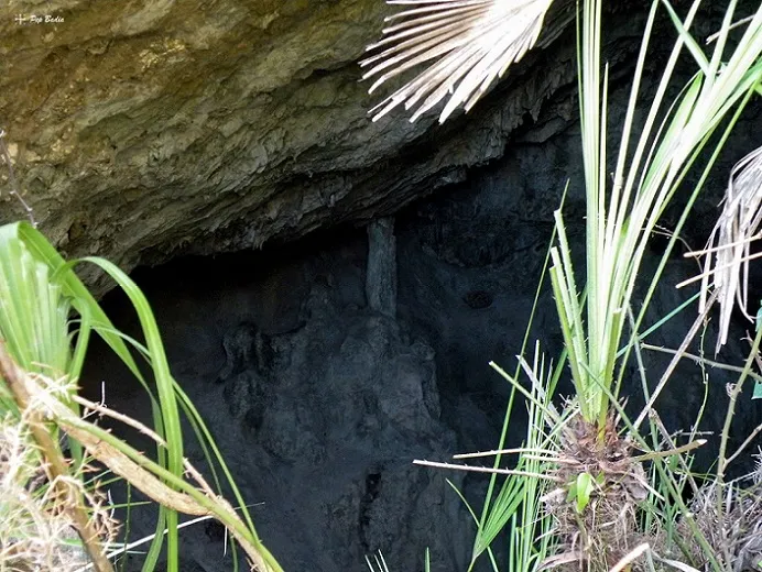
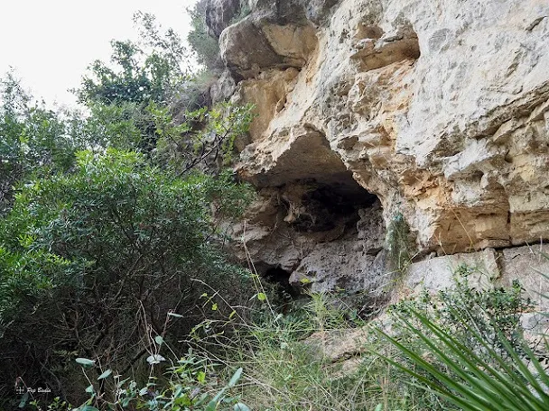
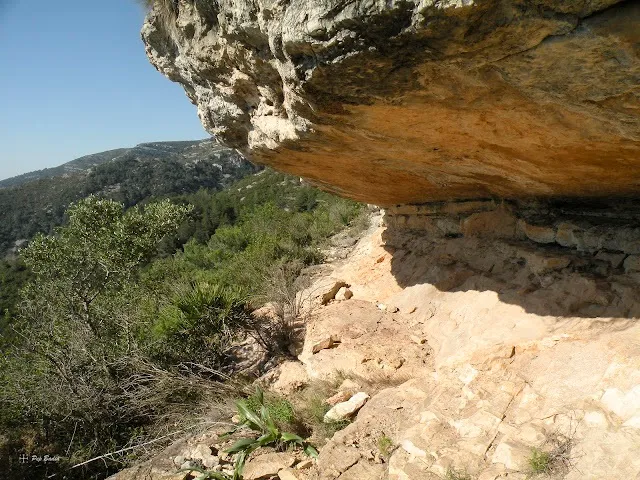
Photos
Espeleoindex · CC BY-NC 4.0, https://creativecommons.org/licenses/by-nc/4.0/ · Image © its author.
Description
Morphology
Long, shallow shelter.
Progression
You continue climbing this slope of the hill until you reach the top. Now the trail, perpendicular to the mountain range, levels out and climbs along the crest. On the left is the great gully of the Bassiol and on the right the racó de les Ferreries, where in the distance you can make out the remains of the Mas del Llop or the caseta de Paletes. In a gentle climb you will gradually gain height. The final stretch climbs more steadily until you reach the junction with the trail that goes to the font del Bassiol, on the left, or to the cova de l'Hedra, on the right.
Other details
No survey is available. The speleometric data are estimates.
History
Known since ancient times. Well known to hikers of the Montsià and mentioned on various maps of the area.
User Comments (0)
No comments yet.
Be the first to share your experience!
Registered Explorations (0)
No explorations registered yet.
Register your visit to this cave!
Bibliography
- Dades de situació extretes del blog: senderes.blogspot (de Pep Badia, la Ràpita). Apunt del 25-2-2017.
- Fotografies extretes del blog: franclips.blogspot. Apunt del 20-8-2012
Nearby caves

Source: Espeleoindex (espeleoindex.com), modified. CC BY-NC 4.0, https://creativecommons.org/licenses/by-nc/4.0/