
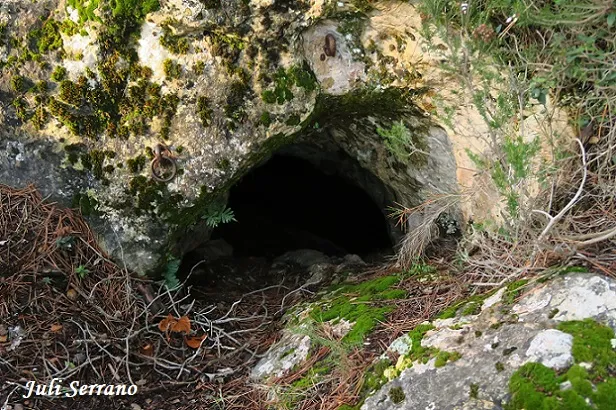
Cova-avenc del Mas d'en Toni
Petit avenc de 7 m. de fondària i 58 m. de recorregut a la zona de Farena (Muntanyes de Prades)
EspeleoWorld
Cova-avenc del Mas d'en Toni
Petit avenc de 7 m. de fondària i 58 m. de recorregut a la zona de Farena (Muntanyes de Prades)
Mont-ral · Alt Camp
Length: 58 m · Depth: 7 m
Updated record
https://espeleoworld.com/en/c/cova-avenc-del-mas-d-en-toni
Information can change. Always verify coordinates, access, weather, and cave conditions before setting out.
Small pit 7 m deep and 58 m long in the Farena area, in the Muntanyes de Prades.
Topographic
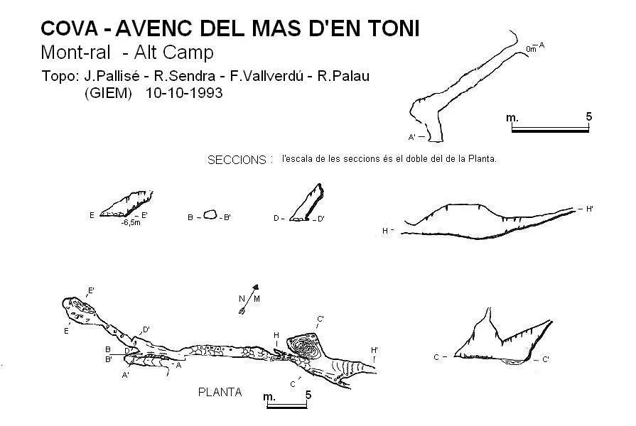
Espeleoindex · CC BY-NC 4.0, https://creativecommons.org/licenses/by-nc/4.0/ · Image © its author.
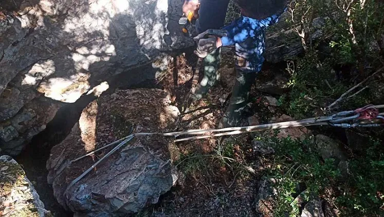
Photos
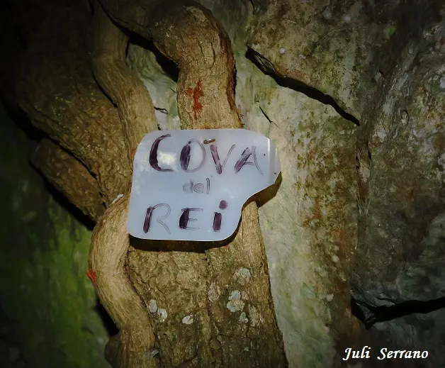
Espeleoindex · CC BY-NC 4.0, https://creativecommons.org/licenses/by-nc/4.0/ · Image © its author.
Description
Morphology
The small entrance gallery, on a slope, communicates by means of a step with an elongated gallery. To the left it is dry and ends after a few metres. To the right you reach the same gallery that forms three chambers, aligned and interconnected by small holes at the base. The last chamber is the largest and ends in a laminator where the ceiling gradually lowers until it becomes impenetrable.
Speleothems
In all this sector it is worth highlighting a very important lithogenesis, with a large number of speleothems, both of parietal and floor type.
History
Discovered and explored around the year 1920, possibly by hikers from Reus. J. Iglésies makes a careful description of it in the year 1927.
Although quite visited over the years, it is not until 1993 that members of the GIEM of the Club Excursionista Montblanc make the only survey that we know of.
User Comments (0)
No comments yet.
Be the first to share your experience!
Registered Explorations (0)
No explorations registered yet.
Register your visit to this cave!
Bibliography
- Borràs, J.; Miñarro,JM.; Talavera, F. (1978).- Catàleg Espeleològic de Catalunya. Vol. 2 (l'Alt Camp, la Conca de Barberà,el Baix Penedès i el Tarragonès):246 pp. Ed. Poliglota. Barcelona.
- GIEM (1994).- “Topo-GIEM”. Gatera (3): 24. GIEM – CE Montblanc.
- Iglésies, J. (1927).- “Catalogació de coves i avencs de la vall del riu Brugent”. Revista del Centre de Lectura de Reus (173): 212-226. Reus
- Actualització de fitxa el desembre de 2019. Coordenades, situació i Fotografies facilitades per Juli Serrano i Montse Roca (SIE-CEA).
Nearby caves

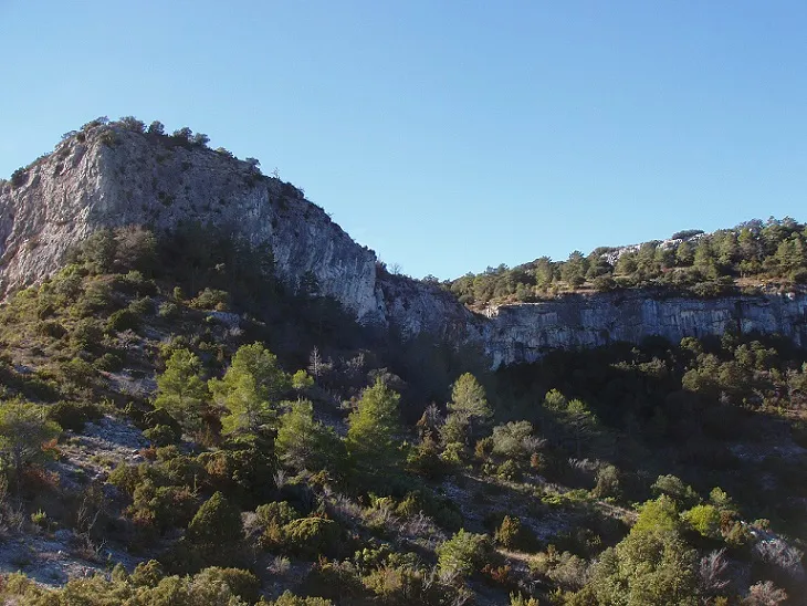


Source: Espeleoindex (espeleoindex.com), modified. CC BY-NC 4.0, https://creativecommons.org/licenses/by-nc/4.0/