
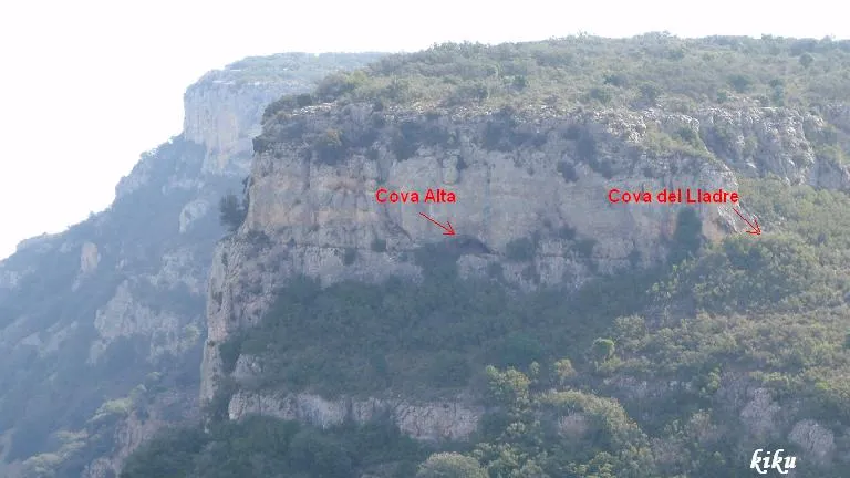
Cova Alta
Small cave with a 12-metre passage in the municipality of Les Avellanes i Santa Linya, in the Mont-roig mountain range.
EspeleoWorld
Cova Alta
Small cave with a 12-metre passage in the municipality of Les Avellanes i Santa Linya, in the Mont-roig mountain range.
Avellanes i Santa Linya, Les · Noguera
Length: 12 m · Depth: 1 m
Updated record
https://espeleoworld.com/en/c/cova-alta
Information can change. Always verify coordinates, access, weather, and cave conditions before setting out.
Small cave with a 12-metre passage in the municipality of Les Avellanes i Santa Linya, in the Mont-roig mountain range.
Topographic
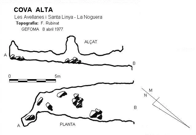

Espeleoindex · CC BY-NC 4.0, https://creativecommons.org/licenses/by-nc/4.0/ · Image © its author.
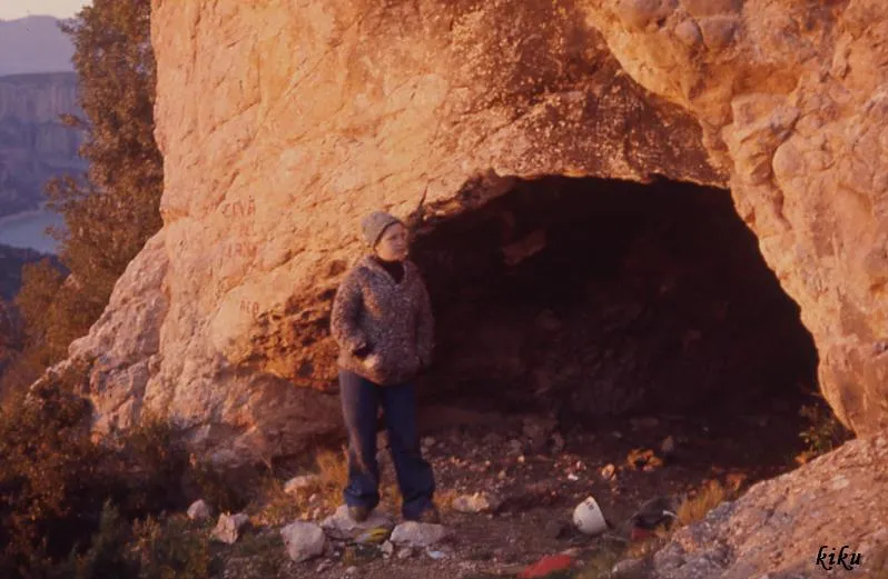
Photos

Espeleoindex · CC BY-NC 4.0, https://creativecommons.org/licenses/by-nc/4.0/ · Image © its author.
Description
Morphology
It is a 10-metre passage where at its final part we find a small crawl of 2 metres in length.
Other details
Very probably this cave is related to the neighbouring cova del Lladre.
History
Discovered and explored by GEFOMA on 8 April 1977.
User Comments (0)
No comments yet.
Be the first to share your experience!
Registered Explorations (0)
No explorations registered yet.
Register your visit to this cave!
Bibliography
Rubinat, F. (1977).-“Cova Alta”. GOURS (4):15-17. GEFOMA. Barcelona.
Nearby caves
Cova del Lladre
0.0 km · S
Avellanes i Santa Linya, Les (Noguera)
2 topo.5 photos
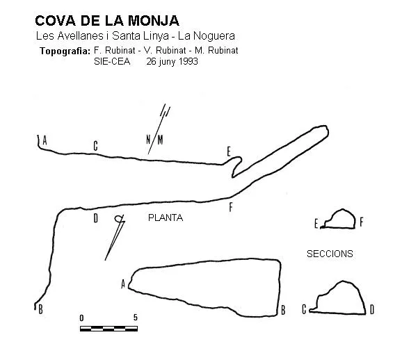
Cova de la Monja
0.3 km · W
Avellanes i Santa Linya, Les (Noguera)
1 topo.
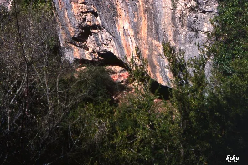
Cova del Mandril
0.3 km · E
Avellanes i Santa Linya, Les (Noguera)
1 topo.2 photos
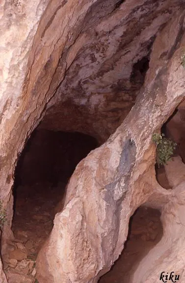
Cova del Llop
0.5 km · E
Avellanes i Santa Linya, Les (Noguera)
2 topo.4 photos
Source: Espeleoindex (espeleoindex.com), modified. CC BY-NC 4.0, https://creativecommons.org/licenses/by-nc/4.0/