
Cigalera Ea.2 d'Escala Alta
Avenc de 35 m. de fondària al municipi d'Alt Àneu
EspeleoWorld
Cigalera Ea.2 d'Escala Alta
Avenc de 35 m. de fondària al municipi d'Alt Àneu
Alt Àneu · Pallars Sobirà
Length: 70 m · Depth: 35 m
Updated record
https://espeleoworld.com/en/c/cigalera-ea-2-d-escala-alta
Information can change. Always verify coordinates, access, weather, and cave conditions before setting out.
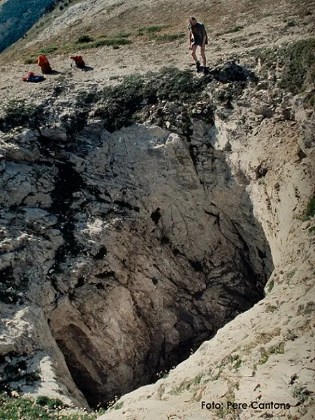
A 35 m deep pit in the municipality of Alt Àneu, with two entrances and shafts that join at 20 metres.
Topographic
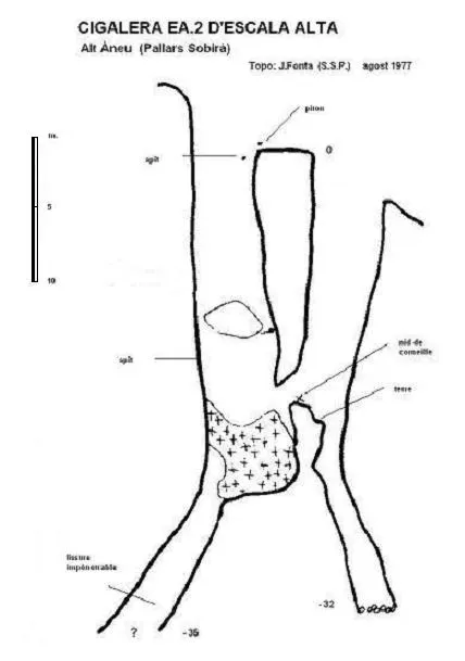

Espeleoindex · CC BY-NC 4.0, https://creativecommons.org/licenses/by-nc/4.0/ · Image © its author.
Description
Morphology
Two entrances, one higher and another some 5 metres lower, give way to respective shafts that join at a depth of 20 metres. On the opposite side of the junction of the two shafts, a narrow vertical passage closes at -32.
Progression
Below the upper shaft, an accumulation of snow and ice (summer 1977) allowed passage into a narrow fissure that becomes impassable at the -35 level.
History
Located and explored in August 1977 by members of the Société Spéléologique de Plantaurel.
User Comments (0)
No comments yet.
Be the first to share your experience!
Registered Explorations (0)
No explorations registered yet.
Register your visit to this cave!
Bibliography
Géraud, Ph. (1978).- “Reconnaissance spéléologique du Massif de la Roca Blanca (Province de Lérida – Espagne” L'Echo des Ténèbres (2): 4-6; SS Plantaurel
Nearby caves
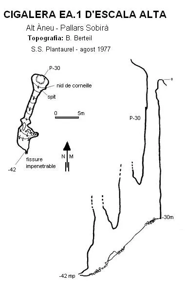
Cigalera Ea.1 d'Escala Alta
0.0 km · NW
Alt Àneu (Pallars Sobirà)
1 topo.
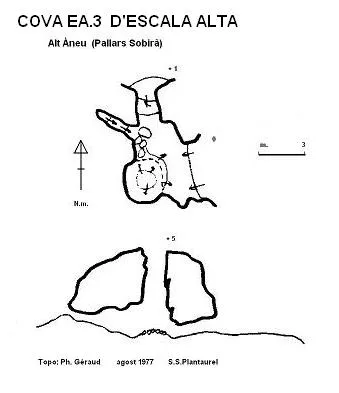
Cova Ea.3 d'Escala Alta
0.4 km · SE
Alt Àneu (Pallars Sobirà)
1 topo.
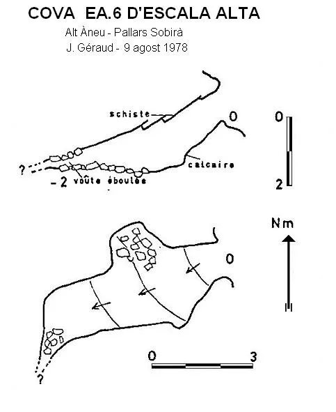
Cova Ea.6 d'Escala Alta
0.4 km · NW
Alt Àneu (Pallars Sobirà)
1 topo.
Cigalera de l'Obaga de Baleran
0.6 km · SE
Alt Àneu (Pallars Sobirà)
5 topo.12 photos
Source: Espeleoindex (espeleoindex.com), modified. CC BY-NC 4.0, https://creativecommons.org/licenses/by-nc/4.0/