
Canya de l'óssa
Cova de 34 metres de recorregut al riu Rialb (Coll de Nargó).
EspeleoWorld
Canya de l'óssa
Cova de 34 metres de recorregut al riu Rialb (Coll de Nargó).
Coll de Nargó · Alt Urgell
Length: 34 m · Depth: 5 m
Updated record
https://espeleoworld.com/en/c/canya-de-l-ossa
Information can change. Always verify coordinates, access, weather, and cave conditions before setting out.
A 34-metre-long cave on the Rialb river (Coll de Nargó).
Topographic
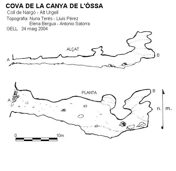

Espeleoindex · CC BY-NC 4.0, https://creativecommons.org/licenses/by-nc/4.0/ · Image © its author.
Description
Morphology
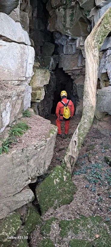
The cavity begins with a width of 4 x 1.5 metres in height, and continues horizontally until after 12 metres it becomes wider and taller. In the widest part there is a chimney that rises a couple of metres and is collapsed. At the back of the cavity there is also another chimney that rises about 5 metres without leading anywhere.
History
The first reference we have of this cavity is provided by the GELL, who explored it in 2004. At the entrance of the cave there is what looks like a stone wall; it is said to have been used as a hiding place during the Spanish Civil War.
User Comments (0)
No comments yet.
Be the first to share your experience!
Registered Explorations (0)
No explorations registered yet.
Register your visit to this cave!
Bibliography
- Satorra, Antonio; Pérez, Lluís.(2006).- “Riu Rialb (Alt Urgell)”. Grallera (6):85-89. GELL – CE Lleida.
Nearby caves
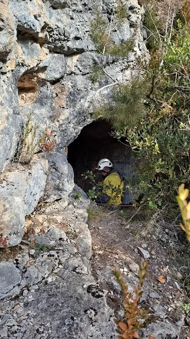
Avenc del Torrent Negre
0.5 km · S
Coll de Nargó (Alt Urgell)
2 topo.7 photos
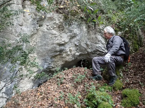
Cova dels Emboscats del Torrent Negre
0.5 km · S
Coll de Nargó (Alt Urgell)
1 topo.5 photos
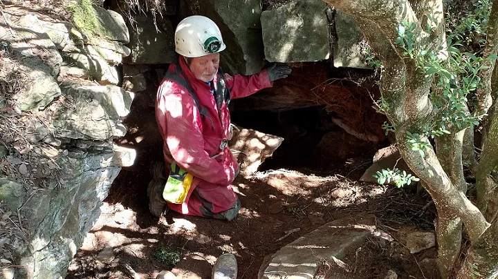
Forat Petit de Prat Sobirà
4.5 km · NE
Coll de Nargó (Alt Urgell)
2 topo.8 photos
Forat Gran de Prat Sobirà
4.5 km · NE
Coll de Nargó (Alt Urgell)
1 topo.5 photos
Source: Espeleoindex (espeleoindex.com), modified. CC BY-NC 4.0, https://creativecommons.org/licenses/by-nc/4.0/