
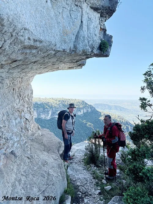
Cova dels Patacons
Gran Foradada al cingle de Cova Llonga a la Mussara (Vilaplana).
EspeleoWorld
Cova dels Patacons
Gran Foradada al cingle de Cova Llonga a la Mussara (Vilaplana).
Vilaplana · Baix Camp
Length: 10 m
Updated record
https://espeleoworld.com/en/c/cambra-megalitica-de-can-nadal
Information can change. Always verify coordinates, access, weather, and cave conditions before setting out.
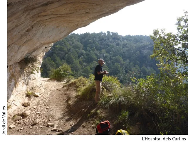
Gran Foradada in the cingle de Cova Llonga, in the Mussara (Vilaplana): a 10.7-metre tunnel that crosses the rocky spur.
Topographic
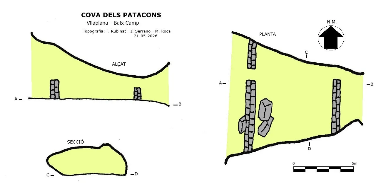
Espeleoindex · CC BY-NC 4.0, https://creativecommons.org/licenses/by-nc/4.0/ · Image © its author.
Photos
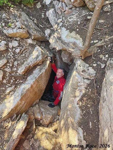
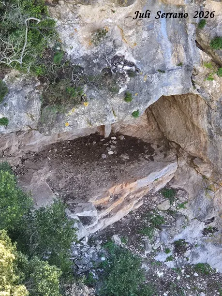
Espeleoindex · CC BY-NC 4.0, https://creativecommons.org/licenses/by-nc/4.0/ · Image © its author.
Description
Morphology
It is a fairly large tunnel that crosses the rocky spur forming a foradada 10.7 metres in length. At the two ends we find dry-stone walls half a metre wide and 1.5 m high for the front wall and 1 metre high for the back wall.
History
Known since long ago, since this long foradada at the final part coincided with a rock shelter where the terrace ended; the whole complex was known as Cova Llonga.
During the civil war the brothers Joan, David and Miquel Pàmies, known as els Patacons, took refuge in the cave. Years later relatives and descendants of these reclaimed the historical memory of those and the part corresponding to the foradada became known as cova dels Patacons; the fact of having equipped a spectacular via ferrata with this name that passes between the two caves has also contributed.
User Comments (0)
No comments yet.
Be the first to share your experience!
Registered Explorations (0)
No explorations registered yet.
Register your visit to this cave!
Bibliography
Amigó Anglès, Ramon.(1963).-Els topònims del terme municipal i del poble de la Mussara.pp123. Instituto de Estudios Tarraconenses 'Ramon Berenguer IV'.
Totes les dades, coordenades, topografia i fotografies han estat aportades per Montse Roca, Juli Serrano i Francesc Rubinat. Maig de 2026.
Nearby caves


Source: Espeleoindex (espeleoindex.com), modified. CC BY-NC 4.0, https://creativecommons.org/licenses/by-nc/4.0/