
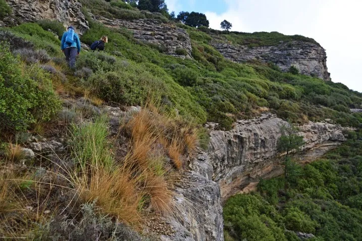
Bauma de la Corrala
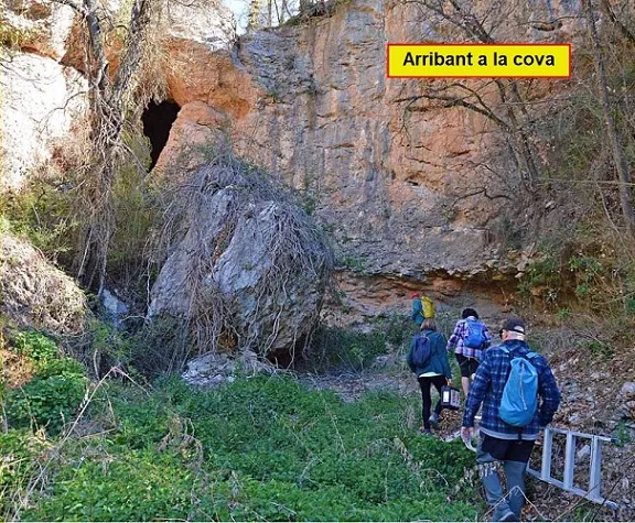
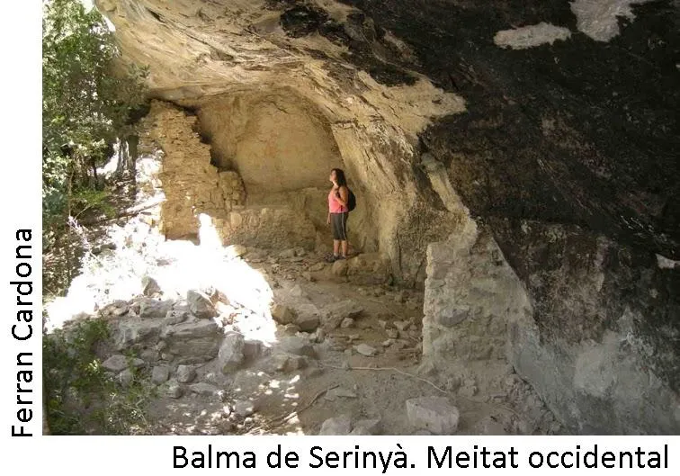
A lofty rock shelter beneath the ruins of the castle of Voltregà, in Lluçanès, 26 m long, 4.50 m deep and 4 m high.
EspeleoWorld
Bauma de la Corrala
A lofty rock shelter beneath the ruins of the castle of Voltregà, in Lluçanès, 26 m long, 4.50 m deep and 4 m high.
Masies de Voltregà, Les · Osona
Length: 4 m
Updated record
https://espeleoworld.com/en/c/bauma-de-la-corrala
Information can change. Always verify coordinates, access, weather, and cave conditions before setting out.
A lofty rock shelter beneath the ruins of the castle of Voltregà, in Lluçanès, 26 m long, 4.50 m deep and 4 m high.
Topographic
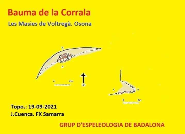
Espeleoindex · CC BY-NC 4.0, https://creativecommons.org/licenses/by-nc/4.0/ · Image © its author.
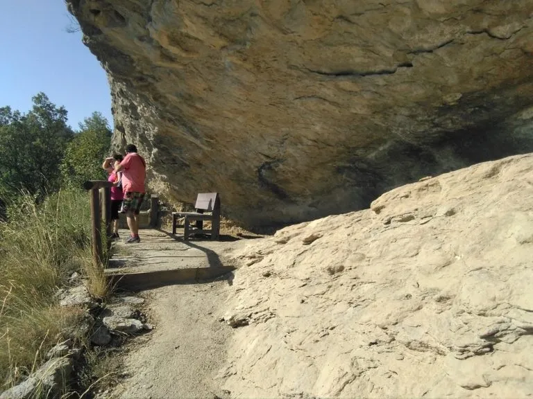
Photos
Espeleoindex · CC BY-NC 4.0, https://creativecommons.org/licenses/by-nc/4.0/ · Image © its author.
Description
Morphology
The rock shelter has a length of 26 m by 4.50 m deep and 4 m high.
Other details
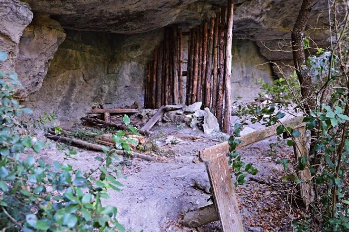
No remains of constructions can be seen, but it seems it was used as a cattle shed.
History
Known from remote times in the area.
User Comments (0)
No comments yet.
Be the first to share your experience!
Registered Explorations (0)
No explorations registered yet.
Register your visit to this cave!
Bibliography
- Totes les dades, topografia i fotografies han estat extretes del web: geb.cat (del Grup d'Espeleologia de Badalona). Apunt del 9-5-2022. Dades: Ana Ruiz, Josep Cuenca i Xavier Samarra (GEB)
Nearby caves


Source: Espeleoindex (espeleoindex.com), modified. CC BY-NC 4.0, https://creativecommons.org/licenses/by-nc/4.0/