

Balma Molosa
Grandiosa balma a la Quar (Berguedà)
EspeleoWorld
Balma Molosa
Grandiosa balma a la Quar (Berguedà)
Quar, La · Berguedà
Length: 32 m · Depth: 20 m
Updated record
https://espeleoworld.com/en/c/balma-molosa
Information can change. Always verify coordinates, access, weather, and cave conditions before setting out.
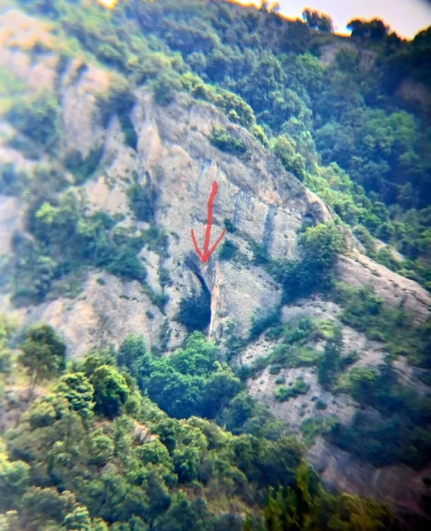
North-facing rock shelter in la Quar (Berguedà), the largest in Berguedà, with the rec dels Vinyals running through its interior.
Topographic

Espeleoindex · CC BY-NC 4.0, https://creativecommons.org/licenses/by-nc/4.0/ · Image © its author.
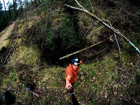
Photos
Espeleoindex · CC BY-NC 4.0, https://creativecommons.org/licenses/by-nc/4.0/ · Image © its author.
Description
Morphology
North-facing rock shelter, quite shady. The mouth is 98 m wide and reaches a depth of 32 m. The height, although variable, exceeds 40 m in some points. The sheltered surface can be estimated at 2,800 square metres. The route following the curvature of the back of the rock shelter is 138 m.
The floor of the rock shelter is uneven since it is conditioned by the morphology of the entrenched meander drawn by the rec dels Vinyals. Also, and for this reason, there is a strong difference in level between the ends of the rock shelter and the central sector through which the torrent flows. This difference in level is 20 m in relation to the western end.
We find accumulations of large blocks, especially in the central sector.
Hydrology
Through its interior flows the rec dels Vinyals, describing a marked 180 degree meander. The rec, which is very entrenched in the terrain, enters the cavity coming from a small gorge and hits against the wall at the back of the rock shelter, which it follows for a few metres before turning and exiting, thus creating a very deep groove.
History
The name of the rock shelter appears labelled on the Editorial Alpina map “Catllaràs-Picancel”. It also appears labelled on the ICC map, although it places the rock shelter further west than the place where it really is.
Despite this, until the visit of members of the ECMB and the GEB in May 2021, the rock shelter had gone unnoticed by speleologists, not appearing in any speleological catalogue despite its large dimensions, undoubtedly the largest rock shelter in Berguedà and one of the largest in the Catalan Pyrenees.
User Comments (0)
No comments yet.
Be the first to share your experience!
Registered Explorations (0)
No explorations registered yet.
Register your visit to this cave!
Bibliography
- Totes les dades, topografia i fotografies han estat extretes del web: geb.cat (del Grup d'Espeleologia de Badalona). Apunt del 31-5-2021. Dades: Ferran Cardona (ECMB), Josep Cuenca i Xavier Samarra (GEB).
Nearby caves



Source: Espeleoindex (espeleoindex.com), modified. CC BY-NC 4.0, https://creativecommons.org/licenses/by-nc/4.0/