

Balma de les Heures
Balma murada al municipi de la Quar (Berguedà)
EspeleoWorld
Balma de les Heures
Balma murada al municipi de la Quar (Berguedà)
Quar, La · Berguedà
Length: 12 m
Updated record
https://espeleoworld.com/en/c/balma-de-les-heures
Information can change. Always verify coordinates, access, weather, and cave conditions before setting out.
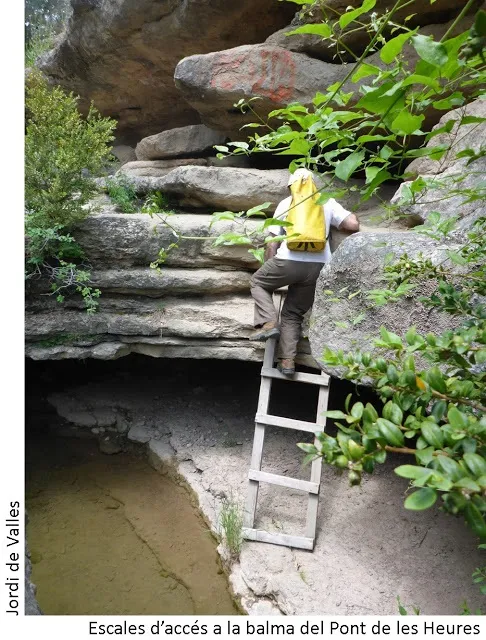
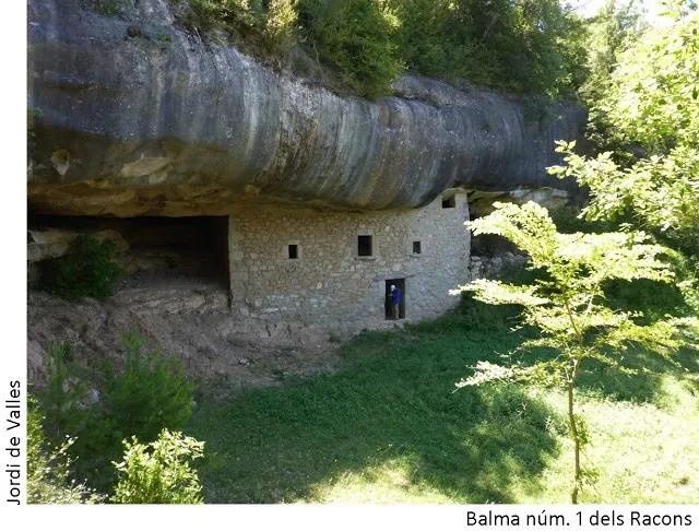
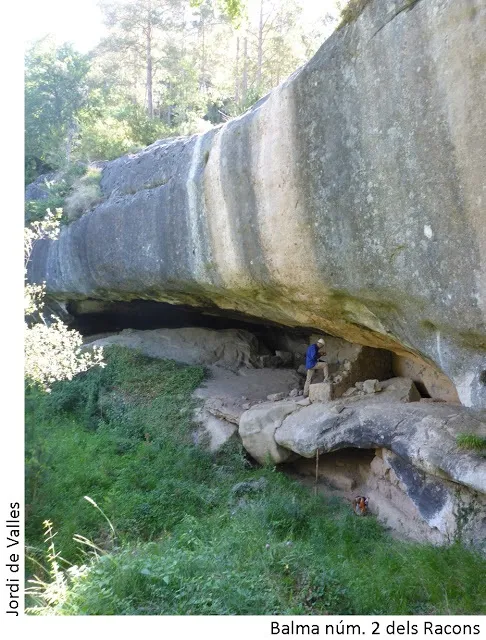
Walled rock shelter in the municipality of la Quar (Berguedà), about 50 metres wide and 5 metres high on average, known since time immemorial.
Topographic

Espeleoindex · CC BY-NC 4.0, https://creativecommons.org/licenses/by-nc/4.0/ · Image © its author.
Photos
Espeleoindex · CC BY-NC 4.0, https://creativecommons.org/licenses/by-nc/4.0/ · Image © its author.
Description
Morphology
The rock shelter is about 50 metres wide and has an average height of 5 metres. Most of it is enclosed by a wall that closes off a fairly flat space. The E side is occupied by blocks.
Hydrology
On the E side there is a small pool that collects the water dripping from the roof.
History
Known since time immemorial.
User Comments (0)
No comments yet.
Be the first to share your experience!
Registered Explorations (0)
No explorations registered yet.
Register your visit to this cave!
Bibliography
- Totes les dades, topografia i fotografies han estat extretes del blog: cavitatsdecatalunya.blogspot (de Jordi de Valles) . Apunt del 10-9-2017.
Nearby caves


Source: Espeleoindex (espeleoindex.com), modified. CC BY-NC 4.0, https://creativecommons.org/licenses/by-nc/4.0/