
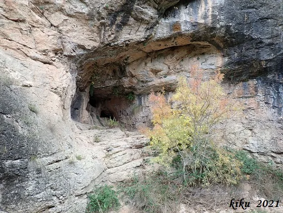
Balma dels Lladres
Balma a la riera de Mediona
EspeleoWorld
Balma dels Lladres
Balma a la riera de Mediona
Mediona · Alt Penedès
Length: 9 m · Depth: 4 m
Updated record
https://espeleoworld.com/en/c/balma-dels-lladres
Information can change. Always verify coordinates, access, weather, and cave conditions before setting out.
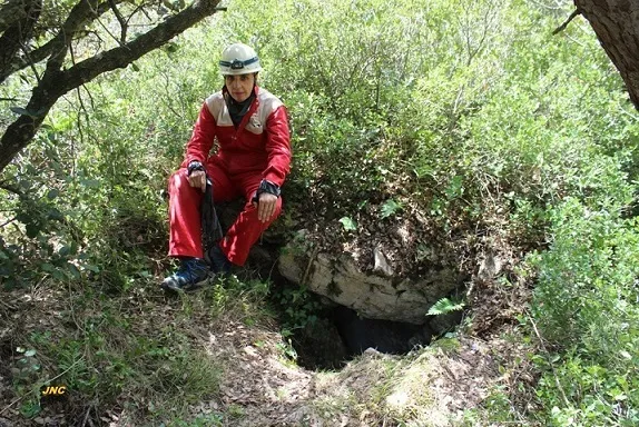
A 9-metre-deep rock shelter with +4.60 metres of elevation gain on the Mediona stream, known since olden times and in an area frequented by climbers.
Topographic
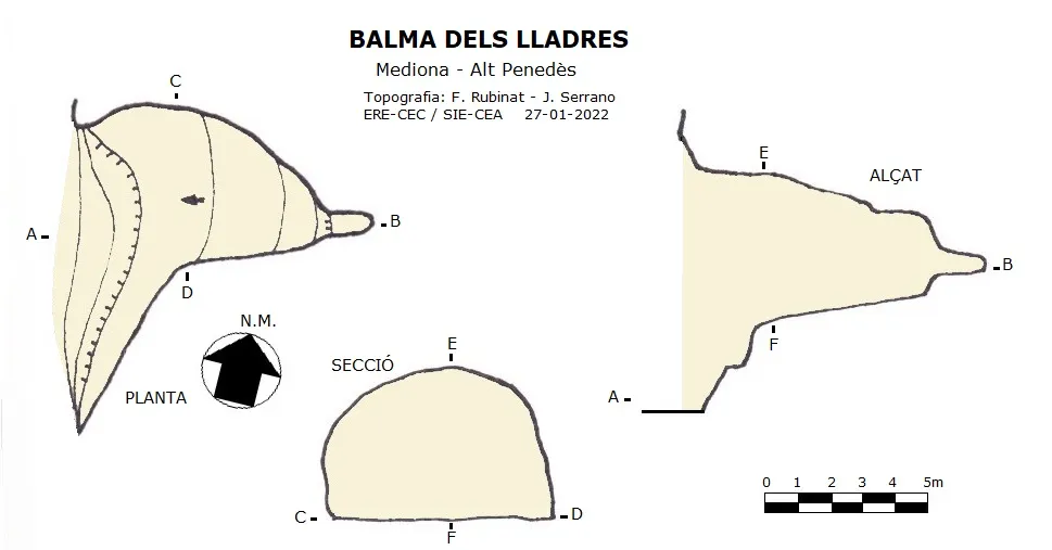

Espeleoindex · CC BY-NC 4.0, https://creativecommons.org/licenses/by-nc/4.0/ · Image © its author.
Photos

Espeleoindex · CC BY-NC 4.0, https://creativecommons.org/licenses/by-nc/4.0/ · Image © its author.
Description
Morphology
A rock shelter 9 metres deep and +4.60 metres of elevation gain, with no further interest.
Hydrology
In times when the stream is in flood it cannot be accessed, since the stream passes at the foot of the rock shelter.
History
Known since olden times and located in an area frequented by climbers.
User Comments (0)
No comments yet.
Be the first to share your experience!
Registered Explorations (0)
No explorations registered yet.
Register your visit to this cave!
Bibliography
- Dades, coordenades, topografia i fotografies facilitades per Juli Serrano (SIE-CEA) i Francesc Rubinat (ERE-CEC), gener de 2022.
Nearby caves
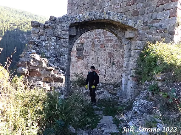
Cova del Castell
0.4 km · E
Mediona (Alt Penedès)
1 topo.5 photos

Cova del Torrent de Can Verdeguer
0.6 km · S
Mediona (Alt Penedès)
2 topo.3 photos
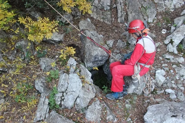
Avenc Nº0 de Can Verdeguer
0.6 km · S
Mediona (Alt Penedès)
2 topo.3 photos
Avenc Nº6 de Can Verdeguer
0.7 km · S
Mediona (Alt Penedès)
2 topo.3 photos
Source: Espeleoindex (espeleoindex.com), modified. CC BY-NC 4.0, https://creativecommons.org/licenses/by-nc/4.0/