
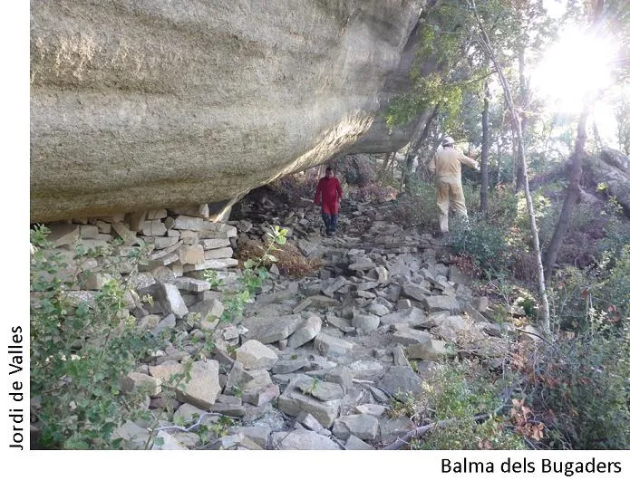
Balma dels Bugaders
A rock shelter in Tavertet, known since time immemorial and listed under number 8063.
EspeleoWorld
Balma dels Bugaders
A rock shelter in Tavertet, known since time immemorial and listed under number 8063.
Tavertet · Osona
Length: 5 m
Updated record
https://espeleoworld.com/en/c/balma-dels-bugaders
Information can change. Always verify coordinates, access, weather, and cave conditions before setting out.
A rock shelter in Tavertet, known since time immemorial and listed under number 8063.
Topographic
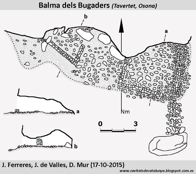
Espeleoindex · CC BY-NC 4.0, https://creativecommons.org/licenses/by-nc/4.0/ · Image © its author.
Photos
Espeleoindex · CC BY-NC 4.0, https://creativecommons.org/licenses/by-nc/4.0/ · Image © its author.
Description
Morphology
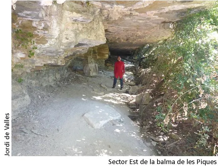
Rock shelter 15 metres wide, 5 metres deep and an average height of around 1.5 metres (some 3 metres at the E end).
Other details
The floor is occupied almost entirely by the remains of the old walls; the type of construction corresponded to the 12th century, today difficult to recognise. On the W side, there is a small more modern construction.
History
Known since time immemorial.
It appears in the Inventari del Patrimoni Arqueològic de Catalunya under number 8063.
User Comments (0)
No comments yet.
Be the first to share your experience!
Registered Explorations (0)
No explorations registered yet.
Register your visit to this cave!
Bibliography
- Parès, Quirze, (1985).- La despoblació rural i les masies del Collsacabra
- Serra, A. (1996).- "Evolució tipològica del mas a Tavertet (s. X-XV) (Resultats de les campanyes de prospecció)" Acta hist. et arch. Mediaevalia (16-17):245-265
- Borbonet, A.; Sanglas, J. (1999).- Tavertet: El seu terme i els seus noms de llocs pp. 107-113
- Sevilla, R. (2004).- "Balmes amagades del terme de Tavertet" Els Cingles de Collsacabra (51):22-24
- Valles, J. de (2010).-”Alt Empordà; Baix Empordà; Gironès; Osona; Pla de l'Estany; Selva”. Catàleg Espeleològic de Catalunya (Vol. 4):1-397. EC Gràcia/FCE.
- Coordenades, topografia, fotos i dades, extretes del Blog de Jordi de Valles (cavitatsdecatalunya.blogspot.com.es), post del dia 28 de novembre de 2015. Autors de la fitxa: Jaume Ferreres; Daniel Mur; i Jordi de Valles (Espeleo Club de Gràcia)
Nearby caves
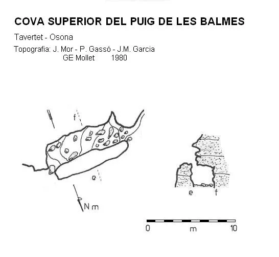
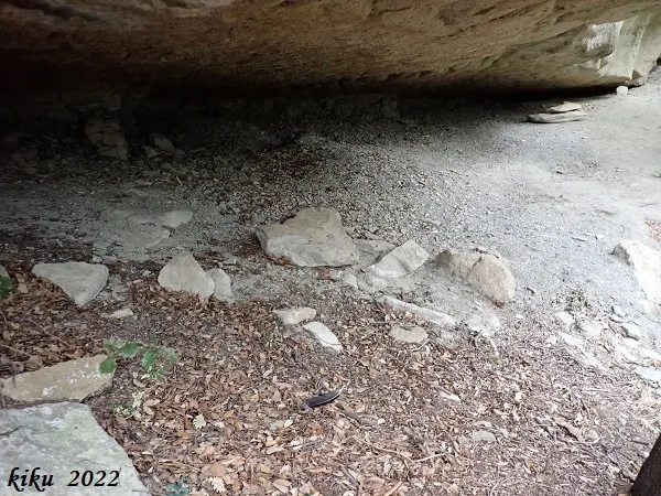


Source: Espeleoindex (espeleoindex.com), modified. CC BY-NC 4.0, https://creativecommons.org/licenses/by-nc/4.0/