
Balma de les Esplugues
Àmplia balma a Gaià (Bages)
EspeleoWorld
Balma de les Esplugues
Àmplia balma a Gaià (Bages)
Gaià · Bages
Length: 8 m
Updated record
https://espeleoworld.com/en/c/balma-de-les-esplugues
Information can change. Always verify coordinates, access, weather, and cave conditions before setting out.
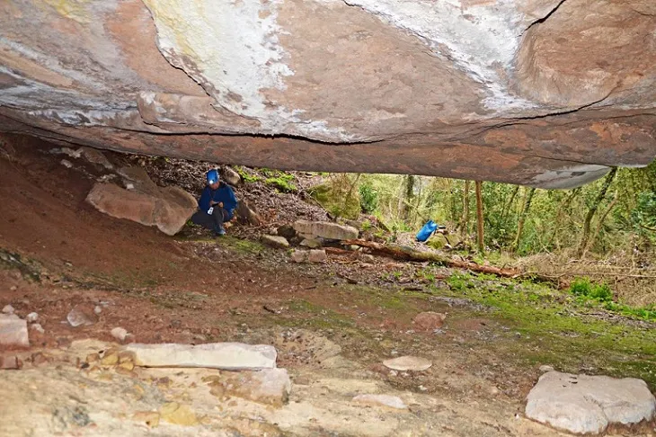
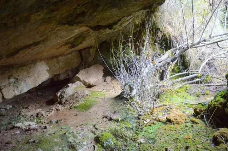
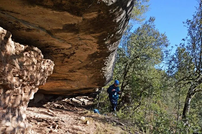
Wide shelter at Gaià, in Bages, 38 m long, 9 m deep and 3 m maximum height, with water deposits and stalagmitic crusts.
Topographic
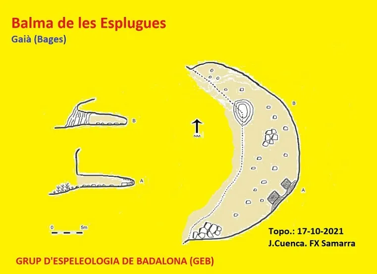

Espeleoindex · CC BY-NC 4.0, https://creativecommons.org/licenses/by-nc/4.0/ · Image © its author.
Photos

Espeleoindex · CC BY-NC 4.0, https://creativecommons.org/licenses/by-nc/4.0/ · Image © its author.
Description
Morphology
The shelter has a length of 38 m by 9 m deep and a maximum height of 3 m.
Speleothems
Inside we find scattered stalagmitic formations and crusts, as well as some accumulations of limestone tufa from the torrent's waterfall.
Hydrology
Inside we find some deposits that served to collect water from the ceiling's seepage in these two basins.
History
Known in the area since remote times. Referenced on the ICGC map.
User Comments (0)
No comments yet.
Be the first to share your experience!
Registered Explorations (0)
No explorations registered yet.
Register your visit to this cave!
Bibliography
- Totes les dades, topografia i fotografies han estat extretes del web: geb.cat (del Grup d'Espeleologia de Badalona). Apunt del 25-7-2022. Dades: Josep Cuenca i Xavier Samarra (GEB)
Nearby caves
Balma de la Font de la Vall Vilaramó
0.9 km · NW
Gaià (Bages)
1 topo.3 photos
Bauma de les Rocasses
1.8 km · NW
Santa Maria de Merlès (Berguedà)
1 topo.5 photos
Balma de la Font d'en Pere Costa
3.3 km · NE
Santa Maria de Merlès (Berguedà)
1 topo.3 photos
Balma dels Carlins
3.4 km · SE
Sant Feliu Sasserra (Bages)
1 topo.2 photos
Source: Espeleoindex (espeleoindex.com), modified. CC BY-NC 4.0, https://creativecommons.org/licenses/by-nc/4.0/