
Avencs Petits de Cerneres
Cavitat de 10 m de fondària a la serra del Cadí
EspeleoWorld
Avencs Petits de Cerneres
Cavitat de 10 m de fondària a la serra del Cadí
Josa i Tuixén · Alt Urgell
Length: 26 m · Depth: 10 m
Updated record
https://espeleoworld.com/en/c/avencs-petits-de-cerneres
Information can change. Always verify coordinates, access, weather, and cave conditions before setting out.
A 10 m deep cavity in the Serra del Cadí, with two entrances about 5 m apart. Detected by Jordi Francès using a LIDAR map and explored on 5-7-2026.
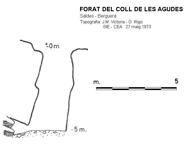
Topographic

Espeleoindex · CC BY-NC 4.0, https://creativecommons.org/licenses/by-nc/4.0/ · Image © its author.
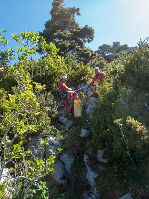
Photos
Espeleoindex · CC BY-NC 4.0, https://creativecommons.org/licenses/by-nc/4.0/ · Image © its author.
Description
Morphology
A 10 m deep cavity in the Serra del Cadí.
Descending through pit no. 1 we find a shaft about 3-4 metres wide and just over 9 m of drop. At the end of its bottom one reaches a narrow passage that, once passed, allows access to the lower zone of pit no. 2.
This one also presents a wide shaft but it soon narrows and one can reach a ramp gallery that connects with the aforementioned narrow passage.
Progression
Descending through pit no. 1 we find a shaft about 3-4 metres wide and just over 9 m of drop. At the end of its bottom one reaches a narrow passage that, once passed, allows access to the lower zone of pit no. 2.
This one also presents a wide shaft but it soon narrows and one can reach a ramp gallery that connects with the aforementioned narrow passage.
History
The entrances were detected by Jordi Francès on the LIDAR map, and at the end of June 2026 he was able to locate them on the ground.
The following Sunday, 5-7-2026, he himself, accompanied by Yolanda Asensio and Josep Guarro, carried out the exploration and the cataloguing tasks.
User Comments (0)
No comments yet.
Be the first to share your experience!
Registered Explorations (0)
No explorations registered yet.
Register your visit to this cave!
Bibliography
Totes les dades, topografia i fotografies han estat facilitades per Jordi Francès, Yolanda Asensio i Josep Guarro (juliol 2026)
Nearby caves


Source: Espeleoindex (espeleoindex.com), modified. CC BY-NC 4.0, https://creativecommons.org/licenses/by-nc/4.0/