
Avencs de la Desfeta
Small pit 7 m deep on the S slope of the Desfeta (Gavà).
EspeleoWorld
Avencs de la Desfeta
Small pit 7 m deep on the S slope of the Desfeta (Gavà).
Gavà · Baix Llobregat
Length: 15 m · Depth: 7 m
Updated record
https://espeleoworld.com/en/c/avencs-de-la-desfeta
Information can change. Always verify coordinates, access, weather, and cave conditions before setting out.
Small pit 7 m deep on the S slope of the Desfeta (Gavà).
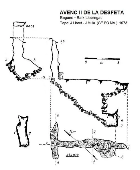
Topographic
Espeleoindex · CC BY-NC 4.0, https://creativecommons.org/licenses/by-nc/4.0/ · Image © its author.
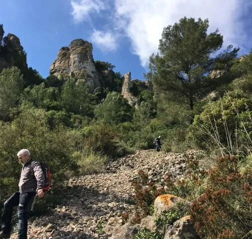
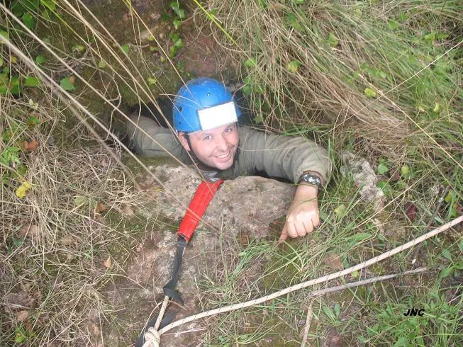
Photos
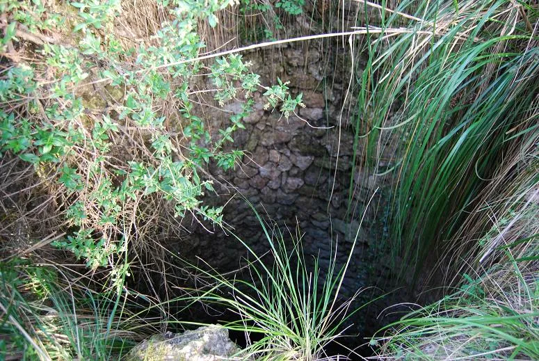
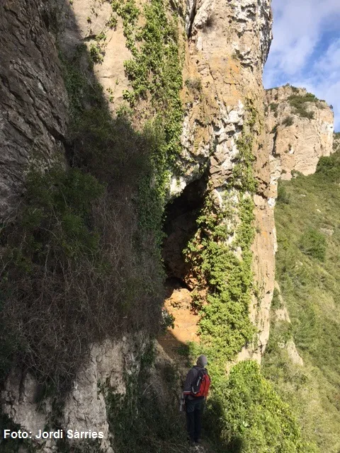
Espeleoindex · CC BY-NC 4.0, https://creativecommons.org/licenses/by-nc/4.0/ · Image © its author.
Description
Morphology
Avenc II de la Desfeta: through a very narrow shaft of about 3 metres depth one reaches a floor 3 metres long and here, a passage of reduced dimensions allows connection with another joint, orthogonal to that of the entrance, with the floor on a ramp and occupied by clastic materials until reaching the end where the point of maximum depth is reached. The bottom of the small entrance shaft is full of rubbish.
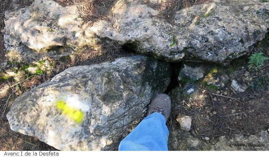
Avenc I de la Desfeta: the entrance covered by a large block that is difficult to move. According to old data, it is only about 4 metres deep.
History
The first exploration of the two cavities, it seems after respective clearings, took place around the spring of the year 1957 by members of the SES – CE Puigmal (Barcelona). Although they appeared on the maps of the Editorial Alpina, no concrete news of them was had until the year 1973 when members of the GEFOMA carried out the survey work for the Garraf catalogue (Joan Borràs).
User Comments (0)
No comments yet.
Be the first to share your experience!
Registered Explorations (0)
No explorations registered yet.
Register your visit to this cave!
Bibliography
- Borràs, J. (1974).- Catálogo espeleológico del macizo de Garraf. Vol. III . 207 pp. Barcelona.
- Coordenades i fotografies facilitades per membres de l'ERE – CEC (desembre 2016)
Nearby caves


Source: Espeleoindex (espeleoindex.com), modified. CC BY-NC 4.0, https://creativecommons.org/licenses/by-nc/4.0/