
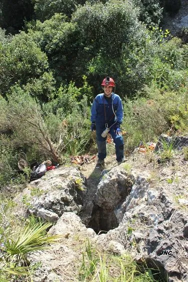
Avenc Vell
A 21-metre-deep pit in the municipality of Sitges, with a single 20-metre shaft and a point of maximum penetration at -21.3 metres.
EspeleoWorld
Avenc Vell
A 21-metre-deep pit in the municipality of Sitges, with a single 20-metre shaft and a point of maximum penetration at -21.3 metres.
Sitges · Garraf
Length: 26 m · Depth: 21 m
Updated record
https://espeleoworld.com/en/c/avenc-vell
Information can change. Always verify coordinates, access, weather, and cave conditions before setting out.
A 21-metre-deep pit in the municipality of Sitges, with a single 20-metre shaft and a point of maximum penetration at -21.3 metres.
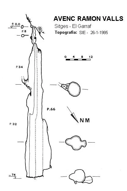
Topographic
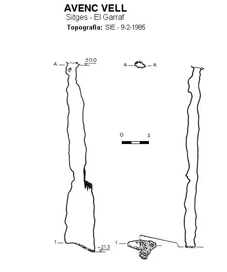
Espeleoindex · CC BY-NC 4.0, https://creativecommons.org/licenses/by-nc/4.0/ · Image © its author.
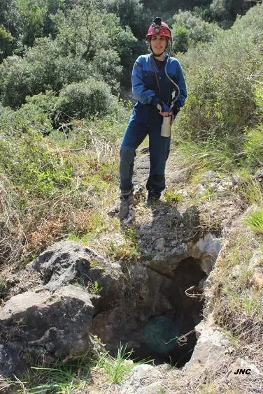
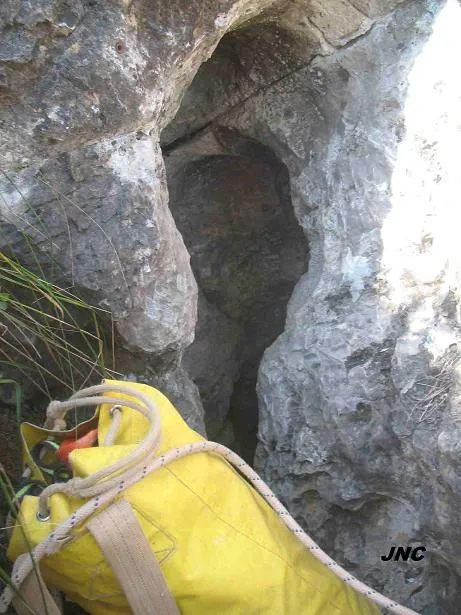
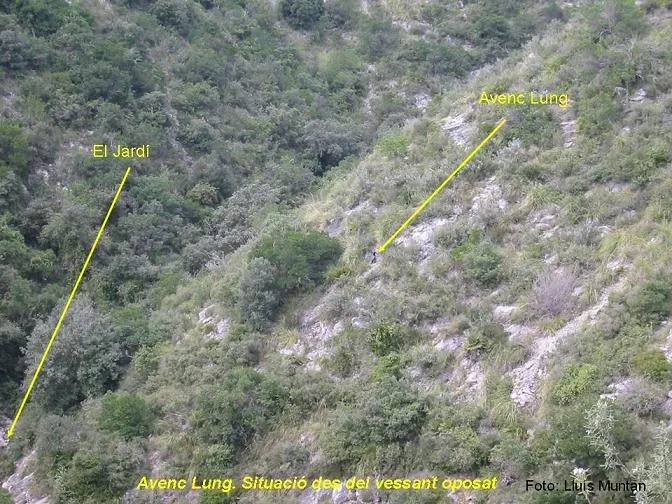
Photos
Espeleoindex · CC BY-NC 4.0, https://creativecommons.org/licenses/by-nc/4.0/ · Image © its author.
Description
Morphology
It consists of a single 20-metre shaft; the final section becomes wider on entering into lateral contact with a blind dome conduit. The sloping base places us at -21.3 metres as the point of maximum penetration of the cavity.
Progression
This itinerary takes approximately 1 hour.
History
The avencs Ramon Valls, Bessons and Vell were known to Gilberto, who was a tenant farmer of the Pleta until the middle of 1964. In the early summer of 1958 this man accompanied members of the SES-Puigmal to the mouth of what would be the avenc Ramon Valls and which they fully explored on 17 August of that same year (not 1960 as is said in the Garraf catalogue). The other nearby avencs (Bessons, Vell and Mig) were also explored by this group at the same time.
User Comments (0)
No comments yet.
Be the first to share your experience!
Registered Explorations (0)
No explorations registered yet.
Register your visit to this cave!
Bibliography
- Borrás Xavier, Joan. (1974).- Catálogo Espeleológico del Macizo de Garraf (II):1-166. Barcelona.
- Miñarro, Josep M. (1990).-“Revissió d'unes cavitats del Fondo de Vallbona”. Espeleosie (31):11-16. SIE-CE Àliga. Barcelona.
- SES Puigmal.(1958).-“Avenc Ramon Valls”. Cordada (42):11.Barcelona.
- Fotos 'JNC' facilitades per Jordi Navarro, (Centre Excursionista de Castellar del Vallès).
Nearby caves


Source: Espeleoindex (espeleoindex.com), modified. CC BY-NC 4.0, https://creativecommons.org/licenses/by-nc/4.0/