
Avenc Nr-7
Avenc de 38 metres de fondària a la serra d'en Clarà, Mont-ral.
EspeleoWorld
Avenc Nr-7
Avenc de 38 metres de fondària a la serra d'en Clarà, Mont-ral.
Mont-ral · Alt Camp
Length: 69 m · Depth: 38 m
Updated record
https://espeleoworld.com/en/c/avenc-nr-7
Information can change. Always verify coordinates, access, weather, and cave conditions before setting out.
A 38-metre-deep pit in the serra d'en Clarà, Mont-ral, located and explored by the AAEET de Valls in 1998.
Topographic
Espeleoindex · CC BY-NC 4.0, https://creativecommons.org/licenses/by-nc/4.0/ · Image © its author.
Photos
Espeleoindex · CC BY-NC 4.0, https://creativecommons.org/licenses/by-nc/4.0/ · Image © its author.
Description
Morphology
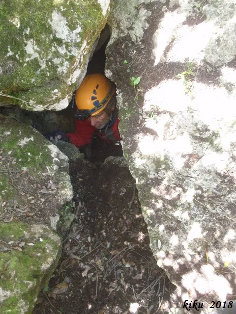
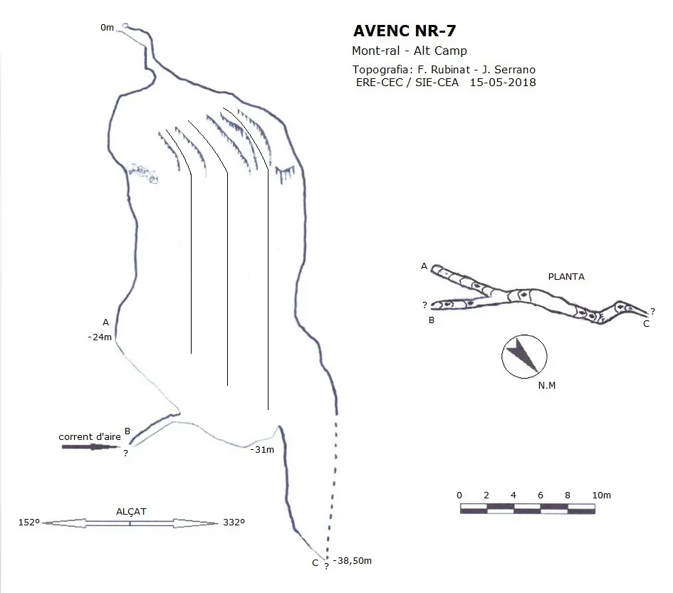
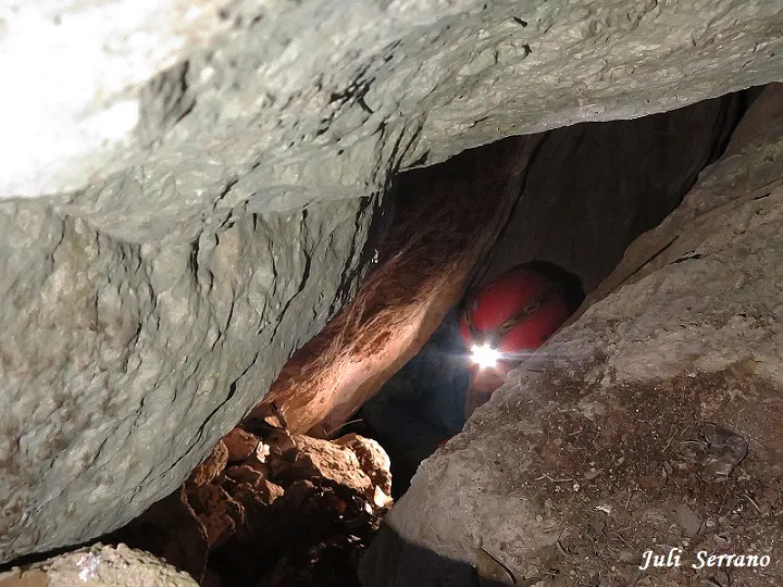
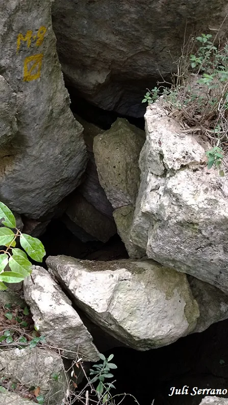
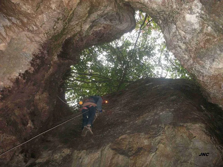
A narrow entrance 0.42X0.58 metres gives access to a short gallery that leads us to a 1.50-metre drop, the base is formed by a small ledge that opens into an inclined and broken-down joint along which we will advance secured in a NW direction, where abundant lithogenic formation can be seen and it can be observed that the joint is wider and gains verticality. From this point we will descend a sinuous but wide 20-metre pit. The base is located at elevation -31 m, towards the SE we find two continuations, one on a steep ascending ramp that climbs the joint up to elevation -24 m, while the other continuation is a narrow passage that narrows until it becomes impenetrable, but through which there is a notable air circulation. On the NW side, a small drop formed by sediments from the exterior must be climbed, here we find a pit about 7 metres deep followed by a descending ramp that leads us to the final point. The joint still continues in the form of a meander, but impassable due to its narrowness, the final elevation is at -38.50 metres.
Speleothems
In the inclined and broken-down joint abundant lithogenic formation can be seen.
Progression
A narrow entrance 0.42X0.58 metres gives access to a short gallery that leads us to a 1.50-metre drop. The base is formed by a small ledge that opens into an inclined and broken-down joint along which we will advance secured in a NW direction. From this point we will descend a sinuous but wide 20-metre pit. The base is located at elevation -31 m, towards the SE we find two continuations, one on a steep ascending ramp that climbs the joint up to elevation -24 m, while the other continuation is a narrow passage that narrows until it becomes impenetrable, but through which there is a notable air circulation. On the NW side, a small drop formed by sediments from the exterior must be climbed, here we find a pit about 7 metres deep followed by a descending ramp that leads us to the final point. The joint still continues in the form of a meander, but impassable due to its narrowness, the final elevation is at -38.50 metres.
History
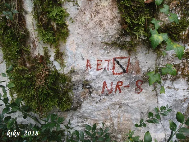
From the little data available, it seems that it was located and explored by the AAEET de Valls in 1998, during the prospections carried out in this area. We do not know the meaning of the initials NR with which some of the cavities in this sector were named.
User Comments (0)
No comments yet.
Be the first to share your experience!
Registered Explorations (0)
No explorations registered yet.
Register your visit to this cave!
Bibliography
- Dades inèdites, topografia, coordenades, situació i fotografies, facilitades per Juli Serrano (SIE-CEA) i Francesc Rubinat (ERE-CEC).
Nearby caves


Source: Espeleoindex (espeleoindex.com), modified. CC BY-NC 4.0, https://creativecommons.org/licenses/by-nc/4.0/