
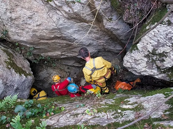
Avenc Negre
A 24-metre-deep pit in Pallejà, with a 5X2 metre entrance and a path route of 500 metres and 88 metres of elevation gain.
EspeleoWorld
Avenc Negre
A 24-metre-deep pit in Pallejà, with a 5X2 metre entrance and a path route of 500 metres and 88 metres of elevation gain.
Pallejà · Baix Llobregat
Length: 49 m · Depth: 24 m
Updated record
https://espeleoworld.com/en/c/avenc-negre-palleja
Information can change. Always verify coordinates, access, weather, and cave conditions before setting out.
A 24-metre-deep pit in Pallejà, with a 5X2 metre entrance and a path route of 500 metres and 88 metres of elevation gain.
Topographic
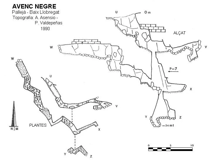

Espeleoindex · CC BY-NC 4.0, https://creativecommons.org/licenses/by-nc/4.0/ · Image © its author.
Photos

Espeleoindex · CC BY-NC 4.0, https://creativecommons.org/licenses/by-nc/4.0/ · Image © its author.
Description
Morphology
The 5X2 metre entrance gives access to a -5 metre pit; after scrambling over a small chaos of blocks, a 3-metre drop is descended with the floor sloping; here we find a horizontal gallery of irregular structure with a route of 14 metres. At the start of this gallery we find a pit -7 metres deep; once at its base, easy climbs with numerous small drops give access to a gallery of more than 12 metres in route and 2 metres in width, with a flat ceiling very close to the surface. Back at the base of the pit, a narrow entrance opens that gives access to a -5 metre pit, through which we reach -24 metres of depth.
History
The first speleological references date from 1990, provided by Antonio Asensio and Pedro Valdepeñas.
User Comments (0)
No comments yet.
Be the first to share your experience!
Registered Explorations (0)
No explorations registered yet.
Register your visit to this cave!
Bibliography
Asensio,A.; Valdepeñas,P.(1993).-'Las cavidades de la Mola de Montmany y alrededores'. Passamà (1):5-26. GIRES. Sant Esteve de Sesrovires.
Rubinat Aumedes, Francesc.(2004).-Catàleg Espeleològic del massís de l'Ordal (monogràfic):1-117. SIE-CE Àliga. Barcelona.
Coordenades, situació i fotografies extretes del web (espeleodijous.cat), post de la sortida realitzada el dia 6-3-2025.
Nearby caves
Escletxa de les Rovires Nº2
0.0 km · SE
Pallejà (Baix Llobregat)
2 topo.5 photos
Escletxa de les Rovires Nº5
0.0 km · SE
Pallejà (Baix Llobregat)
1 topo.
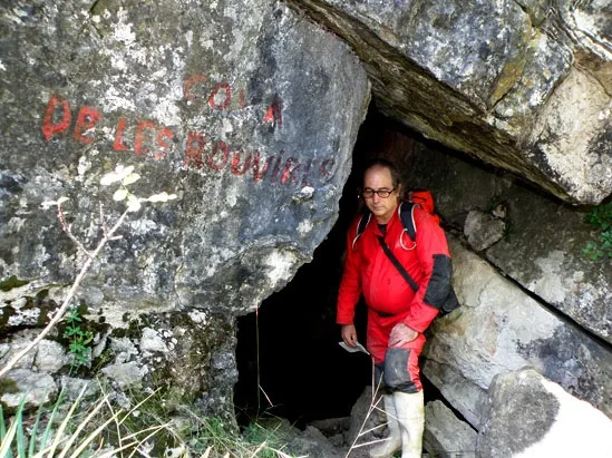
Complex de les Rovires Nº1-3
0.0 km · SE
Pallejà (Baix Llobregat)
4 topo.5 photos
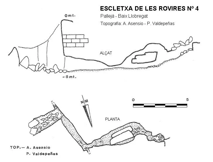
Escletxa de les Rovires Nº4
0.0 km · SE
Pallejà (Baix Llobregat)
1 topo.
Source: Espeleoindex (espeleoindex.com), modified. CC BY-NC 4.0, https://creativecommons.org/licenses/by-nc/4.0/