
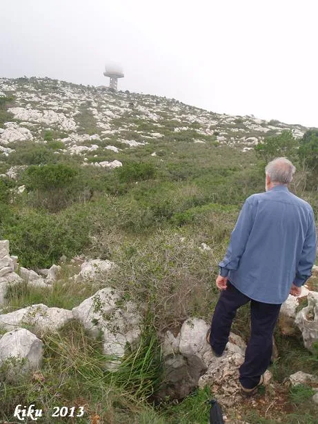
Avenc dels Reis
A 7 m deep pit near the puig del Rascler (Garraf), with an entrance divided by a rock bridge and a single shaft with a ledge at -2 m.
EspeleoWorld
Avenc dels Reis
A 7 m deep pit near the puig del Rascler (Garraf), with an entrance divided by a rock bridge and a single shaft with a ledge at -2 m.
Begues · Baix Llobregat
Length: 9 m · Depth: 7 m
Updated record
https://espeleoworld.com/en/c/avenc-dels-reis
Information can change. Always verify coordinates, access, weather, and cave conditions before setting out.
A 7 m deep pit near the puig del Rascler (Garraf), with an entrance divided by a rock bridge and a single shaft with a ledge at -2 m.
Topographic
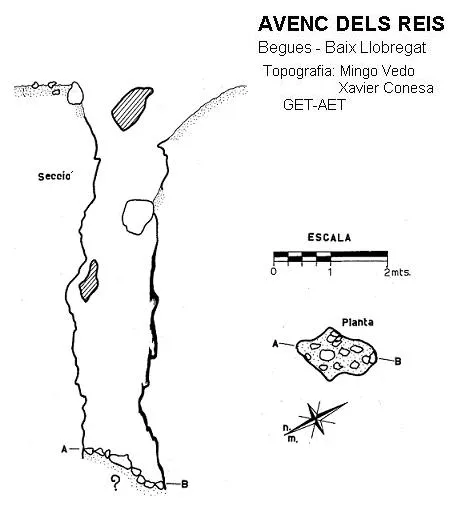
Espeleoindex · CC BY-NC 4.0, https://creativecommons.org/licenses/by-nc/4.0/ · Image © its author.
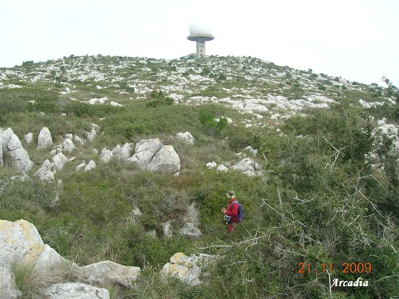
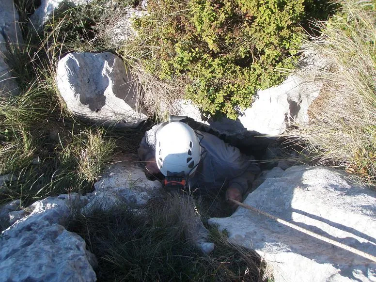
Photos
Espeleoindex · CC BY-NC 4.0, https://creativecommons.org/licenses/by-nc/4.0/ · Image © its author.
Description
Morphology
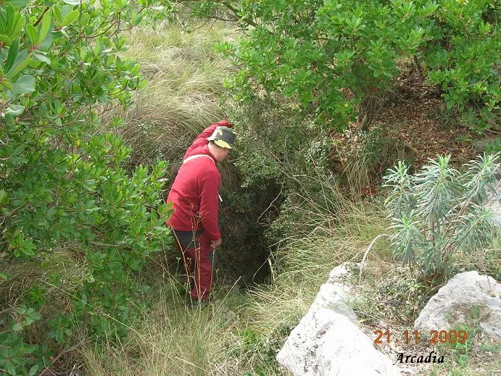
The entrance is divided by a rock bridge. This gives access to a single shaft 7 metres deep, with a ledge located at -2 metres.
History
The first exploration was carried out in 1970 by the GET de l'AE Talaia.
User Comments (0)
No comments yet.
Be the first to share your experience!
Registered Explorations (0)
No explorations registered yet.
Register your visit to this cave!
Bibliography
- Borràs Xavier,J.(1973).- Catálogo Espeleológico del Macizo de Garraf (I):1-155.
- Ferrer, J. (1971).- “Garraf-70”. Soterrània (2): 4-12. GET de l'Agrupació Excursionista Talaia. Vilanova i la Geltrú.
Nearby caves


Source: Espeleoindex (espeleoindex.com), modified. CC BY-NC 4.0, https://creativecommons.org/licenses/by-nc/4.0/