
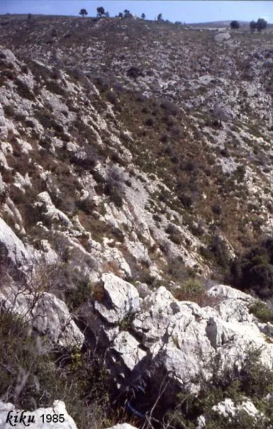
Avenc dels Aragalls
A 55 m deep pit in Garraf (Sitges), located in 1966 and resurveyed in 1990.
EspeleoWorld
Avenc dels Aragalls
A 55 m deep pit in Garraf (Sitges), located in 1966 and resurveyed in 1990.
Sitges · Garraf
Length: 85 m · Depth: 55 m
Updated record
https://espeleoworld.com/en/c/avenc-dels-aragalls
Information can change. Always verify coordinates, access, weather, and cave conditions before setting out.
A 55 m deep pit in Garraf (Sitges), located in 1966 and resurveyed in 1990.
Topographic
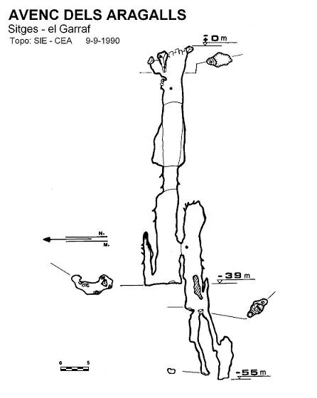
Espeleoindex · CC BY-NC 4.0, https://creativecommons.org/licenses/by-nc/4.0/ · Image © its author.
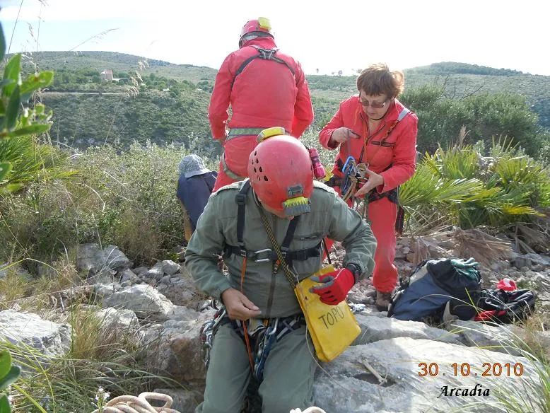
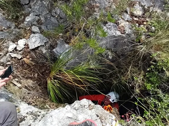
Photos
Espeleoindex · CC BY-NC 4.0, https://creativecommons.org/licenses/by-nc/4.0/ · Image © its author.
Description
Morphology
A 4 x 2 metre mouth gives access to a large pit 39 metres in vertical drop. At the N end of its base we find a chimney 8 metres high. 6 metres from the base of the entrance pit and on its W wall there is a window. Through this window we reach the middle of a pit blind in its upper part that descends 8 metres more; at its bottom open the mouths of two independent pits of much more modest dimensions, which descend 12 metres more.
Speleothems
The 8 metre high chimney is covered by lithogenic formations.
Progression
The window can be reached by means of a small pendulum or by climbing from the bottom. At the bottom of one of the two independent pits one reaches the point of maximum penetration.
History
Following the directions of the then son of Can Lluçà, members of the SIRE UEC Sants located it on 4 December 1966 after a couple of frustrated attempts. The following week the first exploration is carried out, and on 8 January 1967 the final section is resurveyed and a survey is made that gives 59 metres of depth. On 9 September 1990 members of the SIE-CE Àliga resurvey it and establish a maximum depth of 55 metres.
User Comments (0)
No comments yet.
Be the first to share your experience!
Registered Explorations (0)
No explorations registered yet.
Register your visit to this cave!
Bibliography
- Borràs, J. (1974).- Catálogo espeleológico del macizo de Garraf. Vol. II. 166 pp. Barcelona.
- Cornellas,C.; Miñarro,JM. (1967).- “Avenc dels Aragalls” Bol.Información SIRE (4): 20-22. SIRE – UEC Sants. Barcelona.
- Ferrer, V. (2006).- Avencs de Garraf i d'Ordal. 152 pp. + llibret fitxes i topografies. Edició de l'autor. Barcelona.
- SIE (1993).- “Dues cavitats del fons de les Coves” EspeleoSie (32): 17-20. SIE del CEA. Barcelona.
· Coordenades facilitades per Tony Romero (SIRE – UEC el Prat)
Nearby caves


Source: Espeleoindex (espeleoindex.com), modified. CC BY-NC 4.0, https://creativecommons.org/licenses/by-nc/4.0/