

Avenc del Tall
A 60 m deep pit in Martís (Esponellà), with two entrances in an artificial trench.
EspeleoWorld
Avenc del Tall
A 60 m deep pit in Martís (Esponellà), with two entrances in an artificial trench.
Esponellà · Pla de l'Estany
Length: 168 m · Depth: 60 m
Updated record
https://espeleoworld.com/en/c/avenc-del-tall
Information can change. Always verify coordinates, access, weather, and cave conditions before setting out.
A 60 m deep pit in Martís (Esponellà), with two entrances in an artificial trench.
Topographic


Espeleoindex · CC BY-NC 4.0, https://creativecommons.org/licenses/by-nc/4.0/ · Image © its author.
Photos

Espeleoindex · CC BY-NC 4.0, https://creativecommons.org/licenses/by-nc/4.0/ · Image © its author.
Description
Morphology
The two entrances of the cavity open inside an artificial trench about 3 metres wide and about four high. The total drop is 60 metres (-57/+3).
Progression
Some sloping passages lead to small descending galleries, ending above a -28 metre pit, which is no more than a long E-W trending joint, difficult to traverse because of its narrowness and the blocks wedged in the walls and at the base. Entering through the entrance situated further N, there is a small ascending gallery.
Other details
Inside the entrance situated further S, we find a large quantity of rubbish from the nearby houses.
History
Explored and surveyed by the GIS de Girona on 9 April and 28 October 1974.
User Comments (0)
No comments yet.
Be the first to share your experience!
Registered Explorations (0)
No explorations registered yet.
Register your visit to this cave!
Bibliography
- Borràs, J;Miñarro, JM; Talavera, F.(1982).-”el baix empordà, el gironès, la selva,l'osona, el vallès oriental i el maresme.” Catàleg Espeleològic de Catalunya (vol.6):84-85. Ed Políglota. Barcelona.
Nearby caves

Avenc dels Gossos
0.1 km · W
Esponellà (Pla de l'Estany)
1 topo.
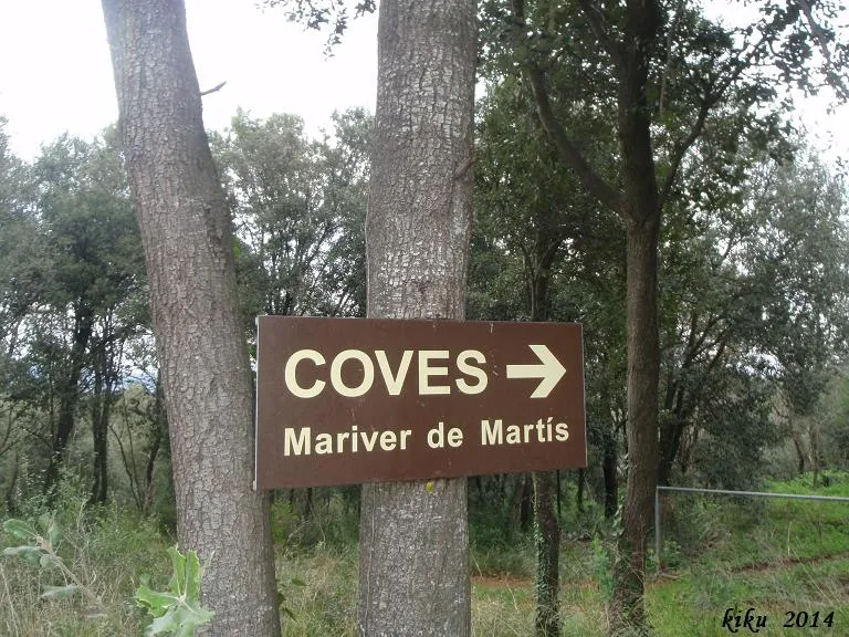
Cova de Mariver de Martís
0.2 km · E
Esponellà (Pla de l'Estany)
6 topo.7 photos
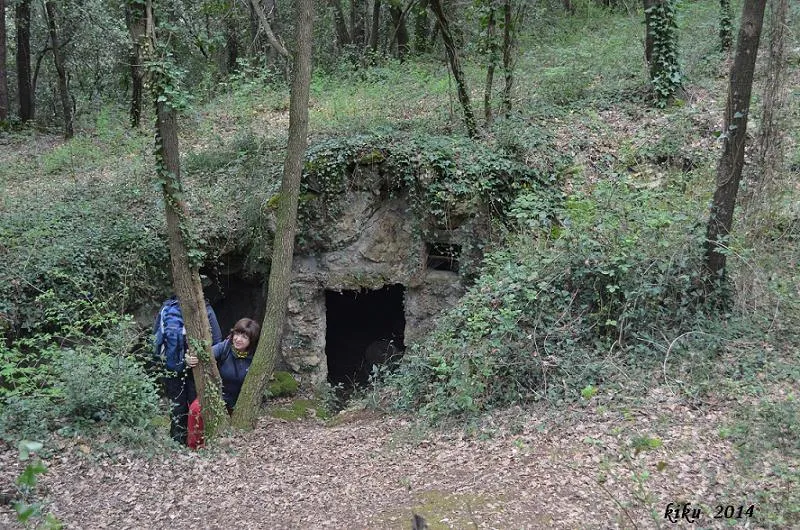
Cova de Mariver de Martís Nº2
0.2 km · E
Esponellà (Pla de l'Estany)
2 topo.3 photos

Avenc de l'Administració
0.2 km · E
Esponellà (Pla de l'Estany)
1 topo.
Source: Espeleoindex (espeleoindex.com), modified. CC BY-NC 4.0, https://creativecommons.org/licenses/by-nc/4.0/