
Avenc del Puig Cubell de Vilada
Esquerda de 18 m de fondària al Puig Cubell (Vilada, Berguedà)
EspeleoWorld
Avenc del Puig Cubell de Vilada
Esquerda de 18 m de fondària al Puig Cubell (Vilada, Berguedà)
Vilada · Berguedà
Length: 37 m · Depth: 18 m
Updated record
https://espeleoworld.com/en/c/avenc-del-puig-cubell-de-vilada
Information can change. Always verify coordinates, access, weather, and cave conditions before setting out.
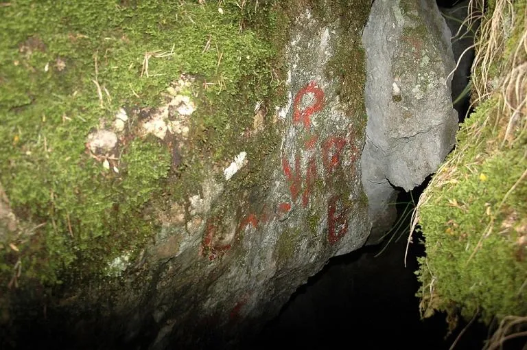
An 18 m deep pit at Puig Cubell (Vilada, Berguedà), known as Avenc del Puig Cubell de Vilada.
Topographic

Espeleoindex · CC BY-NC 4.0, https://creativecommons.org/licenses/by-nc/4.0/ · Image © its author.
Photos
Espeleoindex · CC BY-NC 4.0, https://creativecommons.org/licenses/by-nc/4.0/ · Image © its author.
Description
Morphology
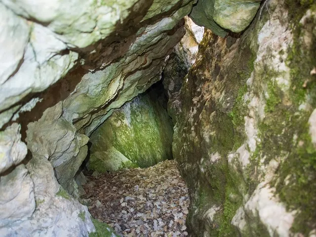
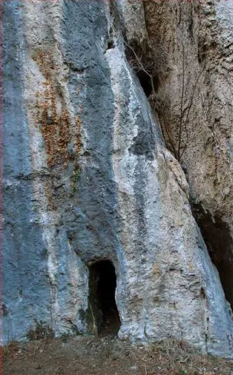
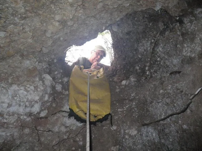
The entrance of the cavity is complex, as it is subdivided by large wedged blocks, offering a chaotic appearance. Although it gives way to a vertical drop, we can avoid the use of ropes by accessing through an entrance located on the south side, which will place us in the main gallery after descending an easy step.
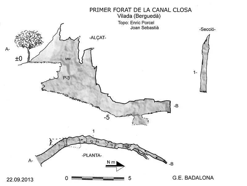
The most important part of the pit is structured along a joint inclined about 70 degrees. This is descending, and at its lowest point there is a small perpendicular fissure where the vertical of a narrow little shaft opens, allowing us to descend 5 m more until reaching elevation -18 m.
Speleothems
No notable speleothem formation can be seen.
History
The cavity is marked on the ICGC map but it is placed in the wrong location, considerably further south than where it actually is. The Editorial Alpina map (“Catllaràs-Picancel”) places it in the correct location.
Despite this, and although it is known to some hikers, the cavity has gone unnoticed by speleologists, not appearing in any speleological catalogue. Members of the GEB and the ECMB decided to go and look for it, and they located it after a short prospection of the area.
Although the cavity is known by the name “Avenc del Puig Cubell”, the explorers thought it appropriate to extend the name to “Avenc del Puig Cubell de Vilada” in order to avoid possible confusion with another cavity that is also called “Avenc del Puig Cubell” and which is located in the municipality of Vidrà (Osona)
Bio
Some bats have found refuge inside it.
User Comments (0)
No comments yet.
Be the first to share your experience!
Registered Explorations (0)
No explorations registered yet.
Register your visit to this cave!
Bibliography
- Totes les dades, topografia i fotografies han estat extretes del web: geb.cat (del Grup d'Espeleologia de Badalona). Apunt del 11-2-2020. Dades: F. Cardona (ECMB), J. Cuenca, J. Llorca i E. Doña (GEB)
- Foto de la boca de l'avenc de Marc Solé. També es pot consultar el web: www.engarrista.com Apunt del 26-12-2013. Ruta excursionista a Puig Cubell i Feixa del Cint, on hi ha un track de la ruta i fotos de l'avenc.
Nearby caves


Source: Espeleoindex (espeleoindex.com), modified. CC BY-NC 4.0, https://creativecommons.org/licenses/by-nc/4.0/