
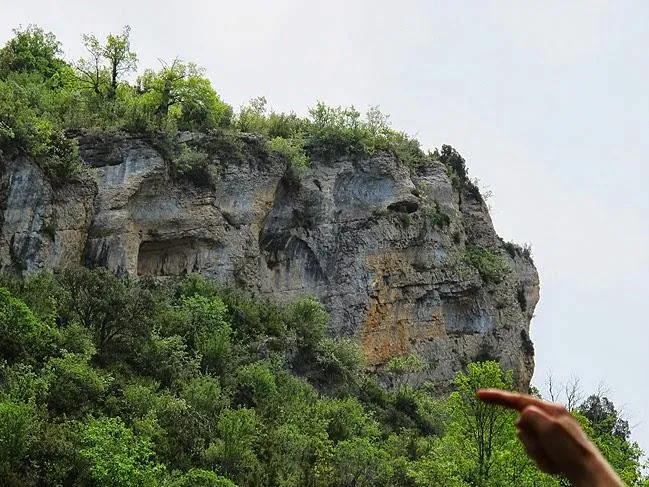
Avenc del Cingle de Roca Alta
Avenc de 37 metres de desnivell al municipi de Sant Esteve de la Sarga.
EspeleoWorld
Avenc del Cingle de Roca Alta
Avenc de 37 metres de desnivell al municipi de Sant Esteve de la Sarga.
Sant Esteve de la Sarga · Pallars Jussà
Length: 70 m · Depth: 37 m
Updated record
https://espeleoworld.com/en/c/avenc-del-cingle-de-roca-alta
Information can change. Always verify coordinates, access, weather, and cave conditions before setting out.
A 37-metre-deep pit in Sant Esteve de la Sarga, with a 3x6 metre entrance on the Roca-Alta crag.
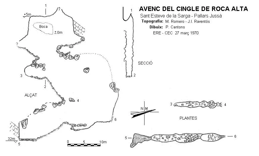
Topographic

Espeleoindex · CC BY-NC 4.0, https://creativecommons.org/licenses/by-nc/4.0/ · Image © its author.
Photos

Espeleoindex · CC BY-NC 4.0, https://creativecommons.org/licenses/by-nc/4.0/ · Image © its author.
Description
Morphology
The 3x6 metre entrance opens in the wall of the Roca-Alta crag. This gives access to a pit with a width of 2 metres and a variable length of between 15 and 20 metres, with several ramps formed by blocks wedged in the walls. The drop is -14 metres, where a very steep base is reached, followed by a -7 metre pit that leaves you on a pile of small blocks. Towards the north the floor is almost flat; a gallery blocked by blocks can be seen. Towards the south a steep final ramp ends in a gour containing about 400 litres of water. The total drop is 37 metres (-32/+5).
Speleothems
The gallery blocked by blocks, towards the north, has abundant wall concretions, while the floor is likewise covered in concretions.
Hydrology
The gour at the end of the steep ramp towards the south contains about 400 litres of water.
History
First exploration carried out on 22 December 1968 by M. Romero and J.I. Raventós of the ERE-CEC, and J. Serrate with another companion, both of the GELL-CELL.
User Comments (0)
No comments yet.
Be the first to share your experience!
Registered Explorations (0)
No explorations registered yet.
Register your visit to this cave!
Bibliography
- Romero i Rectoret, Martí. (1970).- “Catálogo Espeleológico del Montsec”. Espeleòleg (11-12):561-562. ERE del CEC. Barcelona.
- Borràs, J; Miñarro, J.M.; Talavera, F.(1979).-Catàleg Espeleològic de Catalunya (Vol.3). ed. Políglota. Barcelona.
- Coordenades, situació i fotos, aportades per Juli Serrano i Montse Roca. “Micro campanya de cap de setmana al Montsec d'Ares (3)” extret del blog “espeleobloc” post del dia 1 de juny de 2014.
Nearby caves
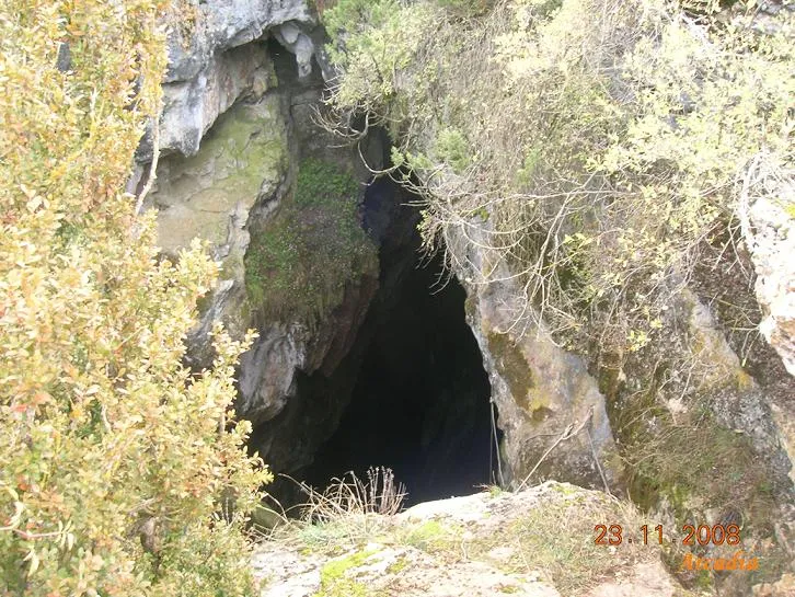
Graller del Boixeguer
0.7 km · W
Sant Esteve de la Sarga (Pallars Jussà)
6 topo.18 photos
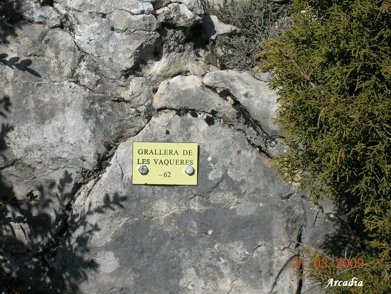
Graller de les Vaqueres
0.8 km · S
Sant Esteve de la Sarga (Pallars Jussà)
1 topo.6 photos
Cova dels Mosquits
0.9 km · NW
Sant Esteve de la Sarga (Pallars Jussà)
1 topo.6 photos
Balma de les Vaqueres
1.0 km · S
Sant Esteve de la Sarga (Pallars Jussà)
1 topo.1 photos
Source: Espeleoindex (espeleoindex.com), modified. CC BY-NC 4.0, https://creativecommons.org/licenses/by-nc/4.0/