
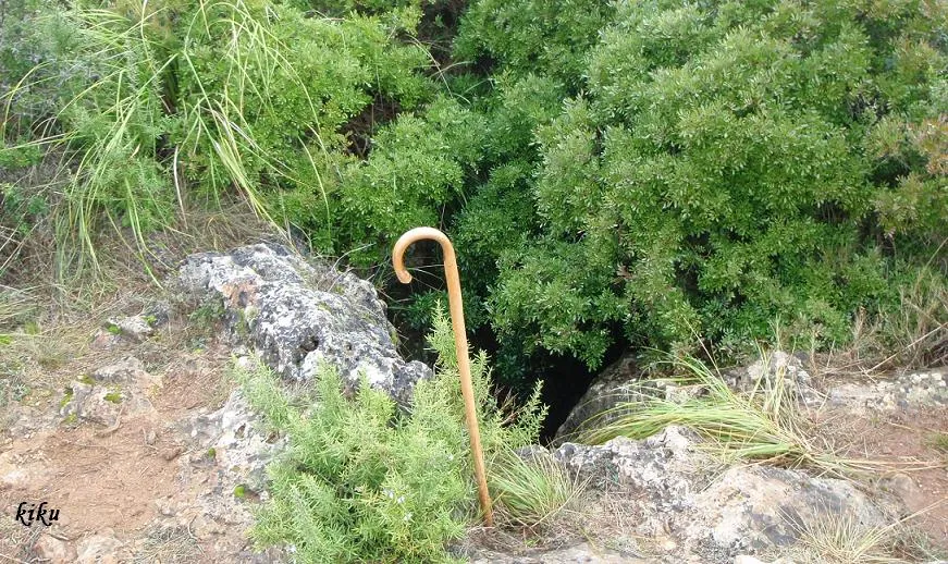
Avenc de Puigmoltó
A 26 m deep pit in Begues, in front of Can Puigmoltó, near an isolated pine tree (2009).
EspeleoWorld
Avenc de Puigmoltó
A 26 m deep pit in Begues, in front of Can Puigmoltó, near an isolated pine tree (2009).
Begues · Baix Llobregat
Length: 41 m · Depth: 26 m
Updated record
https://espeleoworld.com/en/c/avenc-de-puigmolto
Information can change. Always verify coordinates, access, weather, and cave conditions before setting out.
A 26 m deep pit in Begues, in front of Can Puigmoltó, near an isolated pine tree (2009).
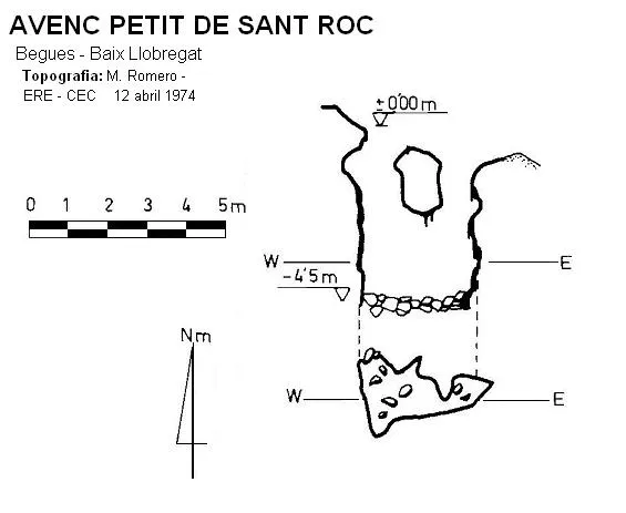
Topographic
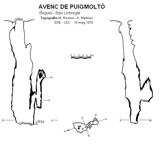
Espeleoindex · CC BY-NC 4.0, https://creativecommons.org/licenses/by-nc/4.0/ · Image © its author.
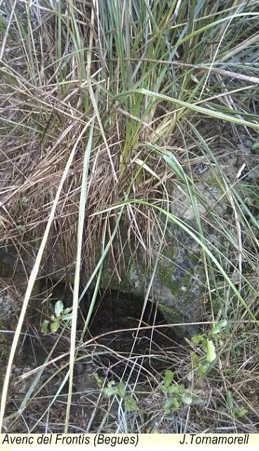
Photos
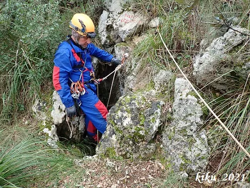
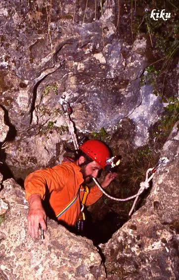
Espeleoindex · CC BY-NC 4.0, https://creativecommons.org/licenses/by-nc/4.0/ · Image © its author.
Description
Morphology
Irregularly shaped entrance, about 2 metres in diameter. A 25.6 metre shaft that gradually widens down to -18, where it begins to narrow again. At the S end of the floor plan there appears to be a small sinkhole, and directly above it rises a chimney up which 13 metres can be ascended. At -21 m and on the W wall there is also a small side chamber. Set in a doline, nowadays extensively degraded by epigean erosion, like many others observed on the summit plateaus of the serra de la Guàrdia. Structured in a N-S continuity, except for two side cavities that lie on individual E-W axes. A fusiform-type cavity originated by the action of water collected by the original doline.
Speleothems
A later and very intense lithogenic process that completely masks the original morphology.
Other details
It seems that not long ago (1974 data) a movement of the rock occurred in the lower part of the E wall, possibly due to decompression phenomena.
History
The first exploration was carried out by Mn. Norbert Font i Sagué on 20 July 1898.
Toponymy: In the book Begues, by Conxita Solans and M.Rosa Bondia (Cossetània Edicions), they record that the correct name of Puigmoltó should be Puigvoltor and instead of coll Sostrell, the correct toponym would be coll Sustrell, derived from a contraction of ullastrell = small wild olive tree. (Note provided by Lluís Muntan)
User Comments (0)
No comments yet.
Be the first to share your experience!
Registered Explorations (0)
No explorations registered yet.
Register your visit to this cave!
Bibliography
- Amat i Carreras, R. (1925).- “Sota el massís de Garraf. Campanya del 1924” Butlletí del Centre Excursionista de Catalunya 35 (363-364): 233-267. CEC. Barcelona.
- Borràs, J. (1974).- Catálogo espeleológico del macizo de Garraf. Vol. III. 207 pp. Barcelona.
- Font i Sagué, N.899).- “Excursió espeleologica a la Baronia d'Aramprunyà” Butll. CEC 9 (57): 233-252; (58): 257-278. CE Catalunya. Barcelona.
- Martinez, A. ; Romero, M.(1974).- “Sobre algunes cavitats de la serra de la Guàrdia (Garraf)”. Espeleòleg (20): 1077-1096. ERE – CEC. Barcelona.
- Montoriol, J. (1964).- “Estudio de las formas cársticas hipogeas desarrolladas en los bordes del Polje de Begues (Macizo de Garraf, Barcelona)” Speleon Tomo XV (1-4): 3-38. Universidad de Oviedo.
- fotos 'JNC' facilitades per Jordi Navarro, (Centre Excursionista de Castellar del Vallès).
Nearby caves


Source: Espeleoindex (espeleoindex.com), modified. CC BY-NC 4.0, https://creativecommons.org/licenses/by-nc/4.0/