
Avenc de les Codinetes
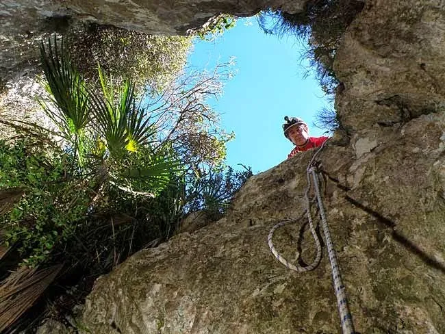
Avenc de 33 metres de fondària metres al barranc de les Forques (Vandellòs i l'Hospitalet de l'Infant)
EspeleoWorld
Avenc de les Codinetes
Avenc de 33 metres de fondària metres al barranc de les Forques (Vandellòs i l'Hospitalet de l'Infant)
Vandellòs i l'Hospitalet de l'Infant · Baix Camp
Length: 100 m · Depth: 33 m
Updated record
https://espeleoworld.com/en/c/avenc-de-les-codinetes
Information can change. Always verify coordinates, access, weather, and cave conditions before setting out.
A 33-metre-deep pit in the barranc de les Forques, in Vandellòs i l'Hospitalet de l'Infant. Explored by the ERE of the CEC in 1965.
Topographic
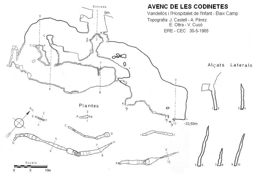

Espeleoindex · CC BY-NC 4.0, https://creativecommons.org/licenses/by-nc/4.0/ · Image © its author.
Description
Morphology
An elongated mouth of 3.5X1 metre gives way to a first shaft of -8 metres, ending in a ledge situated between two new shafts.
Hydrology
A reservoir that remains dry most of the year.
Progression
On the E side, one of -7 metres opens, followed by a slope of stones, a new shaft of -9 metres and a new slope ends above the entrance of a new impassable vertical.
On the W side, there is a short slope followed by a small shaft of -4 metres, at its bottom there is a gallery that presents different steps until emerging above a final shaft of 11 metres, situated above a long lower gallery.
History
Explored by the ERE of the CEC in 1965.
User Comments (0)
No comments yet.
Be the first to share your experience!
Registered Explorations (0)
No explorations registered yet.
Register your visit to this cave!
Bibliography
- Borràs, J.; Miñarro, JM.; Talavera, F.(1984).-”el baix camp, el priorat i la ribera d'ebre)” Catàleg Espeleològic de Catalunya (vol.7):123-124. Ed. Políglota. Barcelona.
- Cusó, V.; Castell, J.; Escolà, O.(1966).-”El avenc de les Codinetes”. Montaña (105):165-168. CE Catalunya. Barcelona.
- Montserrat, A.(1983).-”Sobre algunes cavitats del baix Camp i Priorat (III)”. Espeleòleg (34-35):280-293. ERE – CE Catalunya. Barcelona
Nearby caves
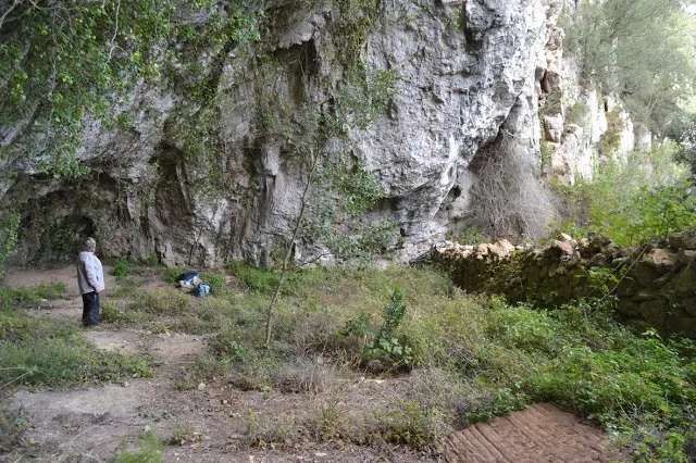
Cova del Cingle
2.0 km · N
Vandellòs i l'Hospitalet de l'Infant (Baix Camp)
1 topo.2 photos
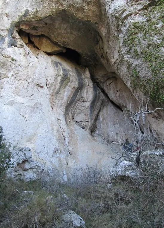
Cova del Colom
2.0 km · SW
Vandellòs i l'Hospitalet de l'Infant (Baix Camp)
1 topo.1 photos
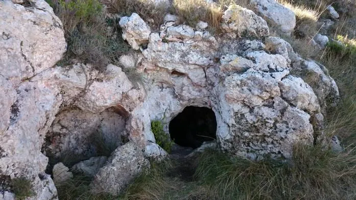
Cocó de Recules
2.2 km · SW
Vandellòs i l'Hospitalet de l'Infant (Baix Camp)
1 topo.2 photos
Avenc de Vandellòs
2.3 km · SW
Vandellòs i l'Hospitalet de l'Infant (Baix Camp)
2 topo.12 photos
Source: Espeleoindex (espeleoindex.com), modified. CC BY-NC 4.0, https://creativecommons.org/licenses/by-nc/4.0/