
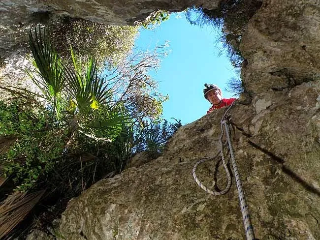
Avenc de Vandellòs
Important esquerda de 109 m. de fondària a Vandellòs
EspeleoWorld
Avenc de Vandellòs
Important esquerda de 109 m. de fondària a Vandellòs
Vandellòs i l'Hospitalet de l'Infant · Baix Camp
Length: 225 m · Depth: 109 m
Updated record
https://espeleoworld.com/en/c/avenc-de-vandellos
Information can change. Always verify coordinates, access, weather, and cave conditions before setting out.
A 109 m deep pit in Vandellòs, known since time immemorial, with clastic morphology and explorations documented since 1913.
Topographic
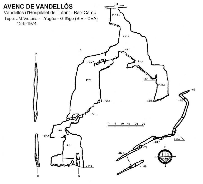

Espeleoindex · CC BY-NC 4.0, https://creativecommons.org/licenses/by-nc/4.0/ · Image © its author.
Photos

Espeleoindex · CC BY-NC 4.0, https://creativecommons.org/licenses/by-nc/4.0/ · Image © its author.
Description
Morphology
The 4 x 2 metre entrance has the S lip sunk 2.5 metres in relation to the upper one. The first pit reaches the level – 31, divided by a wide section into two stretches of 13.5 and 17.6 metres.
The whole cavity is rigidly structured on fractures without any kind of modification by excavation phenomena. The clastic morphology dominates deeply over a set of joints, creating ledges and false floors at different heights. The progression in depth is halted by the progressive closing between the walls of the fractures, which together with the external topographical conditions allow the pit to be classified as a gravitational tectogenetic detachment cavity.
Speleothems
From the base of the entrance pit the progression towards the SW leads us, by means of a ramp, to the first drop of 4.4 metres following the slope covered by blocks down to – 50 metres, where the stalagmitic concretion imposes a narrow access to the 15.8 metre pit that puts an end to this route at 66 metres of depth.
Again at the base of the entrance pit (- 31) and continuing towards the NE, we descend a drop of 3.5 metres followed by a slope and a second drop of 3.3 metres, which need not be descended, since following at mid-height along the left cornice and making an acrobatic step above the pit, in a concreted stretch with a beautiful stalagmite standing out, one arrives at a jamming of blocks and concretions that form a false floor through which one accesses the 29 metre pit. The descent is carried out initially touching a highly crystallized wall and in the air the last stretch, reaching the level – 64.5. From here a steep slope with large blocks, both on the floor and wedged at mid-height, leads to the level – 72, where a new drop of 2 metres leads to a narrow crawlway that descends 3.7 metres. Another passage between blocks and a new drop of 2 metres leads us to a pit of 8.5 metres (at the bottom: level – 88.5), at the base of which, the clasts of parietal and zenital origin, as well as the large fractured stalagmitic masses, give rise to a gallery of chaotic appearance in which the last pit of the cavity opens, of 21 metres, all presenting different ledges due to the jamming of blocks.
Hydrology
Despite everything, infiltrations are relatively frequent and we can consider them responsible for the intense parietal coating that can be seen down to the level – 50 and for the notable stalagmitic fragments scattered throughout the rest of the cavity.
Progression
From the base of the entrance pit the progression towards the SW leads us, by means of a ramp, to the first drop of 4.4 metres following the slope covered by blocks down to – 50 metres, where the stalagmitic concretion imposes a narrow access to the 15.8 metre pit that puts an end to this route at 66 metres of depth.
Again at the base of the entrance pit (- 31) and continuing towards the NE, we descend a drop of 3.5 metres followed by a slope and a second drop of 3.3 metres, which need not be descended, since following at mid-height along the left cornice and making an acrobatic step above the pit, in a concreted stretch with a beautiful stalagmite standing out, one arrives at a jamming of blocks and concretions that form a false floor through which one accesses the 29 metre pit. The descent is carried out initially touching a highly crystallized wall and in the air the last stretch, reaching the level – 64.5. From here a steep slope with large blocks, both on the floor and wedged at mid-height, leads to the level – 72, where a new drop of 2 metres leads to a narrow crawlway that descends 3.7 metres. Another passage between blocks and a new drop of 2 metres leads us to a pit of 8.5 metres (at the bottom: level – 88.5), at the base of which, the clasts of parietal and zenital origin, as well as the large fractured stalagmitic masses, give rise to a gallery of chaotic appearance in which the last pit of the cavity opens, of 21 metres, all presenting different ledges due to the jamming of blocks.
History
Known since time immemorial, possibly the first mention corresponds to a report on earthquakes (Bayo, 1845), which is subsequently collected in the catalogues of Puig y Larraz, Font i Faura.
The first exploration was carried out on 7 December 1913 by Joan Ferraté and his companions, but incomprehensibly they end the exploration at about 40 metres of depth, without managing to see the evident continuation.
The first complete exploration seems to be the one carried out jointly by members of the GES-CMB, ERE-CEC and companions from Tarragona on 12 January 1958, assigning it a depth of 108 metres and naming it avenc de les Moles del Taix, very possibly through ignorance of the previous data.
Later there is news of different explorations by speleologists from Reus and Tarragona, who go on to name it avenc de la Tossa de l'Alzina.
Finally, on 12 May 1975, a team from the SIE – CE Àliga (Barcelona) visit the cavity and carry out the only topography known so far, assigning it 109 metres of depth counted from the upper lip of the entrance mouth.
Bio
Our friend Floren Fadrique informs us that, despite some visits to the cavity and the traps left, it has never been possible to collect any type of cavernicolous arthropods.
User Comments (0)
No comments yet.
Be the first to share your experience!
Registered Explorations (0)
No explorations registered yet.
Register your visit to this cave!
Bibliography
- Cardona, F. (1990).- Grans cavitats de Catalunya, vol 2. 484 pp. EC Gràcia, Barcelona
- Ferraté, J. (1918).- Espeleologia de les comarques tarragonines. 133 pp. Agrupació Excursionista de Reus.
- Victoria, JM. (1974).- “L'avenc de Vandellòs (Baix Camp, Tarragona)” EspeleoSie (16): 37-44 SIE – CE Àliga. Barcelona.
- Coordenades facilitades per Jaume (GE Lleida)
- Fotografies extretes del blog: espeleobloc.blogspot Apunts del 9 al 13 de març 2015.
Nearby caves
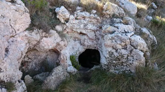
Cocó de Recules
0.3 km · NW
Vandellòs i l'Hospitalet de l'Infant (Baix Camp)
1 topo.2 photos
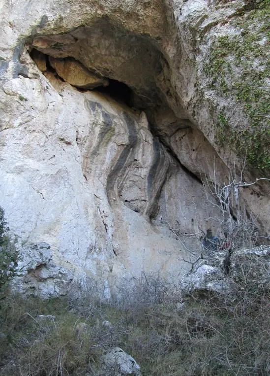
Cova del Colom
0.8 km · NW
Vandellòs i l'Hospitalet de l'Infant (Baix Camp)
1 topo.1 photos
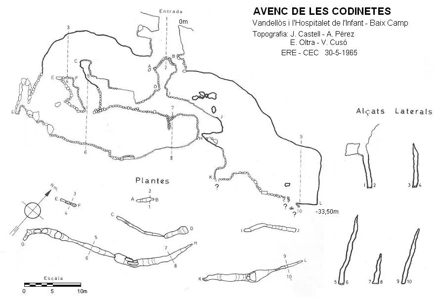
Avenc de les Codinetes
2.3 km · NE
Vandellòs i l'Hospitalet de l'Infant (Baix Camp)
1 topo.
Avenc de les Forques
2.4 km · S
Vandellòs i l'Hospitalet de l'Infant (Baix Ebre)
2 topo.9 photos
Source: Espeleoindex (espeleoindex.com), modified. CC BY-NC 4.0, https://creativecommons.org/licenses/by-nc/4.0/