
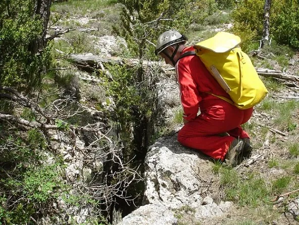
Avenc de l'escletxa Petita de Corrubí
Petita esquerda veïna del conjunt de les Escletxes de Corrubí
EspeleoWorld
Avenc de l'escletxa Petita de Corrubí
Petita esquerda veïna del conjunt de les Escletxes de Corrubí
Llosses, Les · Ripollès
Length: 36 m · Depth: 14 m
Updated record
https://espeleoworld.com/en/c/avenc-de-l-escletxa-petita-de-corrubi
Information can change. Always verify coordinates, access, weather, and cave conditions before setting out.
Small neighbouring fissure of the Les Escletxes de Corrubí group, in the upper part of the Rasos de Tubau, SE of the Pedró de Tubau (1543 m).
Topographic
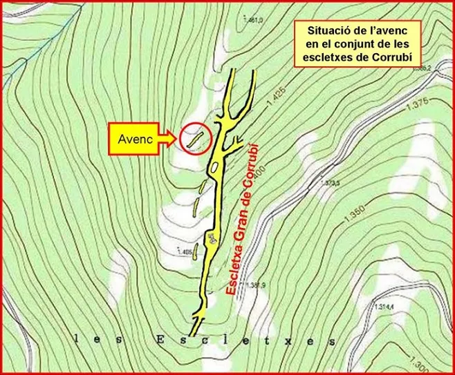

Espeleoindex · CC BY-NC 4.0, https://creativecommons.org/licenses/by-nc/4.0/ · Image © its author.
Photos

Espeleoindex · CC BY-NC 4.0, https://creativecommons.org/licenses/by-nc/4.0/ · Image © its author.
Description
Morphology
On the surface the cavity appears as a fissure almost 30 metres long, rather narrow (always less than a metre wide) and with a slightly ascending course (there is a height difference of 5 metres between the two ends).
The narrowness of the fissure has favoured the presence of numerous blocks wedged between the walls. The existence of blocks, together with narrow sections and projections, draws a very irregular plan through which it is not easy to make progress.
The lowest point is 9 metres below the zero datum, but the greatest vertical drop is reached at the highest end of the fissure, being 5 metres above the zero datum.
Progression
The existence of blocks, together with narrow sections and projections, draws a very irregular plan through which it is not easy to make progress.
History
Known as “Les Escletxes” by the people of the area. Also known to some hikers, but from the speleological point of view they have not been the object of attention until recent times. In fact they do not appear in any of the speleological catalogues published so far.
The cataloguing work was carried out on 6 May 2017 by members of the EC Barcelonès and the GE Badalona.
User Comments (0)
No comments yet.
Be the first to share your experience!
Registered Explorations (0)
No explorations registered yet.
Register your visit to this cave!
Bibliography
- Totes les dades, topografia i fotografies han estat extretes del web: geb.cat (del GE Badalona). Apunt del 19-6-2018. Autors de les dades: F. Cardona (EC Barcelonès), J. Cuenca i X. Samarra (GE Badalona)
Nearby caves
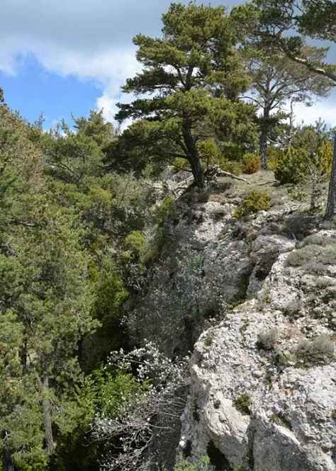
Escletxa Gran de Corrubí
0.3 km · S
Llosses, Les (Ripollès)
2 topo.4 photos
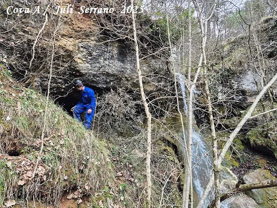
Coves de l'Aigua de Caselles
0.9 km · S
Llosses, Les (Ripollès)
1 topo.13 photos
Esquerda Nº1 del Clot de l'infern
1.2 km · E
Llosses, Les (Ripollès)
1 topo.9 photos
Cova d'en Nil de la Riba
1.2 km · SE
Llosses, Les (Ripollès)
1 topo.11 photos
Source: Espeleoindex (espeleoindex.com), modified. CC BY-NC 4.0, https://creativecommons.org/licenses/by-nc/4.0/