
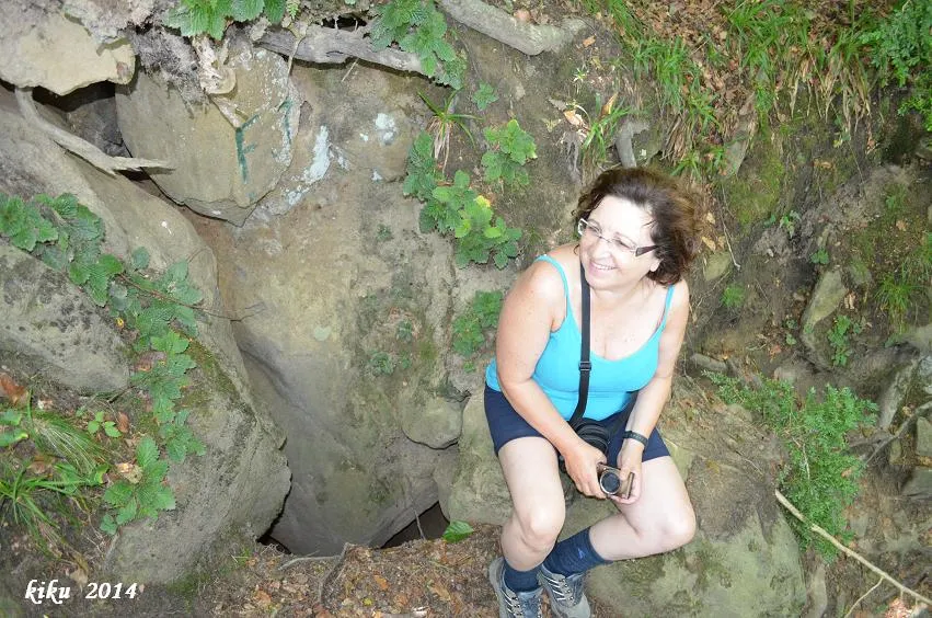
Avenc de Can Roca Roja Nº3
Avenc de 12 metres de fondària a la zona de Can Roca Roja, Sant Feliu de Pallerols.
EspeleoWorld
Avenc de Can Roca Roja Nº3
Avenc de 12 metres de fondària a la zona de Can Roca Roja, Sant Feliu de Pallerols.
Sant Feliu de Pallerols · Garrotxa
Length: 46 m · Depth: 12 m
Updated record
https://espeleoworld.com/en/c/avenc-de-can-roca-roja-n-3
Information can change. Always verify coordinates, access, weather, and cave conditions before setting out.
A 12-metre-deep pit in the Can Roca Roja area, Sant Feliu de Pallerols, explored and surveyed on 9 June 1976 by the GGG.
Topographic
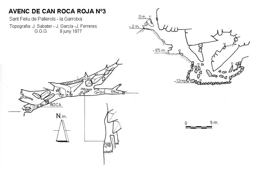

Espeleoindex · CC BY-NC 4.0, https://creativecommons.org/licenses/by-nc/4.0/ · Image © its author.
Photos

Espeleoindex · CC BY-NC 4.0, https://creativecommons.org/licenses/by-nc/4.0/ · Image © its author.
Description
Morphology
The entrance of this small cavity appears divided in two, one above the other. At the entrance there follows a ramp with a 40º incline and 6 metres long. From here, through a small chaos of blocks with a 4-metre drop and 8-metre length, the deepest point of the cavity is reached.
Progression
The entrance of this small cavity appears divided in two, one above the other. At the entrance there follows a ramp with a 40º incline and 6 metres long. From here, through a small chaos of blocks with a 4-metre drop and 8-metre length, the deepest point of the cavity is reached.
History
The first exploration of which we have record is the one carried out on 9 June 1976 by members of the GGG (Grup Geogràfic de Gràcia, predecessor of the current ECG), who explored and surveyed the cavity. At first it was mistakenly named “Avenc de Can Roca Reiga nº 3”; this name was corrected in later catalogues to the correct name of “Can Roca Roja”.
User Comments (0)
No comments yet.
Be the first to share your experience!
Registered Explorations (0)
No explorations registered yet.
Register your visit to this cave!
Bibliography
- Borràs, J;Miñarro, JM; Talavera, F.(1982).-”el Baix Empordà, el Gironès, la Selva,l'Osona, el Vallès oriental i el Maresme.” Catàleg Espeleològic de Catalunya (vol.6):84-85. Ed Políglota. Barcelona.
- Lagar, A.; Cardona, F.; Ferreres,J.(1977).-”Dades per al coneixement espeleològic de la Salut – Collsacabra. Barcelona” Excursionisme (31):24-32. UEC.
- Lagar, A.; Cardona, F.; Ferreres,J.(1978).-”Datos para el conocimiento espeleològico de la Salut – Collsacabra. Barcelona. Exploracions (2):11-27. Grup Geogràfic de Gràcia.
Nearby caves
Avenc de Can Roca Roja Nº2
0.0 km · E
Sant Feliu de Pallerols (Garrotxa)
2 topo.4 photos
Avenc de Can Roca Roja Nº4
0.0 km · E
Sant Feliu de Pallerols (Garrotxa)
1 topo.4 photos
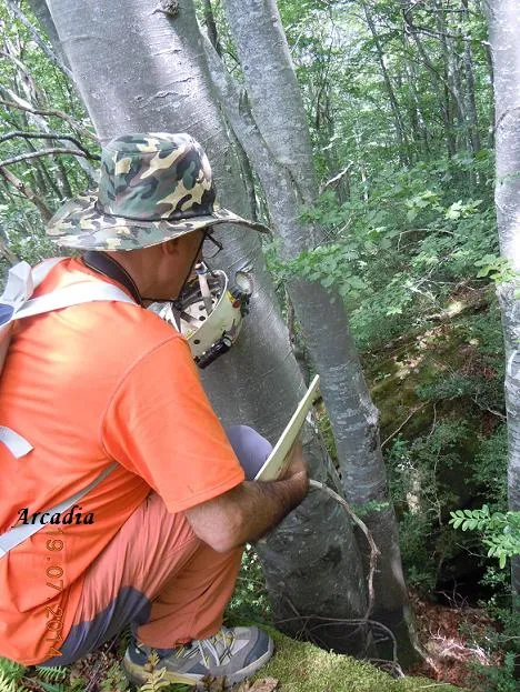
Avenc de Can Roca Roja Nº1
0.1 km · SW
Sant Feliu de Pallerols (Garrotxa)
1 topo.4 photos
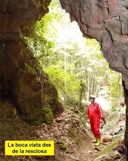
Cova de la Font Grossa
0.5 km · N
Sant Feliu de Pallerols (Garrotxa)
3 topo.5 photos
Source: Espeleoindex (espeleoindex.com), modified. CC BY-NC 4.0, https://creativecommons.org/licenses/by-nc/4.0/