

Avenc de Can Ramonet
Single 27 m deep pit in Olivella (Garraf), an old stream sink now suspended about 15 m above the streambed.
EspeleoWorld
Avenc de Can Ramonet
Single 27 m deep pit in Olivella (Garraf), an old stream sink now suspended about 15 m above the streambed.
Olivella · Garraf
Length: 35 m · Depth: 27 m
Updated record
https://espeleoworld.com/en/c/avenc-de-can-ramonet
Information can change. Always verify coordinates, access, weather, and cave conditions before setting out.
Single 27 m deep pit in Olivella (Garraf), an old stream sink now suspended about 15 m above the streambed.
Topographic

Espeleoindex · CC BY-NC 4.0, https://creativecommons.org/licenses/by-nc/4.0/ · Image © its author.
Photos
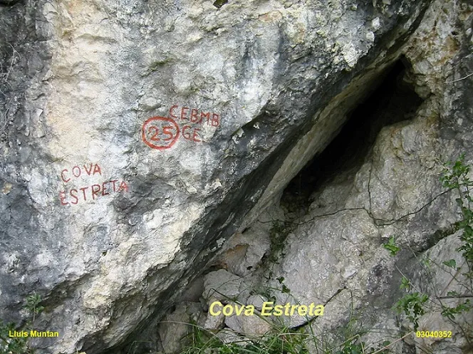
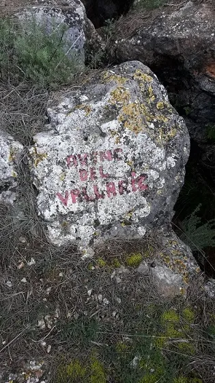
Espeleoindex · CC BY-NC 4.0, https://creativecommons.org/licenses/by-nc/4.0/ · Image © its author.
Description
Morphology
An almost circular mouth of nearly 1 metres in diameter gives way to a passage that, a few metres down, connects with a bell-shaped shaft 25 metres in vertical drop and lands right in the middle of a pronounced ramp of clastic products about 10 metres in total length and 6 metres in width.
Speleothems
The wall formations are quite notable along almost the whole shaft.
Hydrology
Old stream sink, currently suspended about 15 metres above the streambed.
History
The first exploration was carried out by members of the SES – CE Puigmal (Barcelona) around the year 1958.
User Comments (0)
No comments yet.
Be the first to share your experience!
Registered Explorations (0)
No explorations registered yet.
Register your visit to this cave!
Bibliography
- Borràs, J. (1974).- Catálogo espeleológico del macizo de Garraf. Vol. III . 207 pp. Barcelona.
- Castell, J.; Tejedor,J. (1982).- “Cadastre Espeleològic de la comarca del Garraf” (2ª part). Butll. de la Biblioteca Museu Víctor Balaguer (6èna època): 84-152. Vilanova i la Geltrú.
· Revisió de coordenades i situació facilitades per Jordi Navarro (Centre Excursionista de Castellar del Vallès)
Nearby caves




Source: Espeleoindex (espeleoindex.com), modified. CC BY-NC 4.0, https://creativecommons.org/licenses/by-nc/4.0/