
Grotta Voltelle
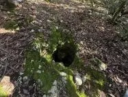
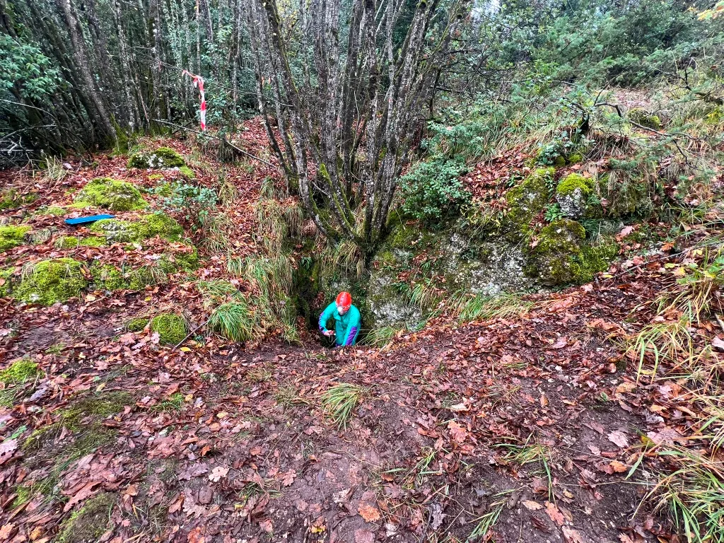
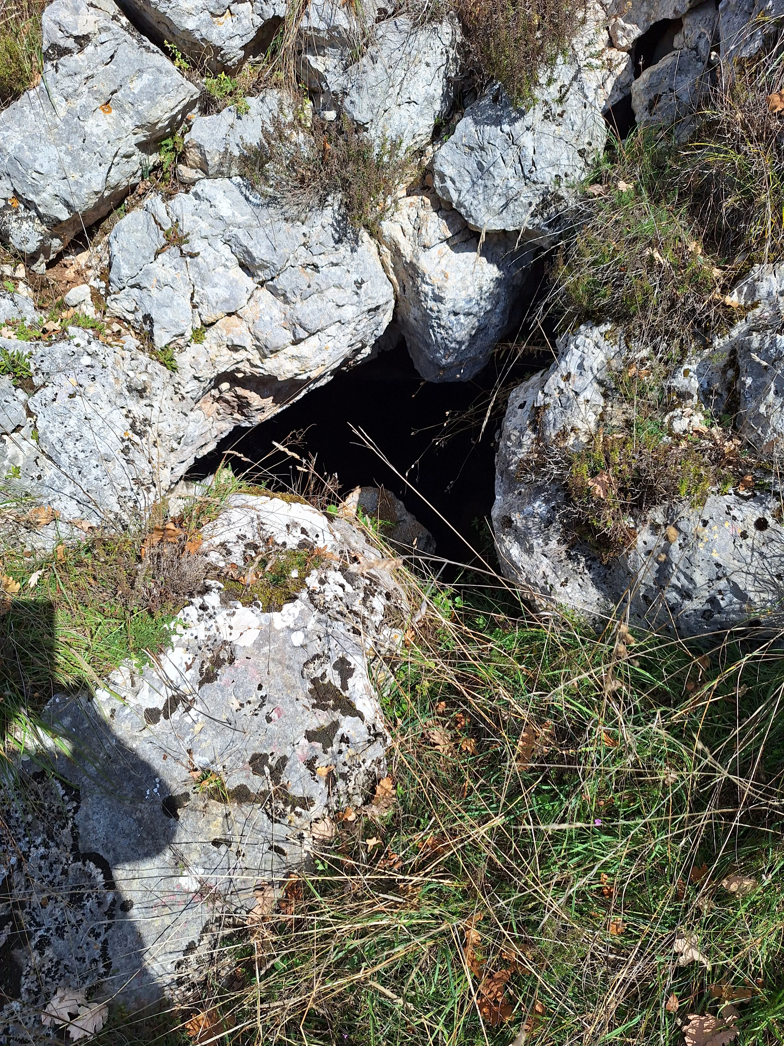
Narrow horizontal joint, accessible via a small shaft, in a natural setting with a semicircular opening in the ground in the middle of the woods.
EspeleoWorld
Grotta Voltelle
Narrow horizontal joint, accessible via a small shaft, in a natural setting with a semicircular opening in the ground in the middle of the woods.
Stroncone
Länge: 10 m · Tiefe: 4 m
Aktueller Datensatz
https://espeleoworld.com/de/c/grotta-voltelle-stroncone-terni
Informationen können sich ändern. Koordinaten, Zugang, Wetter und Höhlenbedingungen vor dem Aufbruch immer prüfen.
Narrow horizontal joint, accessible via a small shaft, in a natural setting with a semicircular opening in the ground in the middle of the woods.
Fotos
© Mario Giacomini · LicenseRef-FUGS-media-per-item · Federazione Umbra Gruppi Speleologici (FUGS), Catasto Speleologico dell'Umbria · https://catasto.fugs.it/index.php?mod=caves&op=view&id=492
Beschreibung
Morphologie
Narrow joint accessed via a small shaft. Orientation: horizontal.
Hydrologie
Hydrology and meteorology: absorbent.
Befahrung
Traversability: easy; recommended period all year round. Rigging: temporary; simple anchor on a tree.
Weitere Einzelheiten
Geology: CDU1 Calcari Diasprigni - Middle-Upper Jurassic (Callovian-Tithonian); CDU2 Calcari a Saccoma ed Aptici - Upper Jurassic (Kimmeridgian-Tithonian); cherty limestones; stratified; inclined; widespread; Calcari Diasprigni; calcari diasprigni.
Geschichte
Protection of historical-archaeological sites: no. Cadastral chronology: Fiorello Bevilacqua, first cadastral surveyor 1975.
Bio
Environmental and biological protections: no.
Benutzerkommentare (0)
Noch keine Kommentare.
Seien Sie der Erste, der seine Erfahrung teilt!
Registrierte Erkundungen (0)
Noch keine Erkundungen registriert.
Registrieren Sie Ihren Besuch in dieser Höhle!
Höhlen in der Nähe

Quelle: Catasto Cavità Umbria (Federazione Umbra Gruppi Speleologici, FUGS) (catasto.fugs.it), verändert. LicenseRef-FUGS-no-licence-stated Federazione Umbra Gruppi Speleologici (FUGS), Catasto Speleologico dell'Umbria · https://catasto.fugs.it/index.php?mod=caves&op=view&id=492 · Datenstand 2025 · Quelle: Catasto Cavità Umbria (Federazione Umbra Gruppi Speleologici, FUGS) (catasto.fugs.it), verändert. LicenseRef-FUGS-media-per-item Federazione Umbra Gruppi Speleologici (FUGS), Catasto Speleologico dell'Umbria · Datenstand 2025