
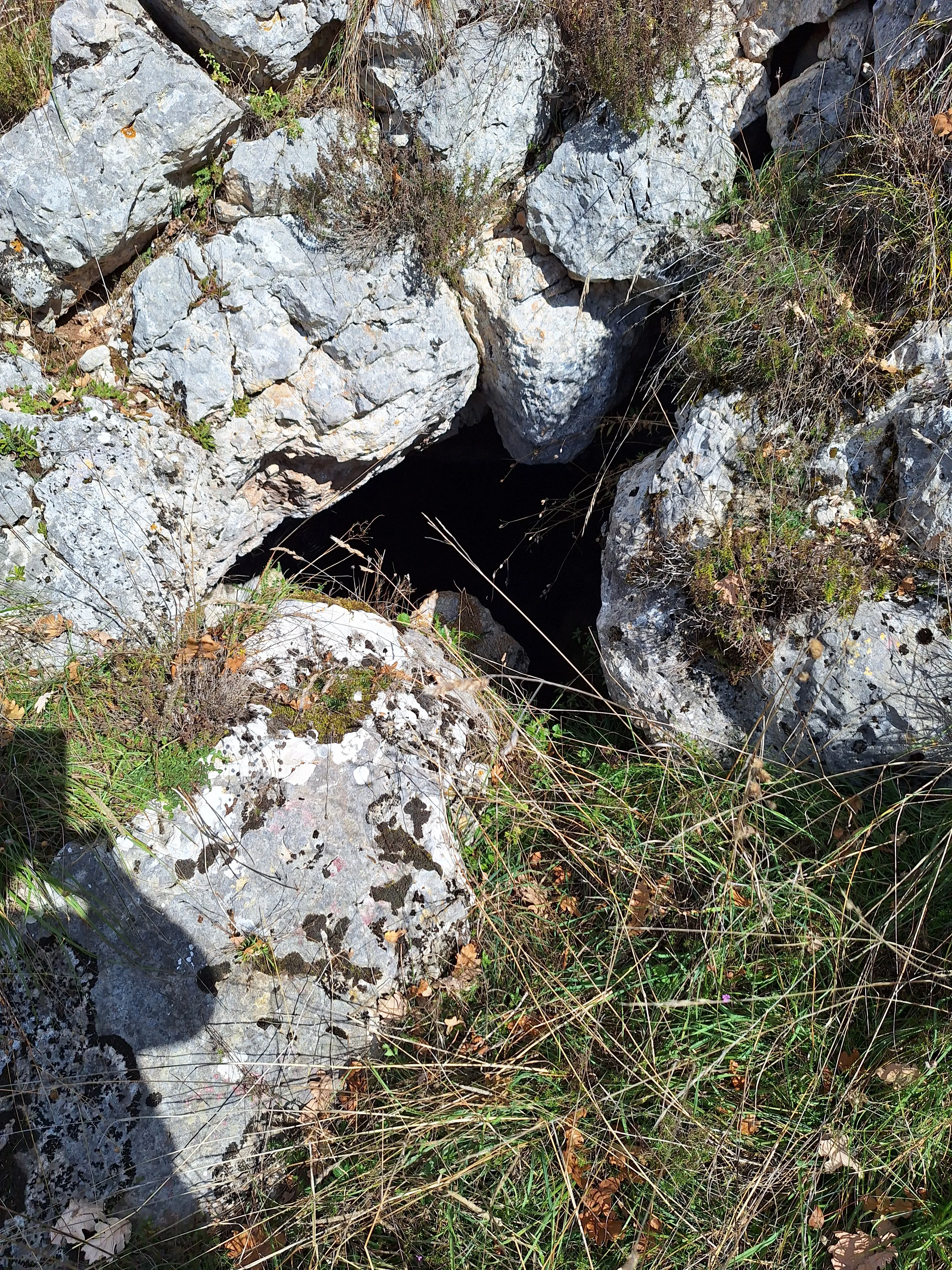
Grotta di Colle Pera
A cavity with a narrow opening and a small shaft leading to a small chamber and an ascending gallery, initially filled with earth and stones.
EspeleoWorld
Grotta di Colle Pera
A cavity with a narrow opening and a small shaft leading to a small chamber and an ascending gallery, initially filled with earth and stones.
Stroncone
Länge: 15 m · Tiefe: 9 m
Aktueller Datensatz
https://espeleoworld.com/de/c/grotta-di-colle-pera-stroncone-terni
Informationen können sich ändern. Koordinaten, Zugang, Wetter und Höhlenbedingungen vor dem Aufbruch immer prüfen.
A cavity with a narrow opening and a small shaft leading to a small chamber and an ascending gallery, initially filled with earth and stones.
Fotos
© Mario Giacomini · LicenseRef-FUGS-media-per-item · Federazione Umbra Gruppi Speleologici (FUGS), Catasto Speleologico dell'Umbria · https://catasto.fugs.it/index.php?mod=caves&op=view&id=499
Beschreibung
Morphologie
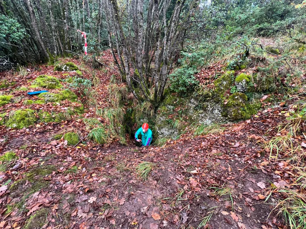
The main entrance is a hole at the foot of a rock from which one enters a fairly wide cavity crossed by a joint. The fissure also extends upwards through a narrow passage that opens into an upper entrance. The height difference between the two entrances is about 5 mt. A narrow opening and a small shaft lead into a small chamber and an ascending gallery that opens to the outside. The cave was initially filled with earth and stones. Trend: ascending/descending.
Hydrologie
Hydrology and meteorology: absorbent; no circulation; environmental conditions equal to the outside.
Befahrung
Traversability: easy; recommended period all year round. Rigging: temporary; single rope for ascent of about 4 mt.
Weitere Einzelheiten
Geology: CDU1 Calcari Diasprigni - Middle-Upper Jurassic (Callovian-Tithonian); cherty limestones; stratified; subhorizontal; widespread, faults; stratified and corroded Diasprigni limestones. From the corrosion of these, red clay originates that filled the cave in the past.
Protection of historical-archaeological sites: no.
Notes on the name: family of shepherds from the area.
Geschichte
Probably used as a shelter by shepherds. Finds: archaeological. Archaeology and palethnology: discovery of fragments of fictile material that, once reassembled, formed a two-handled jug in fine ceramic dating to the late Roman period (finder Dr. Lanzi Franco). The excavations carried out by the GSS from 1975 to 1990 brought to light late Roman ceramic finds. Studies: archaeological.
Bio
Hypogean botany: algae and lichens. Environmental and biological protections: no.
Benutzerkommentare (0)
Noch keine Kommentare.
Seien Sie der Erste, der seine Erfahrung teilt!
Registrierte Erkundungen (0)
Noch keine Erkundungen registriert.
Registrieren Sie Ihren Besuch in dieser Höhle!
Höhlen in der Nähe

Quelle: Catasto Cavità Umbria (Federazione Umbra Gruppi Speleologici, FUGS) (catasto.fugs.it), verändert. LicenseRef-FUGS-no-licence-stated Federazione Umbra Gruppi Speleologici (FUGS), Catasto Speleologico dell'Umbria · https://catasto.fugs.it/index.php?mod=caves&op=view&id=499 · Datenstand 2025 · Quelle: Catasto Cavità Umbria (Federazione Umbra Gruppi Speleologici, FUGS) (catasto.fugs.it), verändert. LicenseRef-FUGS-media-per-item Federazione Umbra Gruppi Speleologici (FUGS), Catasto Speleologico dell'Umbria · Datenstand 2025