
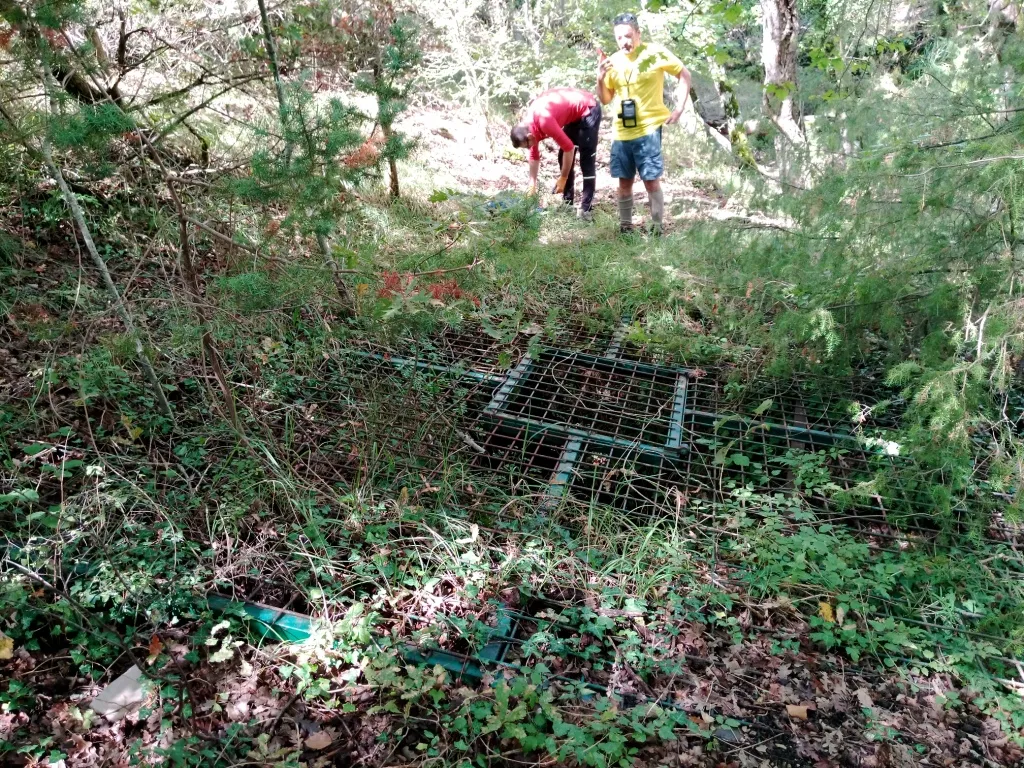
Pozzo Ferragosto
A cave with predominantly vertical development, with fusiform pits up to 70 m deep, a small lake and a narrow passage toward the terminal chamber, opening on Scaglia Variegata.
EspeleoWorld
Pozzo Ferragosto
A cave with predominantly vertical development, with fusiform pits up to 70 m deep, a small lake and a narrow passage toward the terminal chamber, opening on Scaglia Variegata.
San Venanzo
Длина: 121 m · Глубина: 71 m
Актуальная запись
https://espeleoworld.com/ru/c/pozzo-ferragosto-san-venanzo-terni
Информация может меняться. Перед выходом всегда проверяйте координаты, доступ, погоду и состояние пещеры.
A cave with predominantly vertical development, with fusiform pits up to 70 m deep, a small lake and a narrow passage toward the terminal chamber, opening on Scaglia Variegata.
Фотографии
© Mauro Barbieri · LicenseRef-FUGS-media-per-item · Federazione Umbra Gruppi Speleologici (FUGS), Catasto Speleologico dell'Umbria · https://catasto.fugs.it/index.php?mod=caves&op=view&id=886
Описание
Морфология
Cave with fusiform pits with a maximum depth of 70 m, with a small lake and a narrow passage leading toward the terminal chamber; possible continuation. It opens on Scaglia Variegata. Trend: predominantly vertical.
Гидрология
Hydrology and meteorology: absorbent, temporarily absorbent, slight flows; internal temperature 14.2 °C; humidity 87 %; air flows absent. Measurements as of 29/12/2024, external conditions at 11: temperature 14.5 °C, humidity 70 %.
Water difficulties: watercourses.
Прохождение
Traversability: experts only; recommended period all year round. Rigging: temporary. Hazards: dangerous access, landslides/rockfalls, pits that discharge.
Другие сведения
Geology: VAS Scaglia Variegata - Eocene Med.Sup. (Lutetian-Priabonian); marls; stratified.
Биология
Chiroptera: at least two species of chiroptera present, elements identified as of 29/12/2024. Other hypogean fauna: a small frog present in the terminal part, also a large fly as of 29/12/2024. Hypogean botany: small mushrooms and roots pushing downward in the initial part.
Комментарии пользователей (0)
Комментариев пока нет.
Станьте первым, кто поделится своим опытом!
Зарегистрированные исследования (0)
Зарегистрированных исследований пока нет.
Зарегистрируйте свое посещение этой пещеры!
Ближайшие пещеры
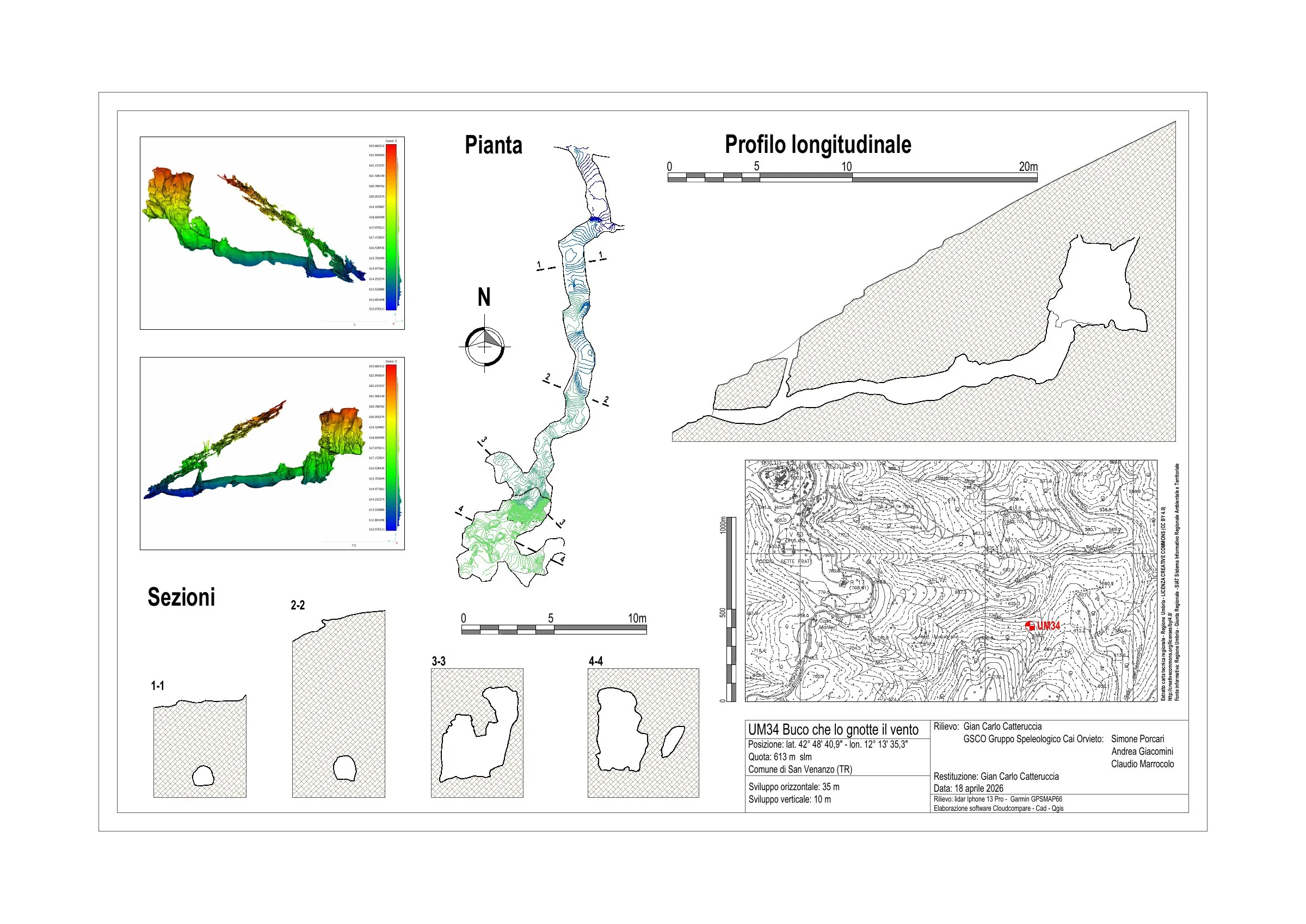
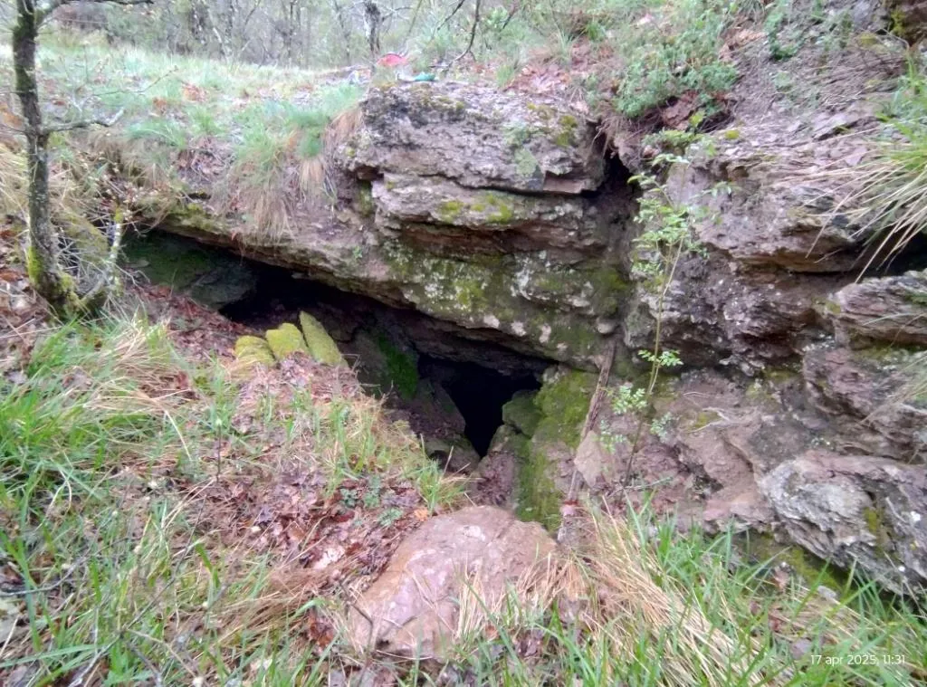
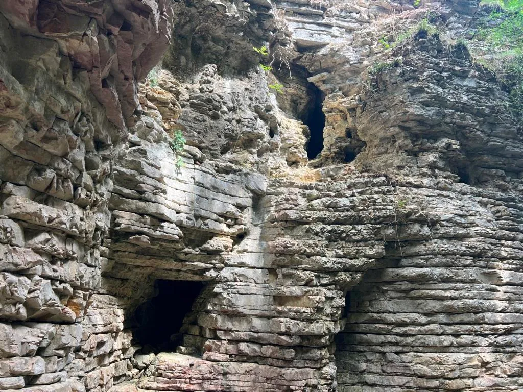

Источник: Catasto Cavità Umbria (Federazione Umbra Gruppi Speleologici, FUGS) (catasto.fugs.it), с изменениями. LicenseRef-FUGS-no-licence-stated Federazione Umbra Gruppi Speleologici (FUGS), Catasto Speleologico dell'Umbria · https://catasto.fugs.it/index.php?mod=caves&op=view&id=886 · данные на 2025 г. · Источник: Catasto Cavità Umbria (Federazione Umbra Gruppi Speleologici, FUGS) (catasto.fugs.it), с изменениями. LicenseRef-FUGS-media-per-item Federazione Umbra Gruppi Speleologici (FUGS), Catasto Speleologico dell'Umbria · данные на 2025 г.