
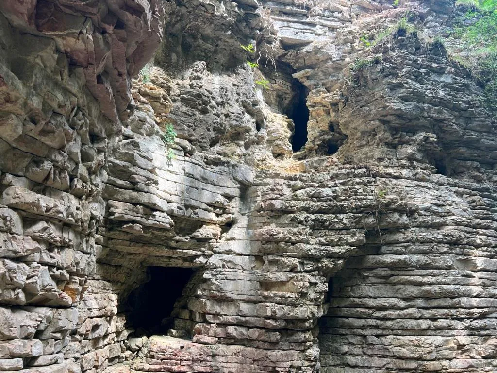
Grotta Fosso del Curso
Cavity in the Fosso del Curso with a surveyed development of 19.50 m and a positive height difference of 4.50 m, with an ascending/descending trend and demanding traversability.
EspeleoWorld
Grotta Fosso del Curso
Cavity in the Fosso del Curso with a surveyed development of 19.50 m and a positive height difference of 4.50 m, with an ascending/descending trend and demanding traversability.
San Venanzo
Длина: 23 m · Глубина: 4 m
Актуальная запись
https://espeleoworld.com/ru/c/grotta-fosso-del-curso-san-venanzo-terni
Информация может меняться. Перед выходом всегда проверяйте координаты, доступ, погоду и состояние пещеры.
Cavity in the Fosso del Curso with a surveyed development of 19.50 m and a positive height difference of 4.50 m, with an ascending/descending trend and demanding traversability.
Фотографии
© Mauro Barbieri · LicenseRef-FUGS-media-per-item · Federazione Umbra Gruppi Speleologici (FUGS), Catasto Speleologico dell'Umbria · https://catasto.fugs.it/index.php?mod=caves&op=view&id=369
Описание
Морфология
Cavity with a surveyed development of 19.50 m, with a positive height difference equal to 4.50 m. Trend: Ascending/Descending.
Гидрология
Water difficulties: Watercourses. Traversability: Demanding; recommended period No with precipitation. Hazards: Dangerous access, Landslides/collapses, Floods/inundations.
Прохождение
Rigging: Temporary. Progression difficulty: Drops, Slides, Traverses, Ascents.
Другие сведения
Geology: SAA Scaglia Rossa - Upper Cretaceous-Middle Eocene (Turonian-Lutetian); Stratified micritic limestones; Stratified.
История
Notes on the name: It takes its name from the stream where it is located.
Комментарии пользователей (0)
Комментариев пока нет.
Станьте первым, кто поделится своим опытом!
Зарегистрированные исследования (0)
Зарегистрированных исследований пока нет.
Зарегистрируйте свое посещение этой пещеры!
Ближайшие пещеры
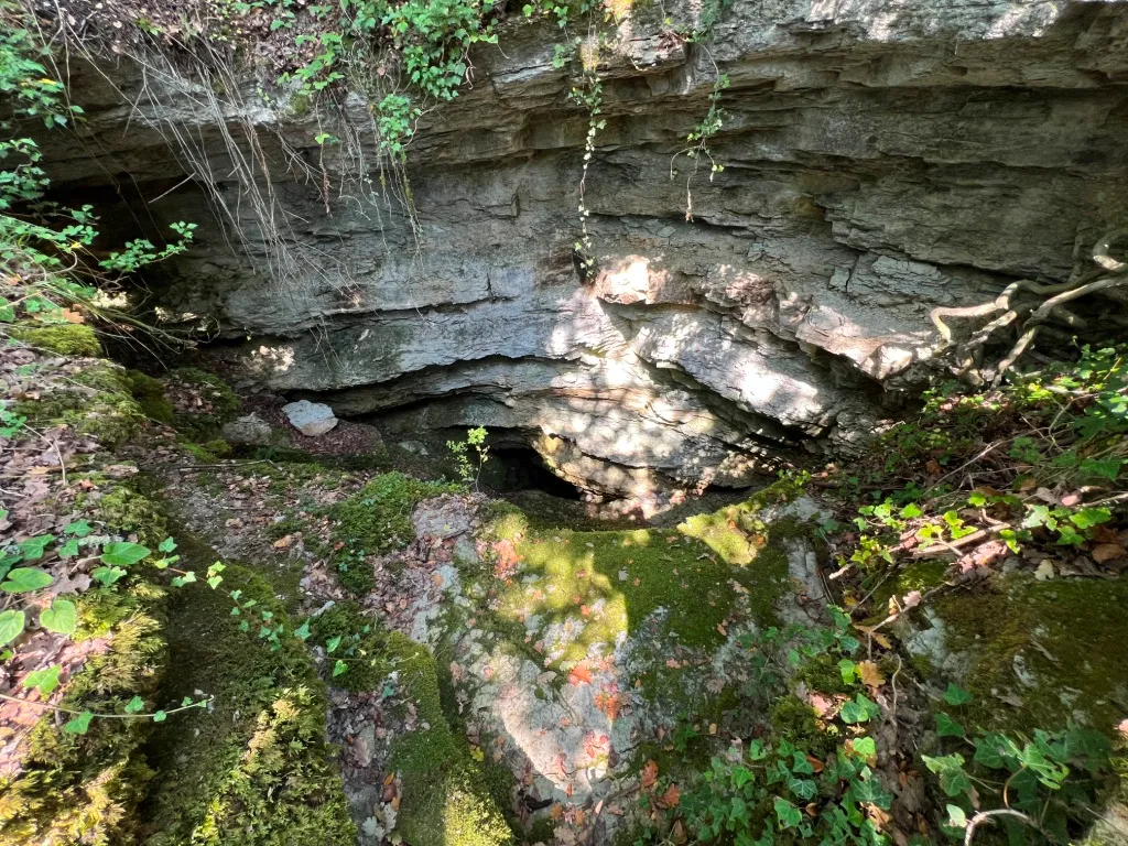
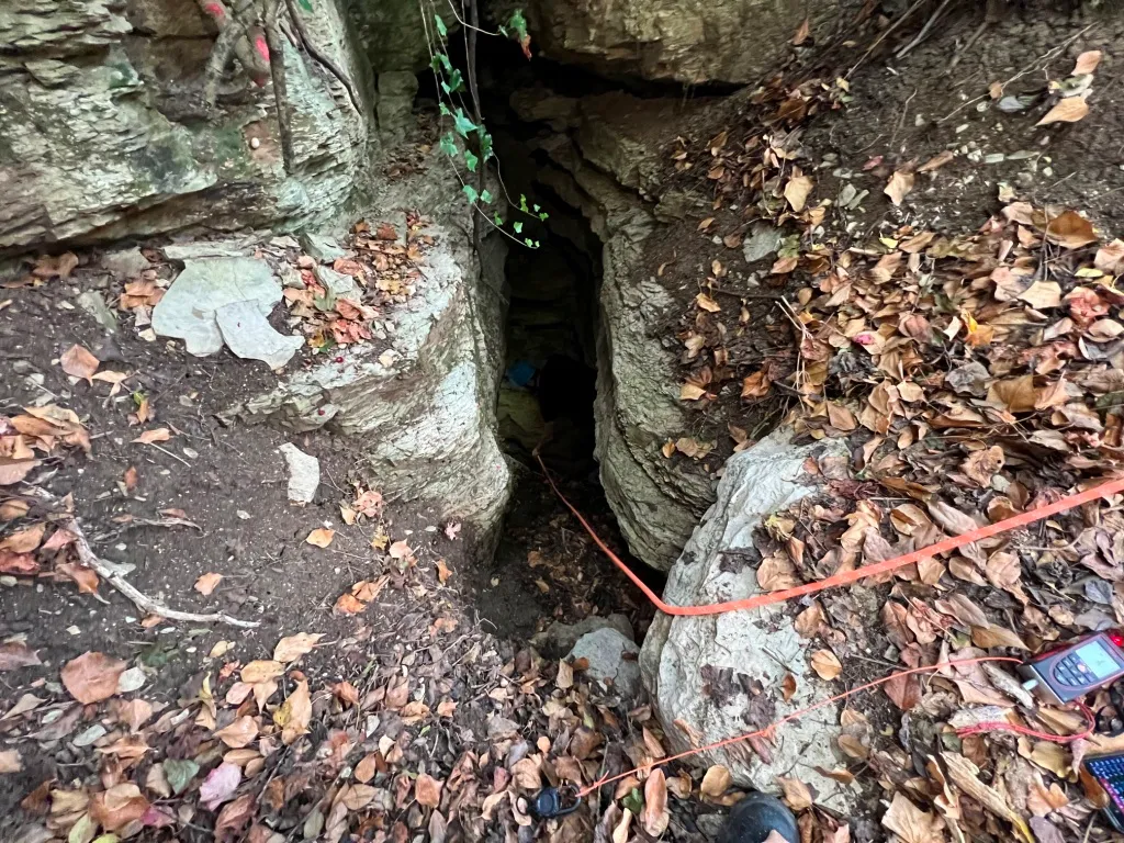
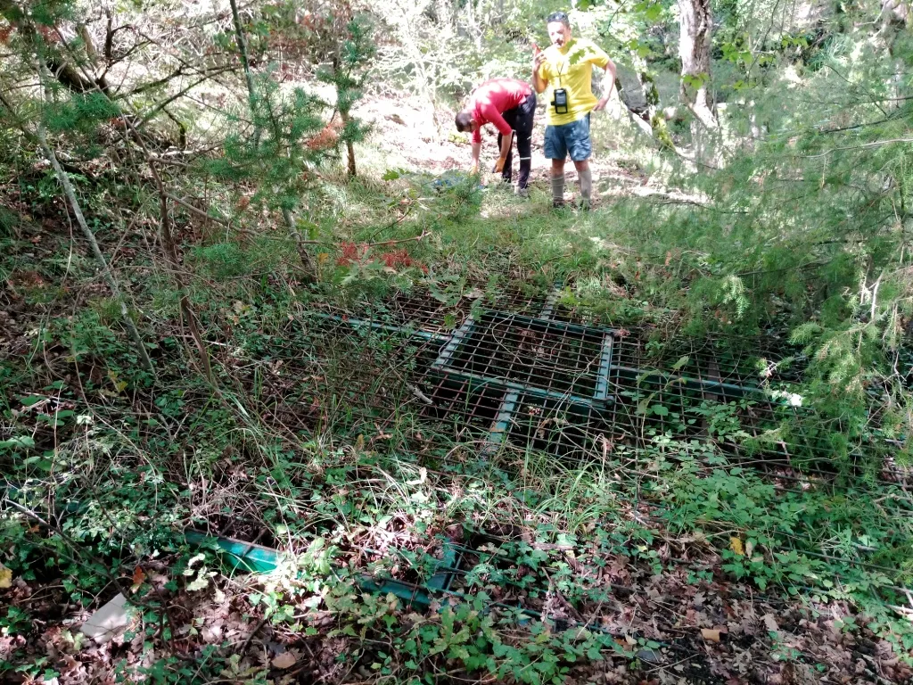

Источник: Catasto Cavità Umbria (Federazione Umbra Gruppi Speleologici, FUGS) (catasto.fugs.it), с изменениями. LicenseRef-FUGS-no-licence-stated Federazione Umbra Gruppi Speleologici (FUGS), Catasto Speleologico dell'Umbria · https://catasto.fugs.it/index.php?mod=caves&op=view&id=369 · данные на 2025 г. · Источник: Catasto Cavità Umbria (Federazione Umbra Gruppi Speleologici, FUGS) (catasto.fugs.it), с изменениями. LicenseRef-FUGS-media-per-item Federazione Umbra Gruppi Speleologici (FUGS), Catasto Speleologico dell'Umbria · данные на 2025 г.