
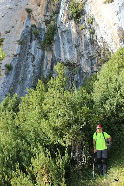
l'Esplugueta
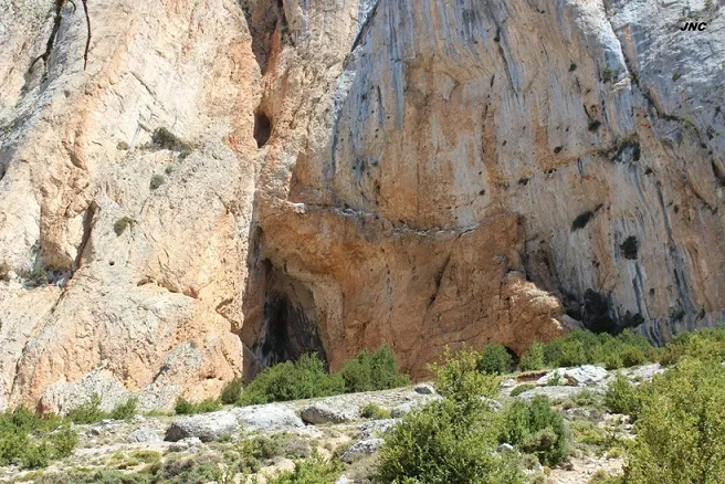
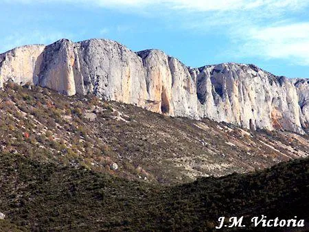
Small cave in the Serra de Sant Gervàs (Tremp), with a shelter about 12 m long and 6 m high, visited in 1911 by R. Jeannel and in 1977 by the ERE – CEC.
EspeleoWorld
l'Esplugueta
Small cave in the Serra de Sant Gervàs (Tremp), with a shelter about 12 m long and 6 m high, visited in 1911 by R. Jeannel and in 1977 by the ERE – CEC.
Tremp · Pallars Jussà
Sviluppo: 11 m · Profondità: 1 m
Scheda aggiornata
https://espeleoworld.com/it/c/l-esplugueta
Le informazioni possono cambiare. Verifica sempre coordinate, accesso, meteo e condizioni della cavità prima di partire.
Small cave in the Serra de Sant Gervàs (Tremp), with a shelter about 12 m long and 6 m high, visited in 1911 by R. Jeannel and in 1977 by the ERE – CEC.
Topografia
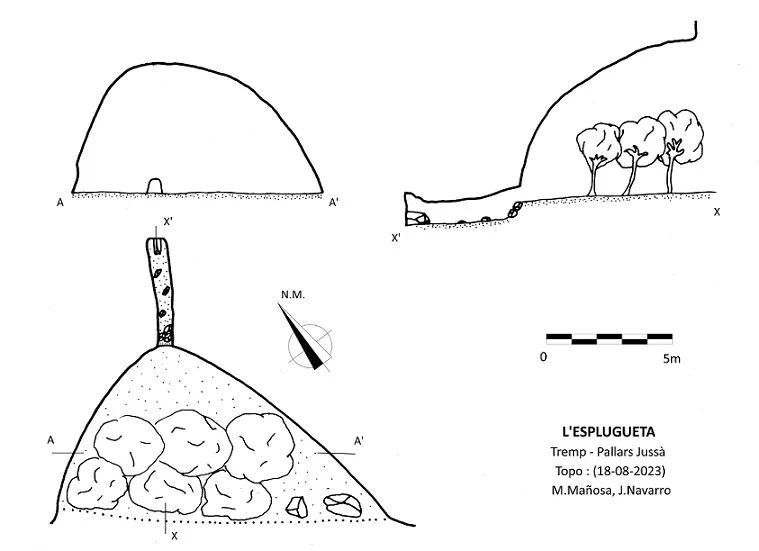
Espeleoindex · CC BY-NC 4.0, https://creativecommons.org/licenses/by-nc/4.0/ · Immagine © del suo autore.
Foto
Espeleoindex · CC BY-NC 4.0, https://creativecommons.org/licenses/by-nc/4.0/ · Immagine © del suo autore.
Descrizione
Morfologia
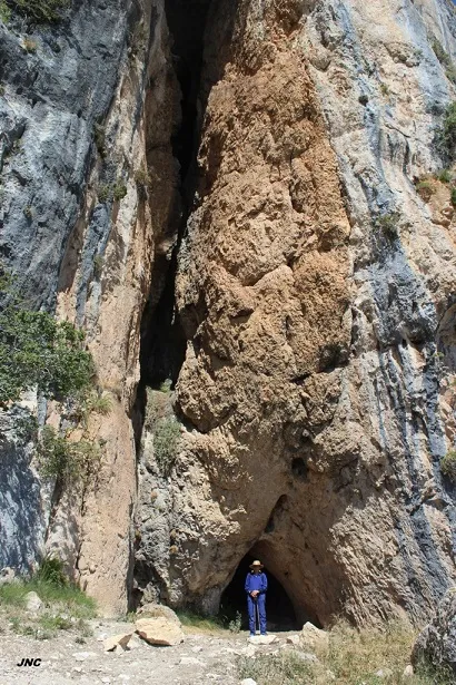
Shelter about 12 m long and 6 m high, completely overgrown with vegetation. In its innermost part a small passage of 0.6x0.8 m begins, straight and descending for about 4 m.
Storia
The first record we have is provided by R. Jeannel, who visited it on 18-7-1911 during his biospeleological campaigns.
It was not until 25-9-1977 that it was visited again by members of the ERE – CEC.
Commenti degli utenti (0)
Nessun commento ancora.
Sii il primo a condividere la tua esperienza!
Esplorazioni registrate (0)
Nessuna esplorazione registrata.
Registra la tua visita a questa grotta!
Bibliografia
- Borràs,J.; Miñarro,JM.; Talavera,F.(1979).-”El Pallars Jussà”. Catàleg Espeleològic de Catalunya (Vol.3): 1-211. Ed Políglota.Barcelona.
- Jeannel, R. Et Racovitza, E.G. (1912).- “Enumération des grottes visitées, 1909-1911”. Biospeologica (XXIV). Archives de Zoologie Expérimentale et Générale.
- Valles, Jordi de (2008).-”Alta Ribagorça, Pallars Jussà, Pallars Sobirà, Val d'Aran”. Catàleg Espeleològic de Catalunya (vol.1)1-319. EC Gràcia/FCE.
- Coordenades, dades, topografia i fotografies facilitades per Jordi Navarro i Montse Mañosa (Centre Excursionista de Castellar del Vallès), agost de 2023.
Grotte vicine


Fonte: Espeleoindex (espeleoindex.com), modificato. CC BY-NC 4.0, https://creativecommons.org/licenses/by-nc/4.0/